
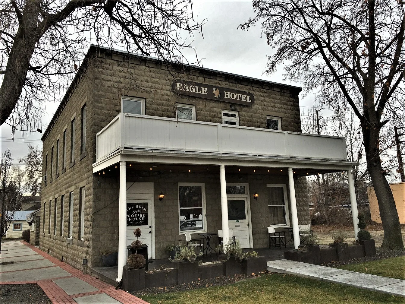
East Amanita Street in Eagle, Idaho
East Amanita Street in Eagle is an asphalted residential street. It runs in an east-west direction starting from North 2nd Street and crosses East Mission Drive and ends at North Stierman Way.
- Road Type
- residential street
- Route
- east-west
Image
Artworks
Pharmacies
Post offices
Clinics
Restaurants
Frame shops
Massage therapy clinics
Secondhand stores
Money transfer services
Fast food restaurants
Cafes
Hair salons
Vape shops
Streets nearby
North 2nd Street0.1 mi
East Mission Drive0.1 mi
North Stierman Way0.1 mi
East State StreetChina Palace, Papa John's, Finer Frames, Pella Windows and Doors, Taco Del Mar, Lily Lace Garden, PostalAnnex, T-Mobile, Diamond Nails & Spa, Vapor Lounge
0.1 mi
East Pebble Beach Court0.1 mi
North Mission Court0.2 mi
East Idaho Street0.2 mi
North 1st Street0.2 mi
East Longwood Drive0.2 mi
North Yellow Pine Place0.2 mi
South 1st Street0.2 mi
South 2nd StreetSav-On Pharmacy, Elements Massage
0.2 mi
East Mango Drive0.2 mi
North Buchanan Drive0.2 mi
North Eagle RoadEagle
0.2 mi
East Aikens Road0.3 mi
East Spring Hill Drive0.3 mi
North Ash Street0.3 mi
North Dogwood Place0.3 mi
North Beachwood Street0.4 mi
Bike shops nearby
Reed Cycle0.1 mi
Buildings nearby
Gem State Brewing0.2 mi
Spitfire Tacos + Tequila0.2 mi
Farmers Insurance0.2 mi
Canals nearby
Dry Creek Canal0.1 mi
Community centers nearby
City of Eagle Senior Center500 ft
Convenience stores nearby
Jacksons0.3 mi
Fast food restaurants nearby
Subway0.2 mi
Parks nearby
Heritage Park0.2 mi
Places of worship nearby
Creekside Bible Church400 ft
Eagle Hills Church0.4 mi
Residential areas nearby
Eagle Village200 ft
Eagle Ridge0.1 mi
Carpenter's Addition0.1 mi
Mobile Manor0.2 mi
Mission0.2 mi
Buchanan0.2 mi
Poblado Condominiums0.2 mi
Towne Apartments0.2 mi
Schmelzer Addition0.2 mi
Jackson Park0.3 mi
Restaurants nearby
Tasso0.1 mi
Davinci's Italian Restaurant0.2 mi
Old State Saloon0.2 mi
Smoky Mountain Pizzeria Grill0.2 mi
Bodacious Pig Barbecue0.2 mi
Secondhand stores nearby
Second Avenue0.1 mi
Social facilities nearby
Senior Village0.2 mi
Sisters Villa0.3 mi
Public transit map Eagle Legend
| Railway | |
| Bus | |
| Streetcar |
Bicycle map Eagle Legend
| Bike path | |
| Bike lane on roadway | |
| Cycling allowed on bus lane | |
| Bicycle street | |
| Open to cyclists | |
| Open to cyclists, good path | |
| Cycling prohibited | |
| Cobblestone |
| Long-distance bike route | (depending on scale) | |
| Long-distance bike route |
Pedestrian map Eagle Legend
| Path |
| Long-distance hiking trail | (depending on scale) | |
| Long-distance hiking trail | ||
| Pedestrians prohibited |