
South Flagstone Lane in Eagle, Idaho
South Flagstone Lane in Eagle is a residential street (private). It runs in a north-south direction starting from East State Street and crosses South Wildflower Lane and ends at East Watercress Lane.
- Road Type
- residential street
- Route
- north-south
Image
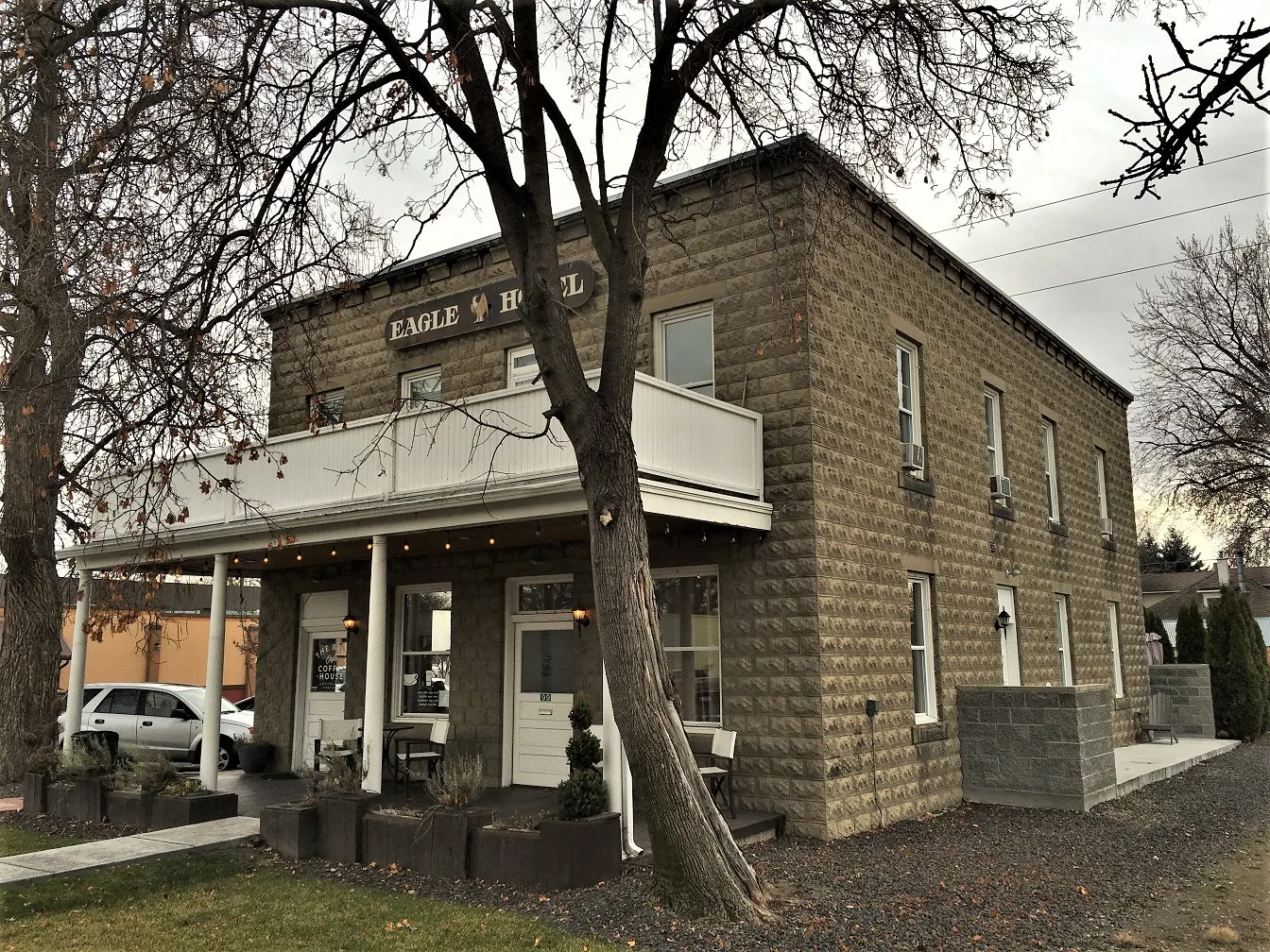
Money transfer services
Pharmacies
Frame shops
Secondhand stores
Restaurants
Cafes
Hair salons
Vape shops
Artworks
Fast food restaurants
Massage therapy clinics
Post offices
Clinics
Streets nearby
South Wildflower Lane250 ft
East Watercress Lane300 ft
South Young Lane500 ft
East Connemara Lane0.1 mi
East Civic Lane0.1 mi
South Finn Street0.1 mi
East Presidio Lane0.1 mi
East Lombard Lane0.1 mi
South Finn Lane0.1 mi
East Cedar Ridge StreetThe UPS Store, Mongolian of Eagle
0.2 mi
South City Lights Lane0.2 mi
East Plaza Drive0.2 mi
East Sawyer Gold Lane0.2 mi
North Palmetto Avenue0.2 mi
East Shadow Creek Lane0.2 mi
East Amanita Street0.2 mi
East Spartan Street0.2 mi
East Cembra Street0.3 mi
North Moraine Avenue0.3 mi
South Palmetto Avenue0.3 mi
East Highway 44Eagle ATA Martial Arts Center
0.3 mi
East Winding Creek Drive0.3 mi
East Star Pine Lane0.4 mi
South Fitness Place0.4 mi
North Shady Tree Lane0.4 mi
East Hill RoadCoffee and Supply Co
0.4 mi
North Huntsman Lane0.4 mi
South Golden Eagle Lane0.4 mi
Banks nearby
Idaho Central Credit Union0.2 mi
First Interstate Bank0.4 mi
Buildings nearby
Eagle Executive Suites0.2 mi
Kittyhawk Center0.2 mi
Commercial areas nearby
Eagle Professional Plaza150 ft
Eagle Center350 ft
Kittyhawk Plaza0.2 mi
Rocky Mountain Business Park0.3 mi
Construction sites nearby
Molinari Park0.2 mi
Convenience stores nearby
On the Fly550 ft
Fast food restaurants nearby
Domino's550 ft
Gas stations nearby
76500 ft
Hardware stores nearby
B's Ace Hardware0.2 mi
Libraries nearby
Eagle Public Library0.1 mi
Office buildings nearby
Iron Eagle Financial Center0.4 mi
Places of worship nearby
Creekside Bible Church0.2 mi
Post offices nearby
Eagle Post Office0.2 mi
Residential areas nearby
Eagle Meadows150 ft
Rock Pointe0.2 mi
Winding Creek0.3 mi
Town halls nearby
Eagle City Hall0.2 mi
 Public transit map Eagle Legend
| Railway | |
| Bus | |
| Streetcar |
 Bicycle map Eagle Legend
| Bike path | |
| Bike lane on roadway | |
| Cycling allowed on bus lane | |
| Bicycle street | |
| Open to cyclists | |
| Open to cyclists, good path | |
| Cycling prohibited | |
| Cobblestone |
| Long-distance bike route | (depending on scale) | |
| Long-distance bike route |
 Pedestrian map Eagle Legend
| Path |
| Long-distance hiking trail | (depending on scale) | |
| Long-distance hiking trail | ||
| Pedestrians prohibited |