
South Neskowin Way in Eagle, Idaho
South Neskowin Way in Eagle is an asphalted residential street. It runs in a northeast-southwest direction starting from South Kestrel Place and ends at South Kestrel Place.
- Road Type
- residential street
- Route
- northeast-southwest
Image
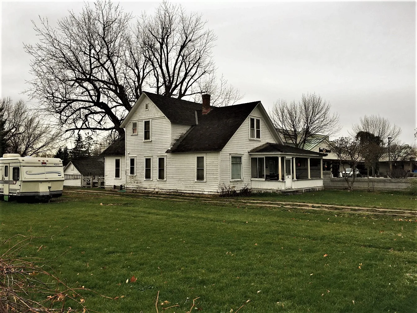
Money transfer services
Fast food restaurants
Post offices
Clinics
Restaurants
Cafes
Massage therapy clinics
Vape shops
Artworks
Pharmacies
Hair salons
Secondhand stores
Frame shops
Streets nearby
South Kestrel Place450 ft
South Olde Park Place0.1 mi
West Aikens Road0.1 mi
South Harlan Place0.1 mi
West Highway 440.2 mi
West State StreetCasa Mexico, 44 Fruit And Veg
0.2 mi
West Konavle Court0.2 mi
East Highway 44Eagle ATA Martial Arts Center
0.2 mi
East Plaza StreetStarbucks, Rice Contemporary Asian Cuisine, Papa Murphy's, Supercuts, Alchemist Coffee
0.2 mi
South Eagle RoadAspens & Pines along the Boise River, The Rope Swing, Takunekka, Fly Cycles, Fiesta Guadalajara, Star Nails and Spa, The Studio Salon and Spa, Treasure Valley Vapors, The Final Cast, Radiate Positivity
0.2 mi
South Cobblestone WayRib Shack
0.2 mi
East Aikens Road0.2 mi
West Bosanka Drive0.2 mi
South 1st Street0.2 mi
South Sophie Place0.2 mi
North Olde Park Place0.3 mi
North 1st Street0.3 mi
East Idaho Street0.3 mi
North Eagle Glen Lane0.3 mi
North Story Book Way0.3 mi
Banks nearby
Wells Fargo0.2 mi
U.S. Bank0.2 mi
Chase0.2 mi
Buildings nearby
Joe's Appliance Repair450 ft
Farmers Insurance0.2 mi
Cafes nearby
Rembrandts0.1 mi
Canals nearby
Ballentine Canal0.1 mi
Construction sites nearby
Aiken Plaza Condominiums0.2 mi
Convenience stores nearby
Jacksons0.2 mi
Drugstores nearby
Walgreens400 ft
Fast food restaurants nearby
McDonald's0.1 mi
Gas stations nearby
Sinclair0.2 mi
Shell0.2 mi
Places of worship nearby
Eagle Seventh-day Adventist Church0.3 mi
Residential areas nearby
Kestrel Cove500 ft
Eagle West0.1 mi
Bosanka Village0.2 mi
Eagle Glen Townhouses0.2 mi
Mission0.3 mi
Restaurants nearby
Flying Pie PIzza0.2 mi
Cafe Rio0.2 mi
Bodacious Pig Barbecue0.2 mi
Smoky Mountain Pizzeria Grill0.2 mi
Old State Saloon0.2 mi
Davinci's Italian Restaurant0.2 mi
Retail areas nearby
Eagle Pavilion0.1 mi
Eagle Plaza0.1 mi
Jackson Square0.2 mi
Supermarkets nearby
Albertsons0.2 mi
 Public transit map Eagle Legend
| Railway | |
| Bus | |
| Streetcar |
 Bicycle map Eagle Legend
| Bike path | |
| Bike lane on roadway | |
| Cycling allowed on bus lane | |
| Bicycle street | |
| Open to cyclists | |
| Open to cyclists, good path | |
| Cycling prohibited | |
| Cobblestone |
| Long-distance bike route | (depending on scale) | |
| Long-distance bike route |
 Pedestrian map Eagle Legend
| Path |
| Long-distance hiking trail | (depending on scale) | |
| Long-distance hiking trail | ||
| Pedestrians prohibited |