
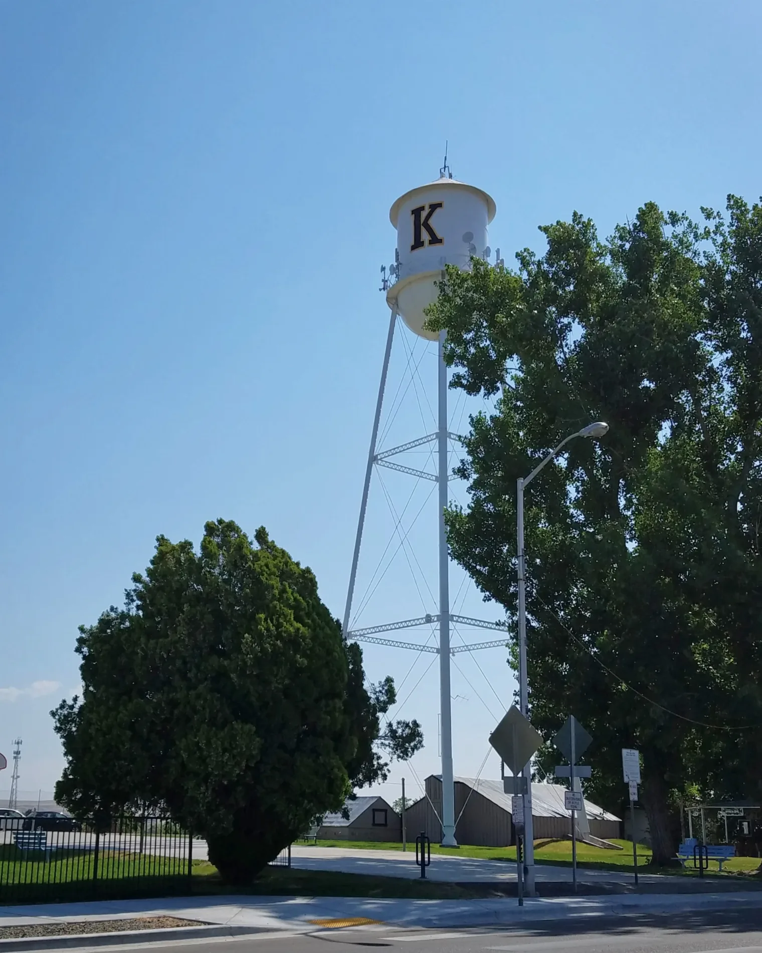
East Avalon Street in Kuna, Idaho
East Avalon Street in Kuna is a two-lane, asphalted secondary road. It runs in an east-west direction starting from North Linder Avenue and crosses South Swan Falls Road, North Orchard Avenue, South Orchard Avenue, South Blue Diamond Lane, North Kay Avenue and South Kay Avenue and ends at East Kuna Road. This street is part of the highway "69". Nearby you can find among others 2 restaurants, a farm store, a veterinary clinic and a fast food restaurant.
- Road Type
- secondary road
- Lanes
- 2
- Speed Limit
- 25 mph
- Route
- east-west
Image
Clinics
Restaurants
Fast food restaurants
Door stores
Streets nearby
East Morris Court200 ft
East 2nd StreetKuna's Book Habit
400 ft
North Linder Avenue0.1 mi
West 2nd StreetKuna Grange
0.1 mi
East 3rd Street0.2 mi
South Swan Falls Road0.2 mi
West Main StreetRiceWorks Sushi & Asioan Street Food, U.S. Bank, Color Me Green Salon, Big Mic's Saloon, Red Eye Saloon, Grandpa's Attic, The Longhorn Lounge, Maria Bonita Bakery, Kuna History Center, Equipment Service Professionals Inc., Black Canyon Gourmet Popcorn, Fat Kid Cake Company, LibertyX Bitcoin ATM
0.2 mi
South Orchard Avenue0.2 mi
North Orchard Avenue0.2 mi
North Cleveland Avenue0.2 mi
Indian Creek PathwayEnrique's Mexican Restaurant
0.2 mi
North Shady Grove Place0.2 mi
South Blue Diamond LaneAvalon Dental
0.3 mi
East Stagecoach Way0.3 mi
South Bobby Way0.3 mi
West Willow Dale Drive0.4 mi
West Sera Sole Court0.4 mi
East Wythe Creek Court0.4 mi
South Best Business Avenue0.5 mi
East Access Street0.5 mi
Shops nearby
Kuna Machine Fabrication Repair0.2 mi
Auto parts stores nearby
AutoZone0.2 mi
NAPA Auto Parts0.2 mi
Auto repair shops nearby
Lube 'n Go0.3 mi
Buildings nearby
Farm Bureau Insurance0.1 mi
Canals nearby
Teed Lateral0.3 mi
South Railroad Lateral0.3 mi
Car dealerships nearby
All Day Motors0.1 mi
Car washes nearby
Route 69 Car Wash0.2 mi
Uptown Car Wash0.2 mi
Commercial areas nearby
Cement Falls Park0.4 mi
Construction sites nearby
Sera Sole0.3 mi
Doctor's offices nearby
Saint Alphonsus0.4 mi
Fast food restaurants nearby
Arctic Circle0.4 mi
Hair salons nearby
Dapper Dan's Barbershop0.1 mi
Interior decorators nearby
Wildflower Boutique0.2 mi
Kindergartens nearby
Sunshine Preschool & Private Kindergarten0.2 mi
Parks nearby
Bernie Fisher Park0.1 mi
Places of worship nearby
The Church of Jesus Christ of Latter-day Saints200 ft
Post offices nearby
Kuna Main Post Office0.4 mi
Railways nearby
UP Nampa Subdivision0.1 mi
Union Pacific Railroad0.1 mi
Kuna Siding0.3 mi
Residential areas nearby
Indian Creek400 ft
Swan Falls Mobile Home Community0.2 mi
Shady Grove0.2 mi
Kings Mobile Home Park0.2 mi
Blue Sky0.3 mi
Variety stores nearby
Family Dollar0.1 mi
 Public transit map Kuna Legend
| Railway | |
| Bus | |
| Streetcar |
 Bicycle map Kuna Legend
| Bike path | |
| Bike lane on roadway | |
| Cycling allowed on bus lane | |
| Bicycle street | |
| Open to cyclists | |
| Open to cyclists, good path | |
| Cycling prohibited | |
| Cobblestone |
| Long-distance bike route | (depending on scale) | |
| Long-distance bike route |
 Pedestrian map Kuna Legend
| Path |
| Long-distance hiking trail | (depending on scale) | |
| Long-distance hiking trail | ||
| Pedestrians prohibited |