
North Cleveland Avenue in Kuna, Idaho
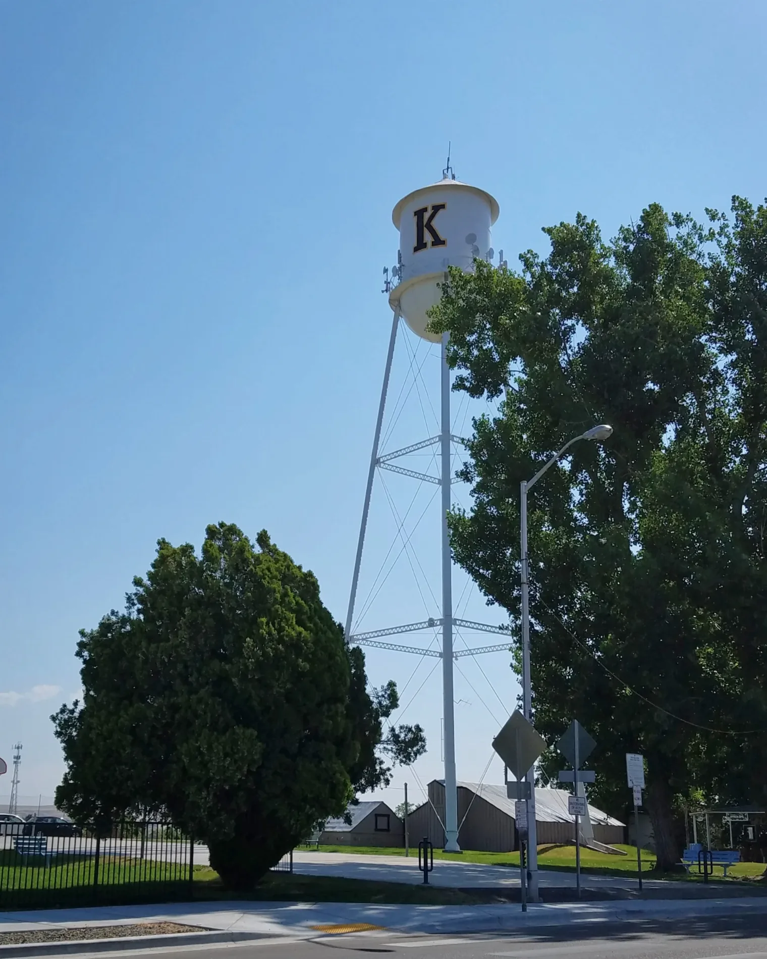
North Cleveland Avenue in Kuna is an asphalted residential street. It runs in a north-south direction starting from East 4th Street and ends at East 3rd Street.
- Road Type
- residential street
- Route
- north-south
Image
Bookstores
Community centers
Museums
- Kuna History Center (Web) at West Main Street 329 (83634) – approx. 0.2 mi.
Candy stores
Antique stores
Banks
Payment terminals
Restaurants
Laundries
Door stores
Pharmacies
ATMs
Bakeries
Veterinary clinics
Farm stores
Beauty salons
Hair salons
Gas stations
Streets nearby
East 3rd Street500 ft
North Shady Grove Place0.1 mi
West Main StreetRiceWorks Sushi & Asioan Street Food, U.S. Bank, Color Me Green Salon, Big Mic's Saloon, Red Eye Saloon, Grandpa's Attic, The Longhorn Lounge, Maria Bonita Bakery, Kuna History Center, Equipment Service Professionals Inc., Black Canyon Gourmet Popcorn, Fat Kid Cake Company, LibertyX Bitcoin ATM
0.1 mi
North Tailwater Lane0.1 mi
West Flyline Lane0.1 mi
North Avenue A0.1 mi
East 2nd StreetKuna's Book Habit
0.1 mi
North Linder Avenue0.1 mi
North Shady Grove Way0.2 mi
West Linke Court0.2 mi
East 4th Street0.2 mi
West 2nd StreetKuna Grange
0.2 mi
North Katie Way0.2 mi
East Epson Street0.2 mi
East Avalon StreetProduce Tent, Tasty Thai, Pet Care Clinic-Kuna, Small Wonders Daycare & Preschool, Subway, Fiesta Guadalajara, Albertsons, Family Medicine Health Center, Dynamic Doors
0.2 mi
North Orchard Avenue0.2 mi
East Daniel Court0.2 mi
North Katsura Avenue0.2 mi
East Morris Court0.3 mi
North Sourwood Avenue0.3 mi
East Rosemary Court0.3 mi
East Boise Street0.3 mi
East Easy Street0.3 mi
South Orchard Avenue0.3 mi
Auto parts stores nearby
AutoZone0.3 mi
Buildings nearby
Farm Bureau Insurance550 ft
Canals nearby
Teed Lateral300 ft
Car dealerships nearby
All Day Motors0.1 mi
Car washes nearby
Route 69 Car Wash0.1 mi
Uptown Car Wash0.3 mi
Hair salons nearby
Dapper Dan's Barbershop0.1 mi
Interior decorators nearby
Wildflower Boutique0.1 mi
Kindergartens nearby
Sunshine Preschool & Private Kindergarten450 ft
Parks nearby
Bernie Fisher Park0.2 mi
Places of worship nearby
The Church of Jesus Christ of Latter-day Saints0.2 mi
Residential areas nearby
Kings Mobile Home Park150 ft
Bell Court Mobile Home Park400 ft
Smith Addition400 ft
Shady Grove450 ft
Linder Apartments0.1 mi
Linke Court0.1 mi
Leisure Village0.1 mi
Letha's0.1 mi
Avalon Addition0.1 mi
Kuna Valley Run Apartments0.2 mi
Spice Wood0.2 mi
Raasch Farms0.2 mi
Blue Sky0.2 mi
Variety stores nearby
Family Dollar0.3 mi
 Public transit map Kuna Legend
| Railway | |
| Bus | |
| Streetcar |
 Bicycle map Kuna Legend
| Bike path | |
| Bike lane on roadway | |
| Cycling allowed on bus lane | |
| Bicycle street | |
| Open to cyclists | |
| Open to cyclists, good path | |
| Cycling prohibited | |
| Cobblestone |
| Long-distance bike route | (depending on scale) | |
| Long-distance bike route |
 Pedestrian map Kuna Legend
| Path |
| Long-distance hiking trail | (depending on scale) | |
| Long-distance hiking trail | ||
| Pedestrians prohibited |