
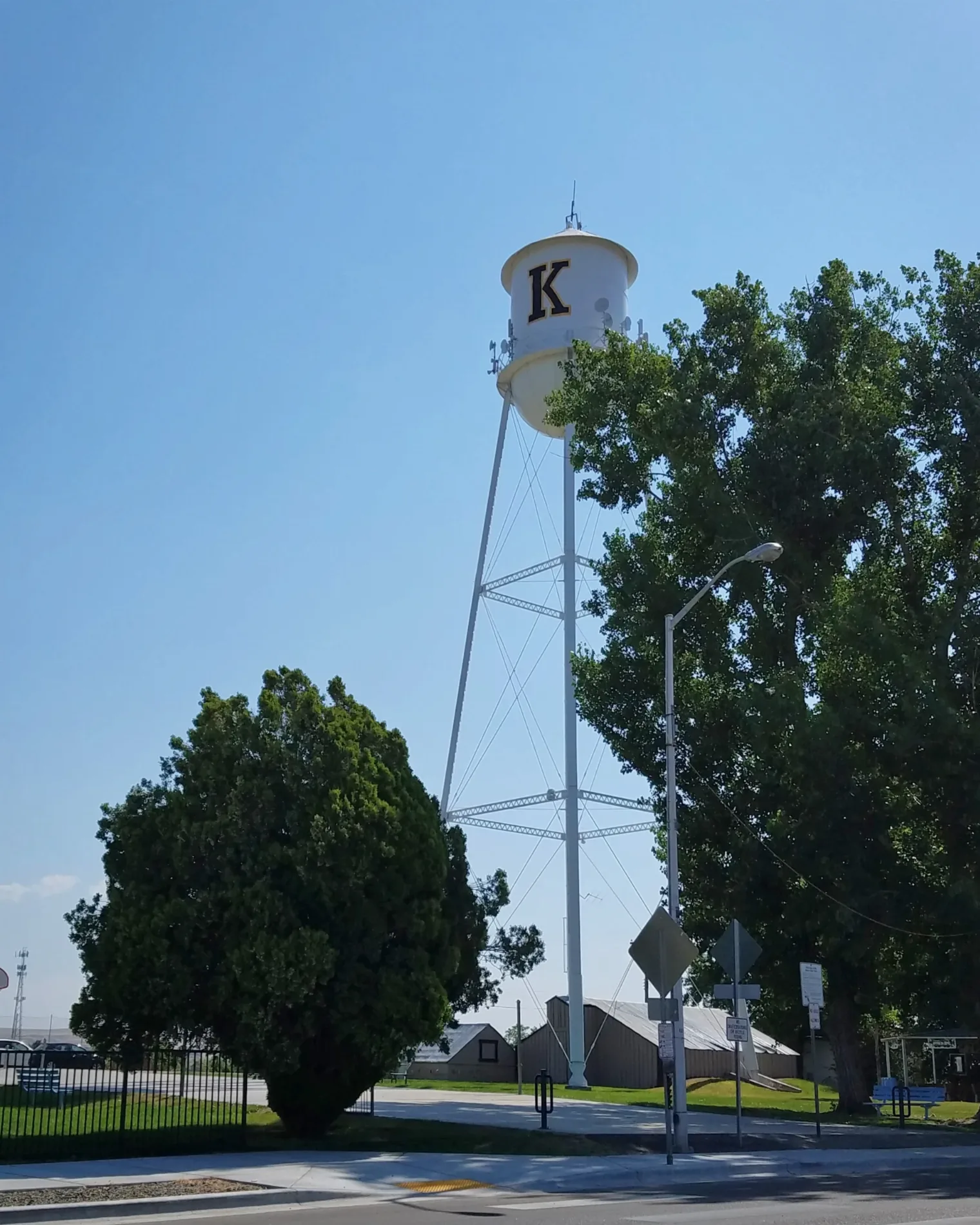
North Shady Grove Way in Kuna, Idaho
North Shady Grove Way in Kuna is an asphalted residential street. It runs in a north-south direction and crosses East Boise Street and East 4th Street and ends at North Shady Grove Place, while the other end is a cul-de-sac.
- Road Type
- residential street
- Route
- north-south
Image
Dentist offices
Opticians
Community centers
Museums
- Kuna History Center (Web) at West Main Street 329 (83634) – approx. 0.4 mi.
Laundries
Money transfer services
Gas stations
Restaurants
ATMs
Farm stores
Pharmacies
Supermarkets
Beauty salons
Bakeries
Bookstores
Veterinary clinics
Candy stores
Payment terminals
Antique stores
Streets nearby
North Katie Way300 ft
East Boise Street0.1 mi
East Daniel Court0.1 mi
North Linder Avenue0.1 mi
East Rosemary Court0.1 mi
North Orchard Avenue0.1 mi
East Epson Street0.1 mi
West Linke Court0.1 mi
North Shady Grove Place0.2 mi
North Katsura Avenue0.2 mi
East 4th Street0.2 mi
North Quarter Moon Avenue0.2 mi
West Flyline Lane0.2 mi
North Tailwater Lane0.2 mi
West Boise Street0.2 mi
East Rosemary Street0.2 mi
East Full Moon Street0.2 mi
East Kenter Street0.2 mi
North Sourwood Avenue0.2 mi
North Luna Place0.2 mi
North White Barn Road0.2 mi
North Cleveland Avenue0.3 mi
East Keswick Court0.3 mi
North Moonglow Avenue0.3 mi
East Porter Street0.3 mi
North Linder RoadKuna Smiles, Eyecare Associates of Kuna, Kuna Healthcare & Mud Spa, Moxie Java, The UPS Store, Idaho Wellness Psychiatry, Western Union
0.3 mi
East Ivy Glade Street0.4 mi
Canals nearby
Teed Lateral0.1 mi
Dentist's offices nearby
Kuna Orthodontics0.3 mi
Kuna Dental0.3 mi
Fire stations nearby
Kuna Fire Station No.10.2 mi
Places of worship nearby
Kuna Seventh-day Adventist Church0.2 mi
Residential areas nearby
Spice Wood350 ft
Kuna Valley Run Apartments350 ft
Leisure Village0.1 mi
Linke Court0.1 mi
Kings Mobile Home Park0.1 mi
Avalon Addition0.2 mi
Smith Addition0.2 mi
Bell Court Mobile Home Park0.2 mi
Shady Grove0.2 mi
Raasch Farms0.2 mi
Linder Apartments0.2 mi
Michael's Landing0.3 mi
Sam's Estates0.3 mi
Parkland Estates0.3 mi
Calico Creek0.4 mi
The Farm0.4 mi
School buildings nearby
Teed Elementary School0.3 mi
 Public transit map Kuna Legend
| Railway | |
| Bus | |
| Streetcar |
 Bicycle map Kuna Legend
| Bike path | |
| Bike lane on roadway | |
| Cycling allowed on bus lane | |
| Bicycle street | |
| Open to cyclists | |
| Open to cyclists, good path | |
| Cycling prohibited | |
| Cobblestone |
| Long-distance bike route | (depending on scale) | |
| Long-distance bike route |
 Pedestrian map Kuna Legend
| Path |
| Long-distance hiking trail | (depending on scale) | |
| Long-distance hiking trail | ||
| Pedestrians prohibited |