
Fort Hall, Idaho
Fort Hall is located in Bannock County. About 3,195 people live here (as of 2020). Between 2010 and 2020, the population declined from 3,201 to 3,195. The region is at 1354 meters above sea level. The area covers about 90.9 square kilometers. There are about 507 streets in Fort Hall. The ZIP codes are 83203. The dialing code is 208. Fort Hall is census-designated place in Bannok and Bingham counties in Idaho, United States.
Fort Hall – Facts
| Population | 3195 |
|---|---|
| Area | 90.9 km² |
| Elevation | 1354 m |
| Located in | Bannock County, Bingham County |
| Postal code | 83203 |
| Country | United States |
| Official name | Fort Hall |
Data source: Wikidata (CC0)
Photos from Fort Hall
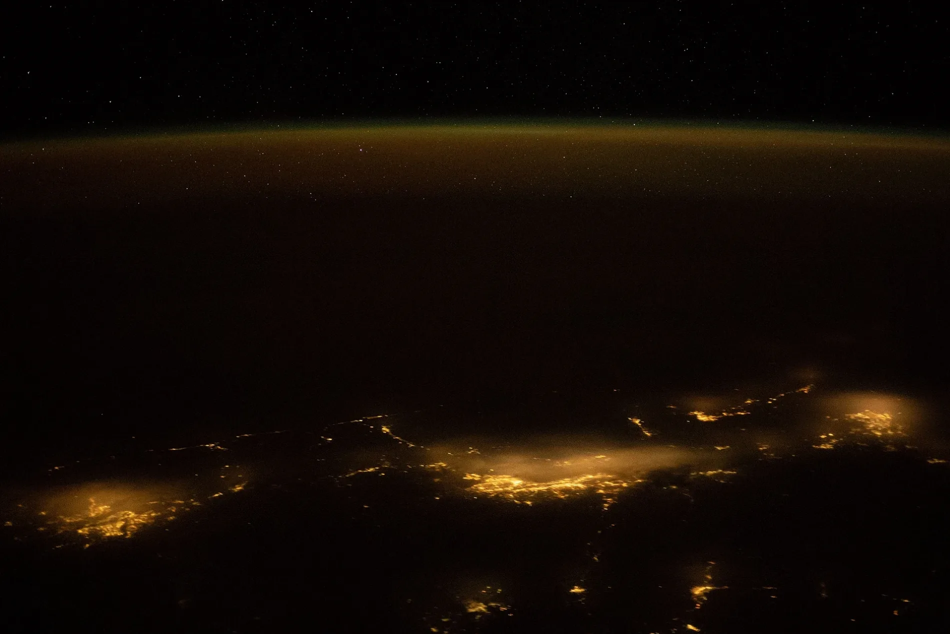
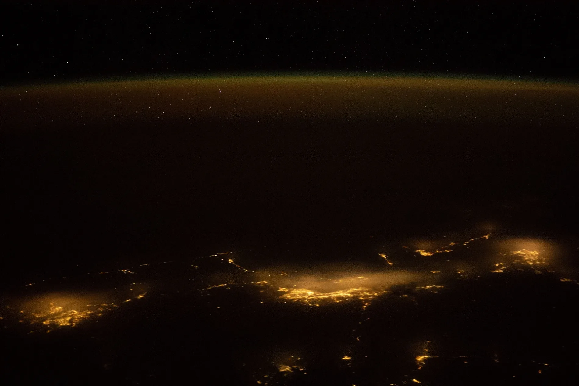
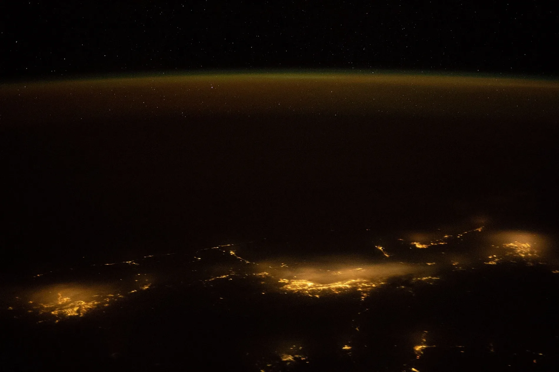
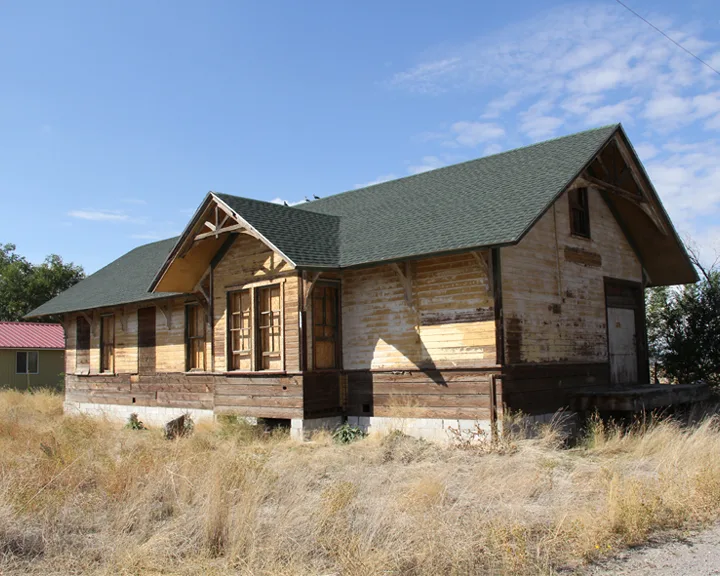
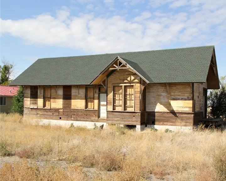
Streets in Fort Hall, Idaho
Streets
Philbin Road
Siler Road
Pokibro Road
East Agency Road
Buckskin Circle
South Mission Road
South Hiline Road
Cemetery Road
Shoshone Drive
Ross Fork Court
Boarding School Lane
A Avenue
6th Street
Cedar Butte Road
Wardance Circle
Edmo Road
North Hawthorne Road
North Eagle Road
Scobey Lane
D Avenue
South Hawthorne Road
South Eagle Extension
West Sheepskin Road
Arimo Street
3rd Street
Lodge Loop
Cutshalts Road
K&S Farms
4th Street
1st Street
Morgan Lane
Rio Vista Road
Ross Fork Road
Mission Extension
Bannock Road
Hiline Road
Ballard Road
Reservation Road
Joseph Street
North Mission Road
South Siler Road
Bannock Avenue
West Agency Road
Burns RoadCanals
Bell Sublateral
Gunn Sublateral
Townsend Sublateral
Top Sublateral
Phyllis Sublateral
Plank Sublateral
Turner Sublateral
Boise - Payette Lateral
Teak Sublateral
Agency Sublateral
Old Lateral
Hart Lateral
Indian Lateral
Panther Sublateral
Marlow Lateral
Pansey Sublateral
Pampas Sublateral
Buck Sublateral
Pine Lateral
Big Elk Sublateral
Ranch Sublateral
Trego Sublateral
Reider Sublateral
Jay Lateral
Facer Sublateral
Casinos
Cemeteries
Community centers
Disused railways
Fitness centers
Gas stations
Railways
Residential areas
Supermarkets
Public transit map Fort Hall Legend
| Railway | |
| Bus | |
| Streetcar |
Bicycle map Fort Hall Legend
| Bike path | |
| Bike lane on roadway | |
| Cycling allowed on bus lane | |
| Bicycle street | |
| Open to cyclists | |
| Open to cyclists, good path | |
| Cycling prohibited | |
| Cobblestone |
| Long-distance bike route | (depending on scale) | |
| Long-distance bike route |
Pedestrian map Fort Hall Legend
| Path |
| Long-distance hiking trail | (depending on scale) | |
| Long-distance hiking trail | ||
| Pedestrians prohibited |