
North Mission Road in Fort Hall, Idaho
North Mission Road in Fort Hall is a local road. It runs in a north-south direction starting from West Agency Road and crosses Warbonnet Road and West Ross Fork Road and ends at South Mission Road.
- Road Type
- local road
- Route
- north-south
Image
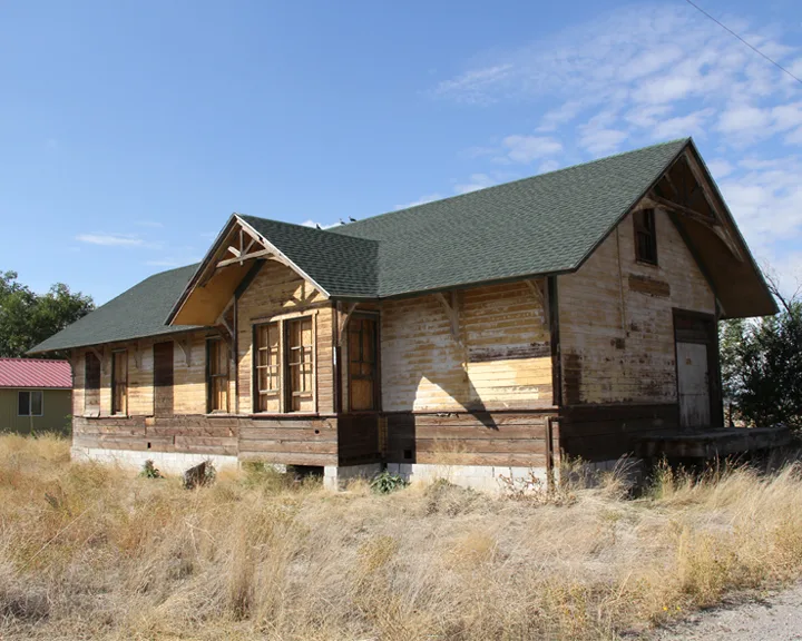
Hofläden
Streets nearby
Joseph Street300 ft
Arimo Street550 ft
Sundance Street0.1 mi
Putnam Avenue0.2 mi
Shoshone Drive0.2 mi
Osage Avenue0.2 mi
Veteran Trail0.3 mi
Serenity Place0.3 mi
Navajo Drive0.3 mi
Warbonnet Road0.3 mi
West Agency Road0.3 mi
Wardance Circle0.3 mi
Yakima Avenue0.3 mi
Lodge Pine Street0.4 mi
West Ross Fork Road0.4 mi
Bannock Avenue0.4 mi
Pima Drive0.4 mi
Tendoy Street0.4 mi
Washakie Street0.4 mi
North Hiline Road0.5 mi
North Eagle Road0.5 mi
Hiline Road0.5 mi
Widowville Road0.5 mi
1st Street0.6 mi
2nd Street0.6 mi
North Treaty HighwayGibson
0.6 mi
4th Street0.7 mi
B AvenueFort Hall
0.7 mi
A Avenue0.7 mi
C Avenue0.7 mi
3rd Street0.7 mi
Amenities nearby
Shoshone-Bannock Early Childhood Center0.3 mi
Buildings nearby
Indian Health Services300 ft
Tribal Justice Center0.2 mi
Fort Hall Business Council0.3 mi
Bureau of Indian Affairs: Fort Hall Irrigation Project0.4 mi
Bureau of Indian Affairs0.4 mi
Canals nearby
Town Lateral0.1 mi
Agency Sublateral0.3 mi
Barnett Sublateral0.6 mi
Teak Sublateral0.6 mi
Cemeteries nearby
Good Shepherd Cemetery500 ft
Community centers nearby
Shoshone-Bannock Festival Grounds0.5 mi
Convenience stores nearby
Blue Corner Store0.5 mi
Fitness centers nearby
Timbee Hall Gym0.4 mi
Office buildings nearby
Shoshone-Bannock Fisheries Department0.3 mi
Places of worship nearby
Church of the Good Shepherd0.1 mi
Railways nearby
Montana Subdivision0.6 mi
Residential areas nearby
Fort Hall Housing0.5 mi
Public transit map Fort Hall Legend
| Railway | |
| Bus | |
| Streetcar |
Bicycle map Fort Hall Legend
| Bike path | |
| Bike lane on roadway | |
| Cycling allowed on bus lane | |
| Bicycle street | |
| Open to cyclists | |
| Open to cyclists, good path | |
| Cycling prohibited | |
| Cobblestone |
| Long-distance bike route | (depending on scale) | |
| Long-distance bike route |
Pedestrian map Fort Hall Legend
| Path |
| Long-distance hiking trail | (depending on scale) | |
| Long-distance hiking trail | ||
| Pedestrians prohibited |