
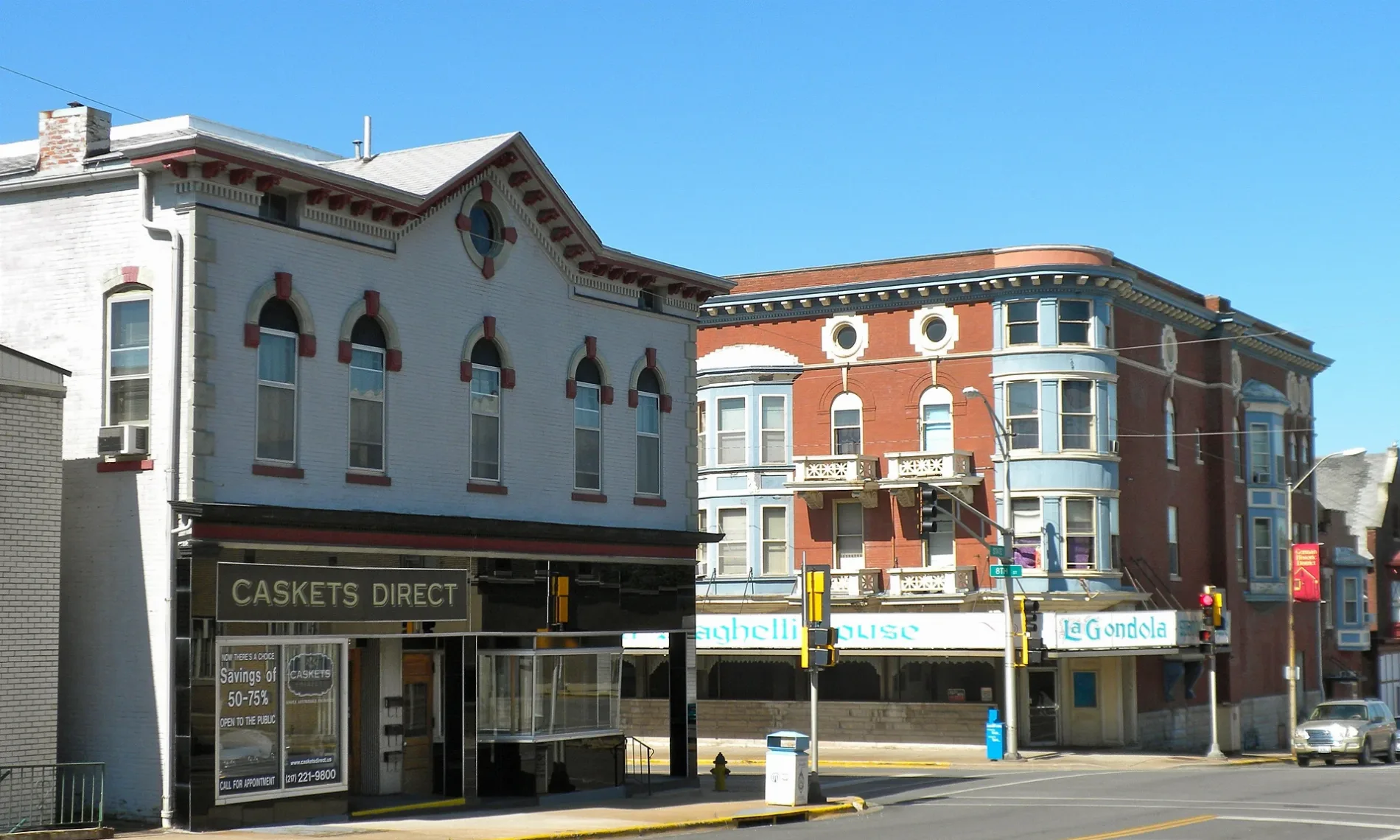
South 7th Street in Quincy, Illinois
South 7th Street in Quincy is a concrete residential street. The street has sidewalks. It runs in a north-south direction starting from North 7th Street and crosses Maine Street, Jersey Street, York Street, Kentucky Street, State Street, Ohio Street, Payson Avenue, Fasthoff Alley, Washington Street, Jefferson Street and Madison Street. It ends in a cul-de-sac.
- Road Type
- residential street
- Route
- north-south
Image
Schools
Bars
Museums
Gift shops
Places of worship
Tea shops
Hotels
Clothing stores
Restaurants
Jewelry stores
Cafes
Streets nearby
Fasthoff AlleyEmerson School
500 ft
South 8th Street0.1 mi
South 9th StreetIrving Elementary School, Salem Evangelical United Church of Christ
0.2 mi
Milliners Alley0.2 mi
South 10th StreetVineyard Christian Fellowship Church
0.3 mi
South 5th Street0.3 mi
Milliner Alley0.3 mi
Payson AvenuePayson Avenue Community Church
0.3 mi
Sourth 11th StreetUnion United Methodist Church
0.3 mi
South 4th Street0.3 mi
Kentucky Street0.3 mi
South 6th Street0.4 mi
York Street0.4 mi
Delaware Street0.4 mi
Gardner Expressway0.4 mi
Ohio0.4 mi
Maiden Lane0.4 mi
Jefferson StreetBethel Assembly of God Church, Saint James Lutheran Church, Belchers
0.4 mi
Jersey StreetMicrotel Inn & Suites by Wyndham Quincy
0.5 mi
Civic Center Plaza0.5 mi
State StreetCalvary Baptist Church, TCBY
0.5 mi
South 3rd Street0.6 mi
North 8th StreetFirst Baptist Church
0.6 mi
Jail AlleyThe Fuzzy Bubbler
0.6 mi
Maine StreetFirst Christian Church, The Maine Course, for home & her, Dame Hurdle & company, Broadway Nutrition, Charlie Ann's Boutique, Quincy National Cemetery, History Museum on the Square, Budget Host Inn Quincy
0.6 mi
North 4th StreetRevelry, Quincy
0.6 mi
Attractions nearby
Villa Kathrine0.5 mi
Buildings nearby
Early Childhood Center0.3 mi
Oakley Lindsay Center0.4 mi
Quality Inn and Suites Quincy0.5 mi
The Atrium on Third0.5 mi
Quincy City Hall0.5 mi
The Herald-Whig0.5 mi
Quincy Axe Company0.6 mi
Popp'n on Maine0.6 mi
Maine Center0.6 mi
Quincy Brewing Company0.6 mi
Event venues nearby
One: Special Event Venue0.6 mi
Grasslands nearby
Quincy Montessori School0.3 mi
Hair salons nearby
Gold Line Barbershop0.5 mi
Crush Salon0.6 mi
Hotels nearby
Eagle's Nest Hotel & Conference Center0.5 mi
Parks nearby
Salem Church Park0.2 mi
Villa Kathrine Park0.5 mi
Washington Park0.6 mi
Restaurants nearby
The Patio0.6 mi
8te Open0.6 mi
Schools nearby
Saint Marys School0.4 mi
Shelters nearby
Salem Church Gazebo0.2 mi
Public transit map Quincy Legend
| Railway | |
| Bus | |
| Streetcar |
Bicycle map Quincy Legend
| Bike path | |
| Bike lane on roadway | |
| Cycling allowed on bus lane | |
| Bicycle street | |
| Open to cyclists | |
| Open to cyclists, good path | |
| Cycling prohibited | |
| Cobblestone |
| Long-distance bike route | (depending on scale) | |
| Long-distance bike route |
Pedestrian map Quincy Legend
| Path |
| Long-distance hiking trail | (depending on scale) | |
| Long-distance hiking trail | ||
| Pedestrians prohibited |