
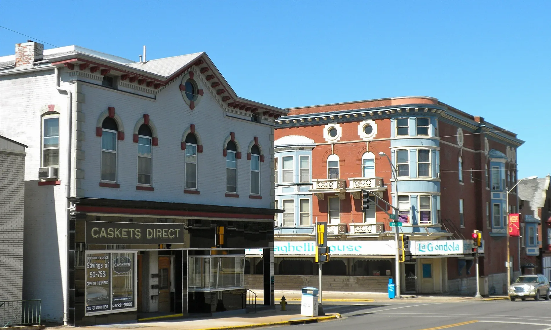
South 8th Street in Quincy, Illinois
South 8th Street in Quincy is a two-lane, asphalted local road. It runs in a north-south direction starting from North 8th Street and crosses Maine Street, Jersey Street, York Street, Kentucky Street, State Street, Ohio Street, Payson Avenue, Fasthoff Alley, Washington Street, Jefferson Street and Madison Street. It ends in a cul-de-sac. South 8th Street also exists in Cook County, Ogle County, Kane County, Hancock County and Mercer County.
- Road Type
- local road
- Lanes
- 2
- Route
- north-south
Image
Schools
Bars
Tea shops
Hotels
Places of worship
Clothing stores
Restaurants
Jewelry stores
Museums
- History Museum on the Square (Historical Society of Quincy and Adams County, opening hours: Tue–Sat 10–16, Web) at Maine Street 332 (62301) – approx. 0.7 mi.
Streets nearby
Fasthoff AlleyEmerson School
300 ft
South 7th Street0.1 mi
South 10th StreetVineyard Christian Fellowship Church
0.2 mi
Sourth 11th StreetUnion United Methodist Church
0.3 mi
Milliners Alley0.3 mi
Adams Street0.4 mi
Payson AvenuePayson Avenue Community Church
0.4 mi
South 12th StreetLuther Memorial Lutheran Church
0.4 mi
Milliner Alley0.4 mi
South 13th Street0.4 mi
South 5th Street0.5 mi
South 4th Street0.5 mi
Gardner Expressway0.5 mi
Delaware Street0.5 mi
Kentucky Street0.5 mi
York Street0.5 mi
South 6th Street0.5 mi
Jefferson StreetBethel Assembly of God Church, Saint James Lutheran Church, Belchers
0.5 mi
Ohio0.5 mi
Maiden Lane0.5 mi
Van Buren Street0.5 mi
Washington StreetRiver of Life Christian Center
0.5 mi
State StreetCalvary Baptist Church, TCBY
0.6 mi
South 2nd Street0.6 mi
Civic Center Plaza0.6 mi
Harrison StreetParkview Church, First Southern Baptist Church
0.6 mi
Harrison Drive0.6 mi
R J Peters Drive0.7 mi
South 9th StreetIrving Elementary School, Salem Evangelical United Church of Christ
0.7 mi
Grant Drive0.7 mi
Wisherd Drive0.7 mi
South 1st Street0.8 mi
Attractions nearby
Villa Kathrine0.6 mi
Buildings nearby
Early Childhood Center0.4 mi
Governor John Wood Mansion0.5 mi
John Wood Log Cabin0.5 mi
Oakley Lindsay Center0.6 mi
South Side Boat Club0.6 mi
Cemeteries nearby
Woodland Cemetery0.6 mi
Grasslands nearby
Quincy Montessori School0.4 mi
Hotels nearby
Eagle's Nest Hotel & Conference Center0.6 mi
Parks nearby
Salem Church Park0.3 mi
Villa Kathrine Park0.6 mi
South Park0.6 mi
Places of worship nearby
Saint Marys Roman Catholic Church0.4 mi
Schools nearby
Saint Marys School0.3 mi
Berrian Elementary School0.5 mi
Quincy Notre Dame High School0.6 mi
Shelters nearby
Salem Church Gazebo0.3 mi
Public transit map Quincy Legend
| Railway | |
| Bus | |
| Streetcar |
Bicycle map Quincy Legend
| Bike path | |
| Bike lane on roadway | |
| Cycling allowed on bus lane | |
| Bicycle street | |
| Open to cyclists | |
| Open to cyclists, good path | |
| Cycling prohibited | |
| Cobblestone |
| Long-distance bike route | (depending on scale) | |
| Long-distance bike route |
Pedestrian map Quincy Legend
| Path |
| Long-distance hiking trail | (depending on scale) | |
| Long-distance hiking trail | ||
| Pedestrians prohibited |