
South Marshfield Avenue in Blue Island, Illinois
South Marshfield Avenue in Blue Island is a two-lane secondary road and it runs as a one-way street in a north-south direction. South Marshfield Avenue also exists in Calumet Township.
- Road Type
- secondary road
- Lanes
- 2
- Route
- north-south
Image
Places of worship
Stations
Bus stops
Vending machines
Cell phone stores
Streets nearby
West 123rd Street150 ft
West 122nd Place0.1 mi
West Asher Street0.1 mi
South Marshfield Avenue0.2 mi
West 122nd Street0.2 mi
South Ashland AvenueAshland Avenue, Metra
0.2 mi
West 121st Street0.2 mi
South Justine Street0.3 mi
South Laflin Street0.3 mi
West 125th Street0.3 mi
Paulina Street0.3 mi
Lincoln Street0.3 mi
Justine Street0.3 mi
124th Street124th Street & Racine, 124th Street & Throop, 124th Street & Aberdeen, 124th Street & Morgan, 124th Street & Halsted, 124th Street & Peoria
0.3 mi
South Bishop Street0.4 mi
West 120th StreetZion Missionary Baptist Church, House of Prayer Temple Church of God in Christ
0.4 mi
Division Street0.4 mi
South Paulina StreetCitgo
0.4 mi
Wood StreetWood & 127th Street, Wood & York, Wood & Oak/128th Street, Wood & Union
0.4 mi
126th Street0.4 mi
Laflin Street0.5 mi
Honore Street0.5 mi
West 119th Street119th Street & Marshfield, Citgo, Boost Mobile, Smoke Star
0.5 mi
South Wood Street0.5 mi
Marshfield AvenueAdvance Auto Parts, Rent-A-Center, Edible Arrangements, Walgreens, Cash America Pawn, Midwest Express Clinic Urgent Care
0.5 mi
South Page StreetSaint Isidore School, 119th Street & Page
0.5 mi
Winchester Avenue0.5 mi
West 127th StreetBurr Oak, Metra, 127th Street & Page, 127th Street & Bishop, 127th Street & Ashland, PLS
0.5 mi
Buildings nearby
Metra Laflin Street Substation0.2 mi
Community centers nearby
Calumet Township Community Center0.5 mi
Convenience stores nearby
Shell0.5 mi
GoLo0.5 mi
Mobil Mart0.5 mi
BP Shop0.6 mi
Fire stations nearby
Calumet Park Fire Department0.3 mi
Gas stations nearby
Marshfield Citgo0.5 mi
Mobil0.5 mi
Citgo0.5 mi
BP0.6 mi
Industrial buildings nearby
Calumet Park Public Works0.1 mi
Metra Burr Oak Yard0.5 mi
Parks nearby
Veterans Park0.2 mi
Places of worship nearby
Pioneer Baptist Church0.5 mi
Saint Isidore Roman Catholic Church0.6 mi
Railway areas nearby
CSX Burr Oak Yard0.4 mi
Railways nearby
Blue Island Sub District0.2 mi
Restaurants nearby
Chili's0.5 mi
Kenny's Ribs and Chicken0.6 mi
Train stations nearby
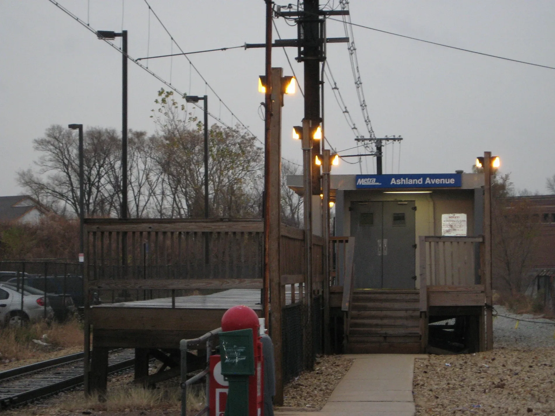
Ashland Metra Station0.1 mi
Variety stores nearby
Family Dollar0.5 mi
Public transit map Blue Island Legend
| Railway | |
| Bus | |
| Streetcar |
Bicycle map Blue Island Legend
| Bike path | |
| Bike lane on roadway | |
| Cycling allowed on bus lane | |
| Bicycle street | |
| Open to cyclists | |
| Open to cyclists, good path | |
| Cycling prohibited | |
| Cobblestone |
| Long-distance bike route | (depending on scale) | |
| Long-distance bike route |
Pedestrian map Blue Island Legend
| Path |
| Long-distance hiking trail | (depending on scale) | |
| Long-distance hiking trail | ||
| Pedestrians prohibited |