
Northwest 8th Street in Evansville, Indiana
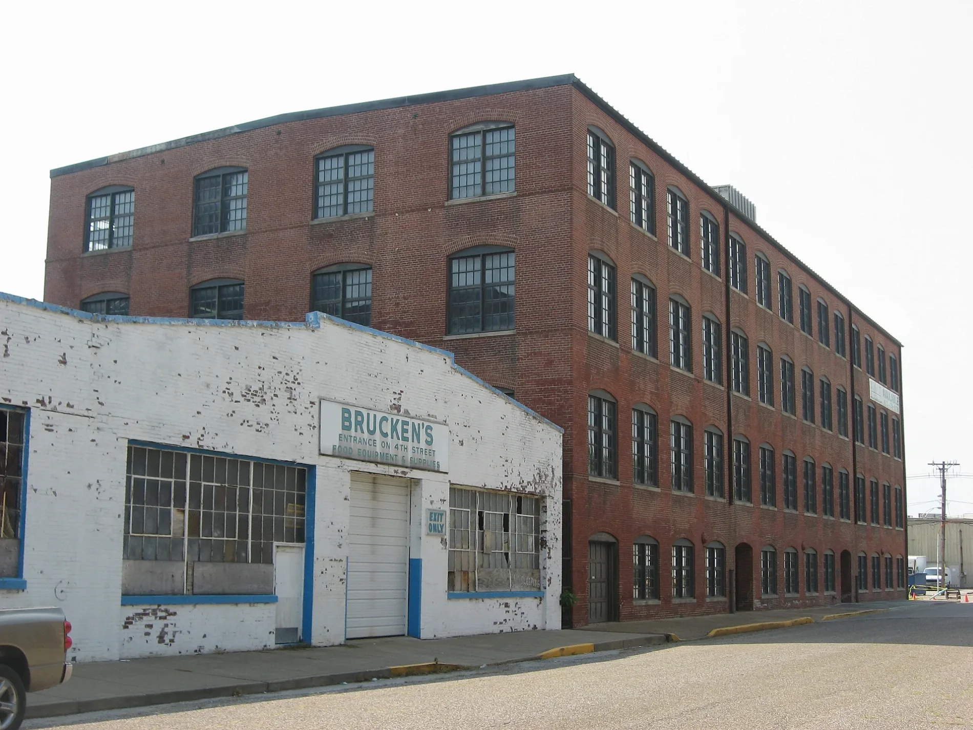
Northwest 8th Street in Evansville is a residential street. It runs in a southeast-northwest direction and crosses Court Street and ends at Vine Street, while the other end is a cul-de-sac. Northwest 8th Street also exists in Greene County, Daviess County and Wayne County.
- Road Type
- residential street
- Route
- southeast-northwest
Image
Post offices
Town halls
Ice cream shops
Tourist information centers
Mailboxes
Places of worship
Hotels
Restaurants
Bakeries
Hospitals
Schools
Banks
Theaters
Fast food restaurants
Cafes
Bars
Fire stations
Streets nearby
John Street300 ft
West Lloyd Expressway350 ft
Northwest Martin Luther King Jr Boulevard400 ft
Northwest 10th Street0.1 mi
Sycamore StreetMajor Munch, Fifth Third Bank, United States Post Office
0.1 mi
Northwest 6th StreetVictory Theatre
0.2 mi
Vine StreetThe Short Lived Canal
0.2 mi
Court Street0.2 mi
Northwest 9th Street0.2 mi
Mary Street0.2 mi
West Division StreetMcDonald's
0.2 mi
Main StreetOld National Bank, Peephole Bar and Grill, Piece of Cake, COMFORT, Signature School, Milanos Italian Cuisine, Gangnam Korean Cuisine
0.2 mi
Northwest 5th StreetLic's Deli & Ice Cream
0.2 mi
Read Street0.2 mi
Northwest 4th StreetWired Coffee House
0.2 mi
West Illinois StreetLeasing office, 5/3 ATM, Trinity Lutheran School
0.2 mi
West Indiana Street0.2 mi
Ingle Street0.2 mi
Garfield Avenue0.3 mi
Oakley Street0.3 mi
Harriet Street0.3 mi
West Franklin StreetSacred Heart School, Pizza King | Evansville, IN, Independence
0.3 mi
Pasco Avenue0.3 mi
North Main StreetDiLegge's Italian Cuisine
0.3 mi
East Sycamore Street0.3 mi
East Lloyd ExpresswayHarper Elementary and Junior High School
0.4 mi
West Michigan Street0.4 mi
East Franklin StreetCycology
0.4 mi
Edgar Street0.4 mi
North Heidelbach Avenue0.5 mi
West Virginia Street0.5 mi
West Iowa Street0.5 mi
East Virginia StreetSaint Joseph Catholic Church, Chipotle
0.5 mi
West Delaware StreetEvansville Travelodge, Wabash Station Post Office
0.5 mi
Bars nearby
The Rooftop0.1 mi
Birdies0.1 mi
Buildings nearby
The Foundry on Main0.3 mi
Candy stores nearby
Sweet Schmitt's Candy0.5 mi
Electronics stores nearby
Hutch and Son0.4 mi
Event venues nearby
Main Street Wedding and Event Venue0.4 mi
Industrial buildings nearby
Amcor0.2 mi
Nightclubs nearby
Someplace Else Nightclub0.2 mi
Parks nearby
Willard Library Park0.3 mi
Restaurants nearby
Main Street Food and Beverage0.2 mi
Zesto0.3 mi
Turoni's Pizzaria & Brewpub0.5 mi
Sports centers nearby
YMCA0.2 mi
Stations nearby
METS Terminal0.2 mi
Other nearby
Civic Center Substation350 ft
 Public transit map Evansville Legend
| Railway | |
| Bus | |
| Streetcar |
 Bicycle map Evansville Legend
| Bike path | |
| Bike lane on roadway | |
| Cycling allowed on bus lane | |
| Bicycle street | |
| Open to cyclists | |
| Open to cyclists, good path | |
| Cycling prohibited | |
| Cobblestone |
| Long-distance bike route | (depending on scale) | |
| Long-distance bike route |
 Pedestrian map Evansville Legend
| Path |
| Long-distance hiking trail | (depending on scale) | |
| Long-distance hiking trail | ||
| Pedestrians prohibited |