
Northwest Martin Luther King Jr Boulevard in Evansville, Indiana
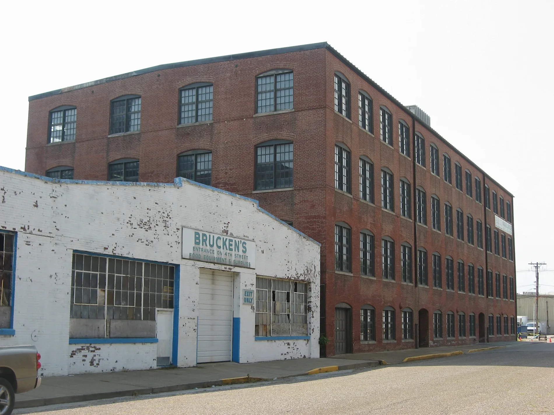
Northwest Martin Luther King Jr Boulevard in Evansville is a two-lane, asphalted residential street. The street has bike paths (bike protection lane). It runs in a southeast-northwest direction and crosses Vine Street, Sycamore Street, Main Street, Southeast Martin Luther King Jr Boulevard, Mary Street, John Street and Court Street.
- Road Type
- residential street
- Lanes
- 2
- Route
- southeast-northwest
Image
Banks
Theaters
Ice cream shops
Bakeries
Hospitals
Beauty salons
Restaurants
Cafes
Mailboxes
Places of worship
Schools
Town halls
Post offices
Tourist information centers
Fast food restaurants
Bars
Fire stations
Streets nearby
Northwest 8th Street400 ft
Court Street500 ft
West Lloyd Expressway0.1 mi
John Street0.1 mi
Sycamore StreetMajor Munch, Fifth Third Bank, United States Post Office
0.1 mi
West Division StreetMcDonald's
0.2 mi
Ingle Street0.2 mi
Northwest 6th StreetVictory Theatre
0.2 mi
Mary Street0.2 mi
Coliseum Court0.2 mi
Northwest 10th Street0.2 mi
Northwest 9th Street0.2 mi
Southeast 6th Street0.2 mi
Vine StreetThe Short Lived Canal
0.2 mi
Northwest 5th StreetLic's Deli & Ice Cream
0.2 mi
Main StreetOld National Bank, Peephole Bar and Grill, Piece of Cake, COMFORT, Signature School, Milanos Italian Cuisine, Gangnam Korean Cuisine
0.2 mi
Northwest 4th StreetWired Coffee House
0.3 mi
Southeast Martin Luther King Jr BoulevardCivic Center
0.3 mi
Southeast 5th Street0.3 mi
West Indiana Street0.3 mi
Southeast 9th Street0.3 mi
East Lloyd ExpresswayHarper Elementary and Junior High School
0.3 mi
Locust Street0.3 mi
Southeast 4th StreetSamuel's, Jaya's Authentic Foods
0.3 mi
Pasco Avenue0.4 mi
tin Luther King Jr Boulevard0.4 mi
East Sycamore Street0.4 mi
South Elsas Avenue0.4 mi
Walnut Street0.4 mi
Chestnut StreetWTSN-CD
0.5 mi
Buildings nearby
Signature School Main Building0.2 mi
Bars nearby
The Rooftop450 ft
Birdies500 ft
Buildings nearby
Old Fellwock Auto Company0.2 mi
Just Rennie's Catering0.3 mi
Courthouses nearby
Old County Courthouse0.2 mi
Event venues nearby
Old National Events Plaza0.3 mi
Hotels nearby
Doubletree by Hilton Evansville0.4 mi
Libraries nearby
Central Library0.4 mi
Museums nearby
Children's Museum of Evansville0.3 mi
Nightclubs nearby
Someplace Else Nightclub0.2 mi
Parks nearby
4th and Main Park0.2 mi
Places of worship nearby
Saint Mary Catholic Church0.5 mi
Restaurants nearby
Main Street Food and Beverage0.2 mi
Schools nearby
Robert L. Koch II Science Center0.2 mi
Sports centers nearby
YMCA500 ft
Stadiums nearby
Ford Center0.2 mi
Stations nearby
METS Terminal0.1 mi
Other nearby
Civic Center Substation0.1 mi
Public transit map Evansville Legend
| Railway | |
| Bus | |
| Streetcar |
Bicycle map Evansville Legend
| Bike path | |
| Bike lane on roadway | |
| Cycling allowed on bus lane | |
| Bicycle street | |
| Open to cyclists | |
| Open to cyclists, good path | |
| Cycling prohibited | |
| Cobblestone |
| Long-distance bike route | (depending on scale) | |
| Long-distance bike route |
Pedestrian map Evansville Legend
| Path |
| Long-distance hiking trail | (depending on scale) | |
| Long-distance hiking trail | ||
| Pedestrians prohibited |