
College Heights Road in Manhattan, Kansas
College Heights Road in Manhattan is a residential street. The street has sidewalks. No bike lane available. It runs in an east-west direction starting from Timberlane Drive and crosses Anderson Avenue, College Avenue, College Heights Circle, Midland Avenue, Goodnow Avenue, Elling Drive, Lee Street, Quivera Drive, Sunset Avenue, McCollum Street and Denison Avenue. It ends in a cul-de-sac. The nearest bus stop is Union North (about 150 m away). The bus line 1B stops here.
- Bicycle
- yes
- Bike Lane
- no
- Road Type
- unclassified road
- Speed Limit
- 30 mph
- Route
- east-west
Image
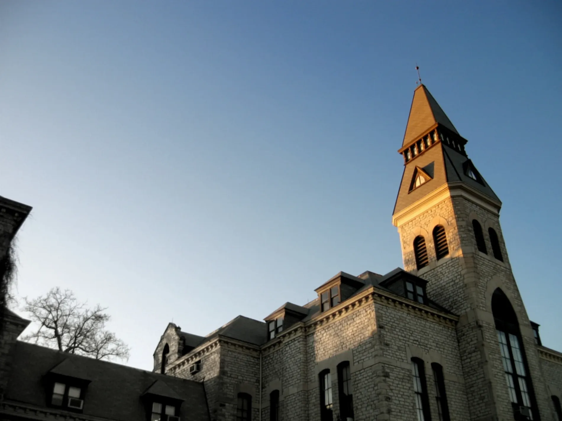
Bus stops
- bus lines 1B
Streets nearby
Platt Street0.1 mi
Bosco PlazaBosco Clock Tower, Subway, Cat's Den, Radina's Coffee, Qdoba, Chick-fil-A, Panda Express, Just Salad, K-State Campus Store, Green Apple Bikes Kansas State Student Union Station
0.1 mi
Denison AvenueGreen Apple Bikes Ackert Hall Station, Green Apple Bikes Memorial Stadium Station, Sidebothham Fountain, Bidwell Family Fountain, Arrow Coffe, The Nail Shopped
0.1 mi
Quivera Circle0.1 mi
North 17th Street;Martin Luther King Jr Memorial Drive0.2 mi
McCollum Street0.2 mi
Senior Sidewalk0.2 mi
Hunting Avenue0.2 mi
Sunset AvenueLafene
0.2 mi
North Martin Luther King Jr DriveMLK Jr & Leavenworth, Martin Luther King Jr. Bust, Union North, Green Apple Bikes Holiday Inn Station, K-State Union, Commerce Bank
0.2 mi
Anderson AvenueChase, Insomnia Cookies, Brothers Coffee Company, KwikShop, Cenex, Phoenix Car Wash, Pamper Me Pretty Salon, Juicy's Vapor Lounge, Shop Quick, Carquest, Little Apple Liquor, Village Plaza, New Century Bank
0.3 mi
Montgomery Drive0.3 mi
Thackrey Street0.3 mi
West Laramie Street0.3 mi
Fairchild Avenue0.4 mi
Fairchild Terrace0.4 mi
Apartment buildings nearby
Wildcat Inn500 ft
Buildings nearby
Sigma Alpha Epsilon450 ft
FarmHouse Fraternity0.1 mi
East Stadium0.2 mi
Phi Gamma Delta0.3 mi
Delta Delta Delta0.3 mi
Theta Xi0.3 mi
Alpha Xi Delta0.4 mi
Lambda Chi Alpha0.4 mi
Kappa Kappa Gamma0.4 mi
Alpha Delta Pi0.4 mi
Zeta0.4 mi
Dormitories nearby
Wefald Hall0.2 mi
Goodnow Hall0.2 mi
Marlatt Hall0.2 mi
Houses nearby
Sigma Phi Epsilon Fraternity0.3 mi
Pi Kappa Phi0.4 mi
Parking lots nearby
K-State Parking Garage0.2 mi
Places of worship nearby
Unity Church of Manhattan550 ft
St. Isidore's Catholic Student Center0.2 mi
Restaurants nearby
Houlihan's0.3 mi
Stadiums nearby
Ahearn Field House450 ft
World War I Memorial Stadium0.1 mi
University buildings nearby
Durland Hall150 ft
Engineering Hall150 ft
Rathbone Hall450 ft
Fiedler Hall500 ft
Seaton Hall0.1 mi
Power Plant0.1 mi
K-State Student Union0.2 mi
Morris Family Multicultural Student Center0.2 mi
Alumni Center0.2 mi
Kramer Food Center0.2 mi
 Public transit map Manhattan Legend
| Railway | |
| Bus | |
| Streetcar |
 Bicycle map Manhattan Legend
| Bike path | |
| Bike lane on roadway | |
| Cycling allowed on bus lane | |
| Bicycle street | |
| Open to cyclists | |
| Open to cyclists, good path | |
| Cycling prohibited | |
| Cobblestone |
| Long-distance bike route | (depending on scale) | |
| Long-distance bike route |
 Pedestrian map Manhattan Legend
| Path |
| Long-distance hiking trail | (depending on scale) | |
| Long-distance hiking trail | ||
| Pedestrians prohibited |