
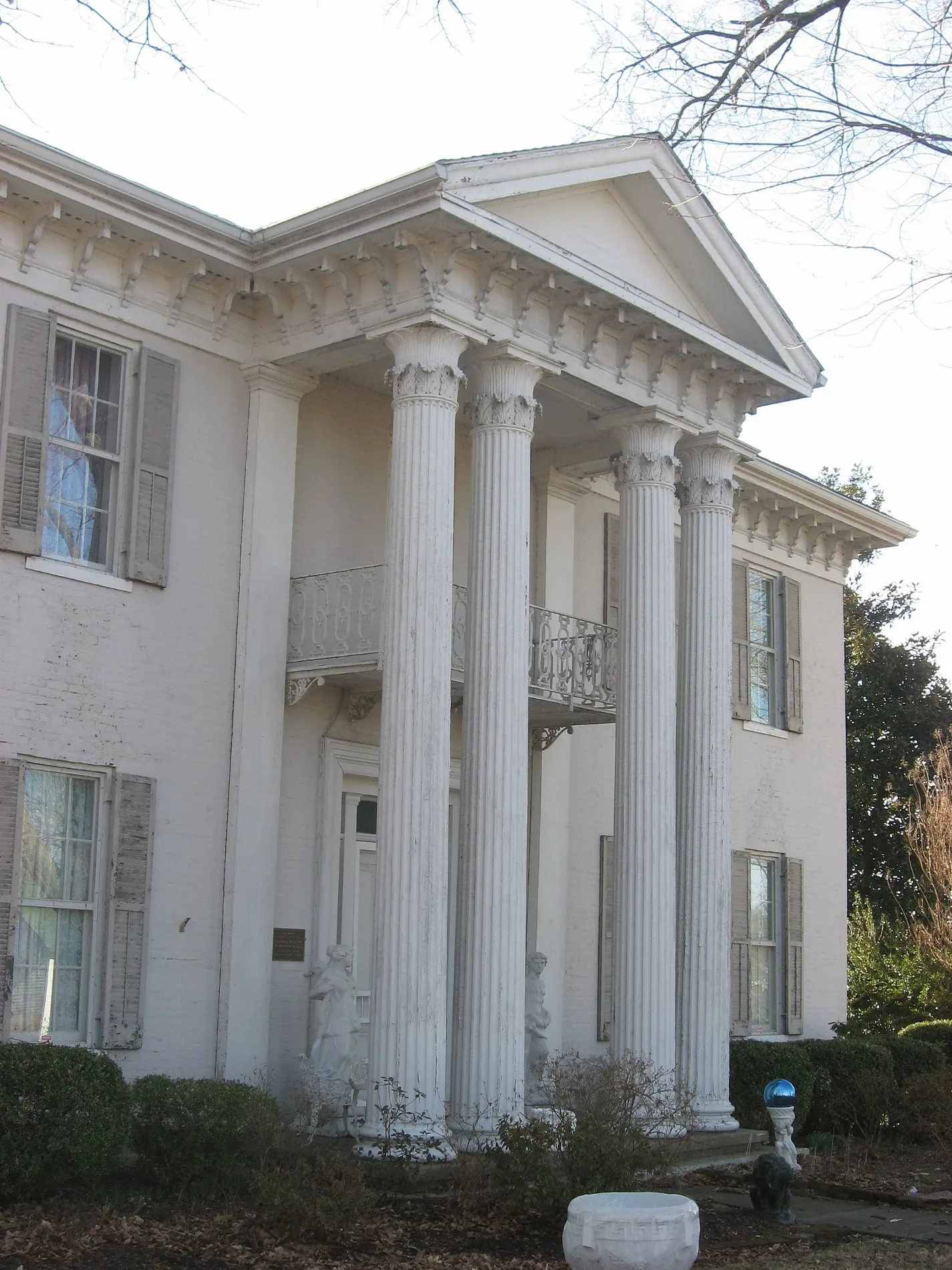
South Harrison Street in Princeton, Kentucky
South Harrison Street in Princeton is a residential street. It runs in a northeast-southwest direction and crosses West Legion Drive, Akers Avenue and Groom Street and ends at Hospital Drive, while the other end is a cul-de-sac.
- Road Type
- residential street
- Route
- northeast-southwest
Image
Hearing aid centers
Supermarkets
Furniture stores
Hair salons
Drugstores
Dentist offices
Police stations
Tourist information centers
- Shandy Hall (Princeton) (Marker Number: 1902). Shandy Hall, two-story stone home built on bluff above Big Spring, built by William Prince on his 200-acre survey made in 1798. Prince, a Rev. War veteran from S.C., began town on waters of Eddy Creek. In 1817, Princetown became county seat of Caldwell – approx. 0.4 mi.
- Ogden Memorial United Methodist Church (Marker Number: 1932). Congregation organized in 1818 as Methodist Episcopal Church at home of Richard Barnes, a tanner. First meeting house later built beside his home on S. Jefferson St. Became M.E. Church, South, 1845, when national church split over slavery. Renamed to ho – approx. 0.5 mi.
- Cumberland Presbyterian College (Marker Number: 1453). Site of college founded March, 1826, by the Cumberland Presbyterian Church. First president was Rev. F. R. Cossitt. School opened with six students on some 500 acres of land bought for $6,000. A manual-labor school, students required to work 2 hours a d – approx. 0.5 mi.
- Princeton First Baptist Church (Marker Number: 2195). First Baptist Church, organized on March 30, 1850, under the leadership of the Rev. James Mansfield and a presbytery from Donaldson, Harmony, and New Bethel Baptist Churches, began with 11 members. The 1st church, built in 1851, stood on Vine Street. It – approx. 0.5 mi.
Pubs
Banks
Florists
Gas stations
Tattoo studios
Interior decorators
Copy shops
Beauty salons
Streets nearby
Groom Street200 ft
Alley 12200 ft
Hayes Avenue0.1 mi
Akers Avenue0.1 mi
Alley 110.1 mi
West Legion Drive0.1 mi
South Jefferson StreetFirst Southern National Bank
0.1 mi
Hospital Drive0.2 mi
Cash Drive0.2 mi
Maple Street0.2 mi
Cherry Street0.2 mi
Rose Avenue0.2 mi
East Legion DriveMarathon - Mo Gas, Princeton Hearing Aid Center - Beltones
0.2 mi
Jacob Drive0.2 mi
Bell Street0.3 mi
Beverly Lane0.3 mi
Vine Street0.3 mi
Downs Street0.3 mi
South Cave Street0.3 mi
Railroad Street0.3 mi
Manor Drive0.3 mi
South Seminary Street0.3 mi
Maplewood Lane0.3 mi
Vanhooser Drive0.3 mi
Tulip Street0.3 mi
Ruth Avenue0.3 mi
Hope Lane0.3 mi
Ratliff Street0.3 mi
Bluegrass Street0.3 mi
Alise Court0.4 mi
Cantrell Drive0.4 mi
Veterans Drive0.4 mi
Dowell Drive0.5 mi
Buildings nearby
Farless Realty0.2 mi
PEPB - Princeton Electric Plant Board0.2 mi
Max Arnold and Sons0.3 mi
The Welding Shop0.3 mi
Clinics nearby
Fresenius Kidney Care Jefferson - Princeton0.1 mi
Caldwell County Healh Department0.2 mi
Clothing stores nearby
Bella Marie Boutique0.2 mi
Convenience stores nearby
Circle K0.1 mi
Parks nearby
Ratliff Park0.5 mi
Restaurants nearby
BBQ0.3 mi
Self storages nearby
Stowe It, Two0.3 mi
Sports fields nearby
Lady Tigers Softball Field0.3 mi
Youth Inc. Softball Field0.4 mi
Youth Inc. Baseball Field0.4 mi
Tigers Baseball Field0.4 mi
Supermarkets nearby
Food Giant0.2 mi
Public transit map Princeton Legend
| Railway | |
| Bus | |
| Streetcar |
Bicycle map Princeton Legend
| Bike path | |
| Bike lane on roadway | |
| Cycling allowed on bus lane | |
| Bicycle street | |
| Open to cyclists | |
| Open to cyclists, good path | |
| Cycling prohibited | |
| Cobblestone |
| Long-distance bike route | (depending on scale) | |
| Long-distance bike route |
Pedestrian map Princeton Legend
| Path |
| Long-distance hiking trail | (depending on scale) | |
| Long-distance hiking trail | ||
| Pedestrians prohibited |