
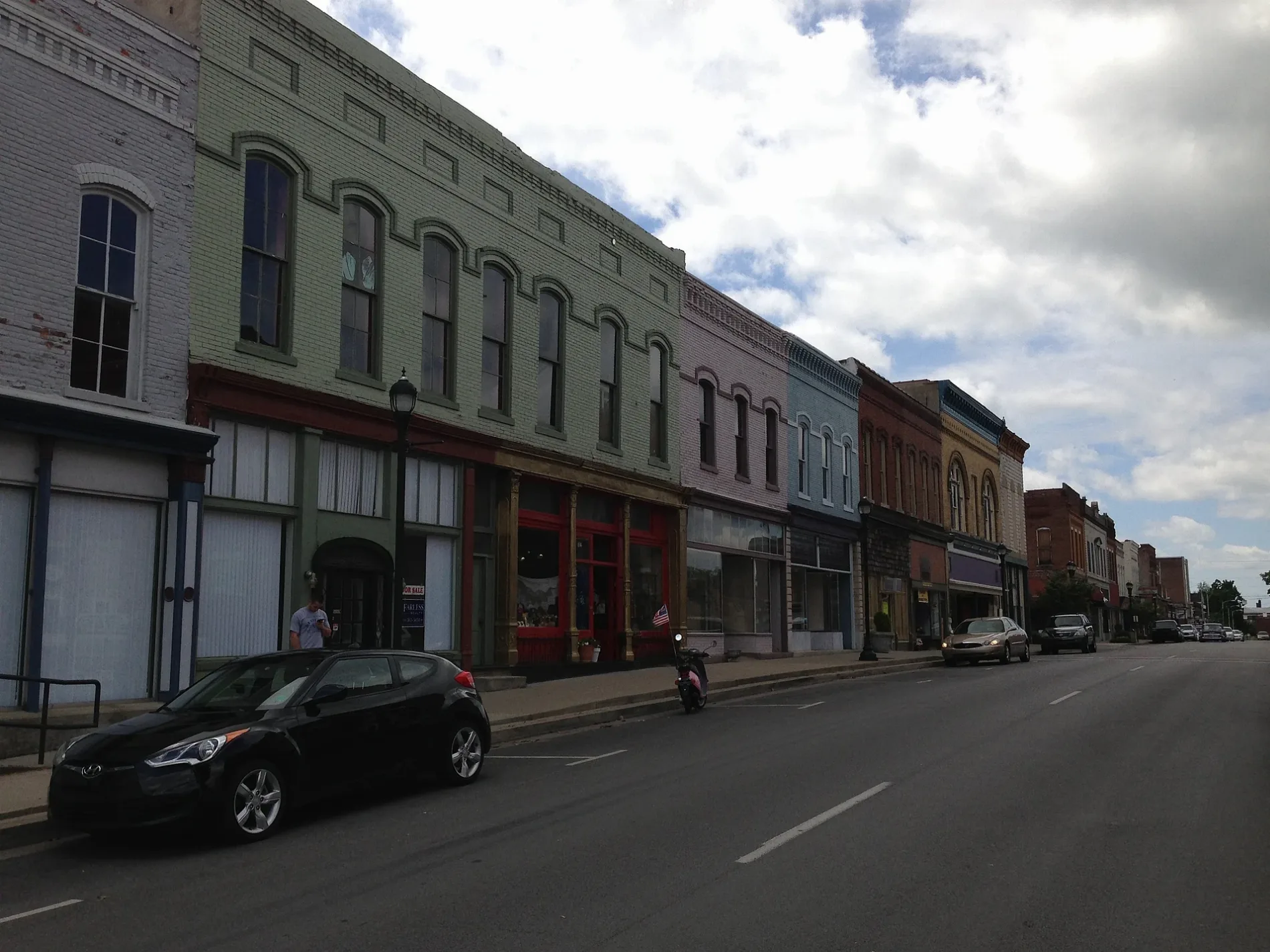
South Jefferson Street in Princeton, Kentucky
South Jefferson Street in Princeton is a secondary road (Road number KY 139;KY 293). It runs in a northeast-southwest direction starting from West Main Street and crosses East Main Street, Alley 4, East Washington Street, Edwards Avenue, Vine Street, Cash Drive and West Legion Drive and ends at East Legion Drive. This street is part of the highways 139 and 293. Nearby there is a bank. South Jefferson Street also exists in Campbell County, Union County and Hickman County.
- Road Type
- secondary road
- Route
- northeast-southwest
Image
Banks
Streets nearby
North Harrison StFarmers Bank and Trust, Co., Armory Gun Shop, Junk Angels
400 ft
Cs-1216500 ft
Edwards Avenue500 ft
Simpson Circle500 ft
East Washington StreetConverging of Indian Trails (Marker Number: 1916), Shandy Hall (Princeton) (Marker Number: 1902), Trail of Tears (Marker Number: 142), Big Springs Park Information Board
0.1 mi
Edward Street0.1 mi
South Hawthorne Street0.1 mi
Vine Street0.1 mi
Cash Drive0.2 mi
Blackburn Street0.3 mi
Shops nearby
Coleman Shoe Repair and Bootery INC400 ft
Antique stores nearby
Big Springs Antique Mall500 ft
Auto repair shops nearby
Kendall AutoCare Center - Fast Lube & Oil Service0.1 mi
Buildings nearby
First Southern National Bank200 ft
Woodall Agency250 ft
Crooked Tail Distilery250 ft
Princeton Counseling - Life Coach300 ft
Barclay W. Banister - Attorney At Law300 ft
Farmers Bank300 ft
116350 ft
Vance W Cook - Attorney At Law350 ft
Jill Giordano - Attorney At Law400 ft
Redken500 ft
Princeton Tourist Welcome Center0.1 mi
Farless Realty0.2 mi
Clinics nearby
Big Springs Cardiology0.1 mi
Clothing stores nearby
Bella Marie Boutique0.3 mi
Community centers nearby
VFW Post 5559550 ft
Courthouses nearby
Drug Court350 ft
Caldwell County Courthouse450 ft
Dry cleaners nearby
Farmers Cleaners0.1 mi
Florists nearby
The Blossom Shoppe200 ft
Flowers and Arrangements300 ft
Furniture stores nearby
Brantley's Furnature350 ft
Galleries nearby
Princeton Art Guild450 ft
General stores nearby
Newsom's Old Mill Country Ham & General Store0.1 mi
Hair salons nearby
Marty's Barber Shop250 ft
Total Image Beauty Salon0.1 mi
Hardware stores nearby
Joiner Hardware300 ft
Libraries nearby
George Coon Public Library450 ft
Medical supply stores nearby
Orr Medical300 ft
Parks nearby
Stairway to Big Springs Park500 ft
Trail of Tears Commemorative Park0.1 mi
Pet grooming salons nearby
Pet Grooming & Boarding by David Rogers250 ft
Picnic areas nearby
Picnic/Park250 ft
Places of worship nearby
New Haven General Baptist Church0.2 mi
Post offices nearby
United States Postal Service550 ft
Restaurants nearby
Choo Choo Ollies0.1 mi
Self storages nearby
Stowe It, Two0.2 mi
Public transit map Princeton Legend
| Railway | |
| Bus | |
| Streetcar |
Bicycle map Princeton Legend
| Bike path | |
| Bike lane on roadway | |
| Cycling allowed on bus lane | |
| Bicycle street | |
| Open to cyclists | |
| Open to cyclists, good path | |
| Cycling prohibited | |
| Cobblestone |
| Long-distance bike route | (depending on scale) | |
| Long-distance bike route |
Pedestrian map Princeton Legend
| Path |
| Long-distance hiking trail | (depending on scale) | |
| Long-distance hiking trail | ||
| Pedestrians prohibited |