
East Main Street in Princeton, Kentucky
East Main Street in Princeton is a residential street. It runs in a southeast-northwest direction starting from West Main Street and crosses South Jefferson Street, East Court Square, Alley 14, North Franklin Street, Hopkinsville Street, South Hawthorne Street, North Eagle Street, North Chestnut Street, South Chestnut Street and South Mitchell Street and ends at North Highland Avenue. This street is part of the highways 139, 91, 293 and 62. Nearby you can find a charging station, a dentist office and a pub. East Main Street also exists in Fayette County, Campbell County, Livingston County, Union County and Gallatin County.
- Road Type
- residential street
- Route
- southeast-northwest
Image
Streets nearby
North Eagle Street150 ft
South Hawthorne Street400 ft
East Washington StreetConverging of Indian Trails (Marker Number: 1916), Shandy Hall (Princeton) (Marker Number: 1902), Trail of Tears (Marker Number: 142), Big Springs Park Information Board
500 ft
Cadiz Street500 ft
Simpson Circle0.1 mi
East Locust Street0.1 mi
North Chestnut Street0.1 mi
South Chestnut Street0.1 mi
Edward Street0.2 mi
Citizens Court0.2 mi
Stone Street0.2 mi
Blackburn Street0.2 mi
Woodlawn Court0.2 mi
Holeman Street0.2 mi
South Mitchell Street0.3 mi
North Mitchell Street0.3 mi
Alley 60.3 mi
Prince Street0.3 mi
Wood Street0.3 mi
East Market StreetPrinceton, City of Princeton - City Hall, William Prince, 1752-1810 (Marker Number: 2330)
0.3 mi
Cs-12210.3 mi
Cs-12270.3 mi
South Highland Avenue0.3 mi
North Highland Avenue0.4 mi
White Street0.4 mi
Nichols Street0.4 mi
Sandlick Road0.4 mi
Stevens Avenue0.4 mi
Dollar Street0.4 mi
Antique stores nearby
Big Springs Antique Mall0.1 mi
Apartment buildings nearby
Franklin Place Senior Appartments0.1 mi
Auto repair shops nearby
Kendall AutoCare Center - Fast Lube & Oil Service0.1 mi
Buildings nearby
Princeton Tourist Welcome Center500 ft
Redken0.1 mi
Cemeteries nearby
Cedar Hill Cemetery0.3 mi
Clinics nearby
Big Springs Cardiology0.1 mi
Community centers nearby
PACS Human Services100 ft
VFW Post 55590.1 mi
Dry cleaners nearby
Farmers Cleaners0.1 mi
General stores nearby
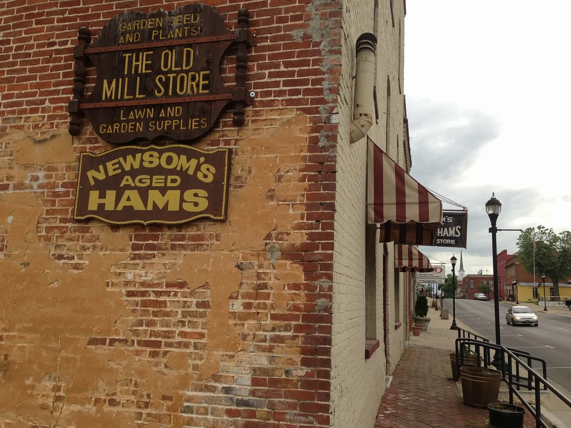
Newsom's Old Mill Country Ham & General Store350 ft
Gift shops nearby
Littlebita Heather450 ft
The Tin Roof0.2 mi
Hair salons nearby
Total Image Beauty Salon400 ft
Parks nearby
Trail of Tears Commemorative Park550 ft
Stairway to Big Springs Park0.1 mi
Places of worship nearby
New Haven General Baptist Church450 ft
First Christian Church0.2 mi
Southside Baptist Church0.3 mi
Restaurants nearby
Choo Choo Ollies0.1 mi
Public transit map Princeton Legend
| Railway | |
| Bus | |
| Streetcar |
Bicycle map Princeton Legend
| Bike path | |
| Bike lane on roadway | |
| Cycling allowed on bus lane | |
| Bicycle street | |
| Open to cyclists | |
| Open to cyclists, good path | |
| Cycling prohibited | |
| Cobblestone |
| Long-distance bike route | (depending on scale) | |
| Long-distance bike route |
Pedestrian map Princeton Legend
| Path |
| Long-distance hiking trail | (depending on scale) | |
| Long-distance hiking trail | ||
| Pedestrians prohibited |