
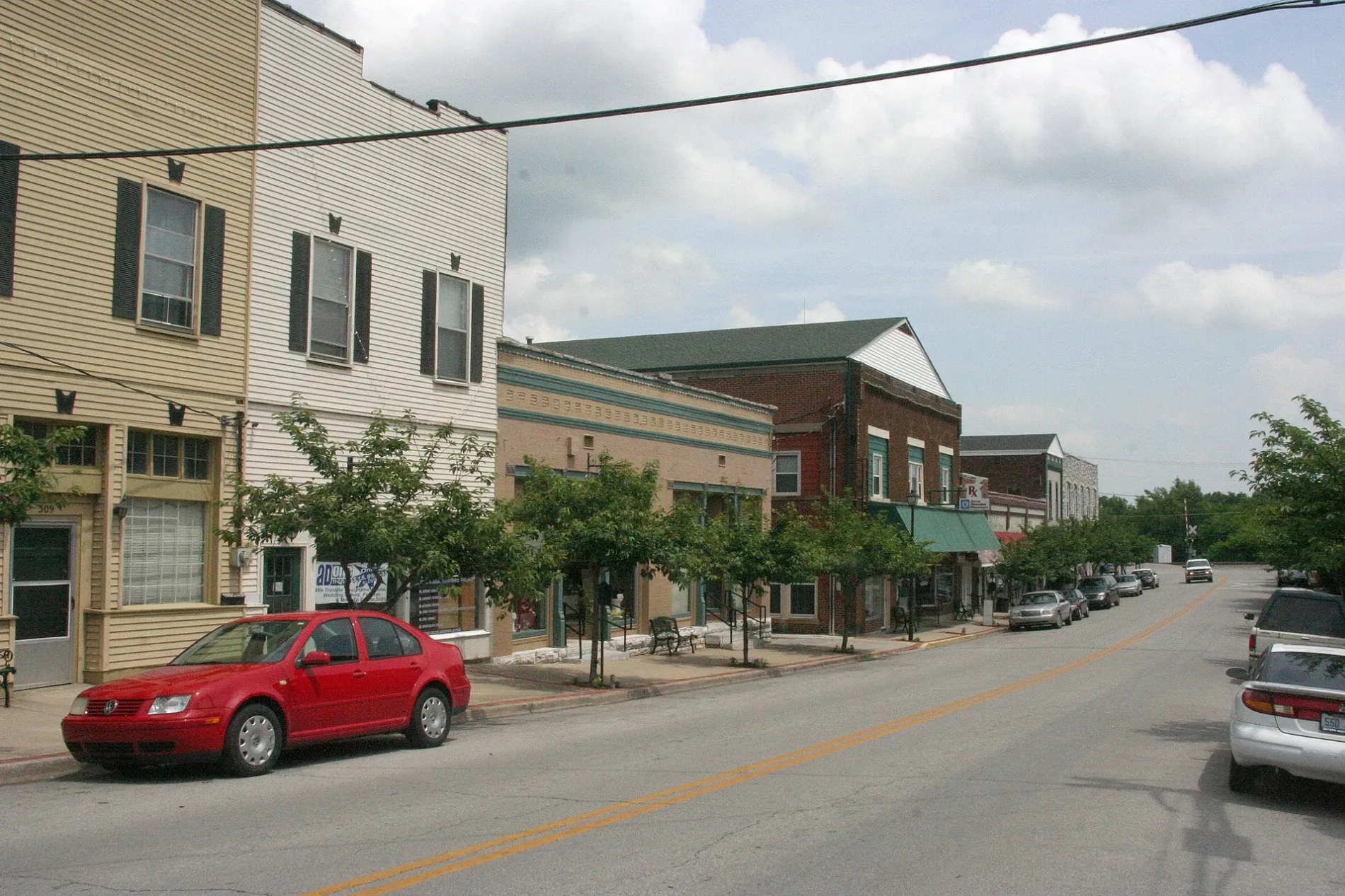
North Maple Street in Wilmore, Kentucky
North Maple Street in Wilmore is a residential street. It runs in a northeast-southwest direction starting from Gillispie Street and crosses Spring Street and ends at East Main Street. North Maple Street also exists in Crittenden County, Hardin County, Clark County and Pulaski County.
- Road Type
- residential street
- Speed Limit
- 15 mph
- Route
- northeast-southwest
Image
Banks
Variety stores
Auto repair shops
Community centers
Florists
Fast food restaurants
Streets nearby
Gillispie Street100 ft
Tococo CourtHRS Automotive
400 ft
June Ryan CircleJohn Wesley Statue
0.1 mi
Spring Street0.1 mi
North Walnut Street0.2 mi
Scott Street0.2 mi
Blue Jay Way0.2 mi
Combs Lane0.2 mi
North Lexington Avenue0.2 mi
Red robin Way0.2 mi
Locust Street0.2 mi
East College StreetCounty Pantry, Wilmore
0.2 mi
East Morrison Street0.2 mi
West Margaret Drive0.3 mi
Mockingbird Lane0.3 mi
Penrod Court0.3 mi
East Main StreetThrift Shop, Subway, Kentucky Bank, IGA, Rachel's Rose Garden, Community Service Center
0.3 mi
Butler Boulevard0.3 mi
Apartment buildings nearby
North Maple Apartments300 ft
Banks nearby
Farmers Bank0.2 mi
Buildings nearby
Rice House0.3 mi
Cafes nearby
Drinklings Coffee0.2 mi
Cemeteries nearby
Lowry Cemetery0.2 mi
Commercial buildings nearby
Sterling Mini Storage450 ft
Gas stations nearby
Marathon0.2 mi
Guest houses nearby
Scott Station Inn0.2 mi
Hair salons nearby
Clay's Barbershop0.2 mi
Hotels nearby
Asbury Inn & Suites0.1 mi
Houses nearby
Multicultural House - International Student Guest Room0.1 mi
Libraries nearby
B. L. Fisher Library0.2 mi
Museums nearby
Wilmore Rail-Side Museum0.2 mi
Parks nearby
Wilmore Mini Park150 ft
Places of worship nearby
Beeson International Chapel450 ft
McKenna Chapel0.1 mi
Estes Chapel0.2 mi
Wilmore United Methodist Church0.2 mi
Extreme Life Fellowship0.2 mi
GCF0.2 mi
Police stations nearby
Wilmore Police Station0.2 mi
Post offices nearby
Wilmore Post Office0.2 mi
Town halls nearby
Wilmore City Hall0.2 mi
Universities nearby
Sherman Thomas Student Center0.1 mi
Newton W. Grice Hall0.1 mi
J. C. McPheeters Leadership Center0.1 mi
Frank Bateman Stanger Hall0.1 mi
Henry Clay Morrison Administration Building0.2 mi
Crary-McPheeters Building0.2 mi
Larabee-Morris Hall0.2 mi
Art Annex0.2 mi
 Public transit map Wilmore Legend
| Railway | |
| Bus | |
| Streetcar |
 Bicycle map Wilmore Legend
| Bike path | |
| Bike lane on roadway | |
| Cycling allowed on bus lane | |
| Bicycle street | |
| Open to cyclists | |
| Open to cyclists, good path | |
| Cycling prohibited | |
| Cobblestone |
| Long-distance bike route | (depending on scale) | |
| Long-distance bike route |
 Pedestrian map Wilmore Legend
| Path |
| Long-distance hiking trail | (depending on scale) | |
| Long-distance hiking trail | ||
| Pedestrians prohibited |