
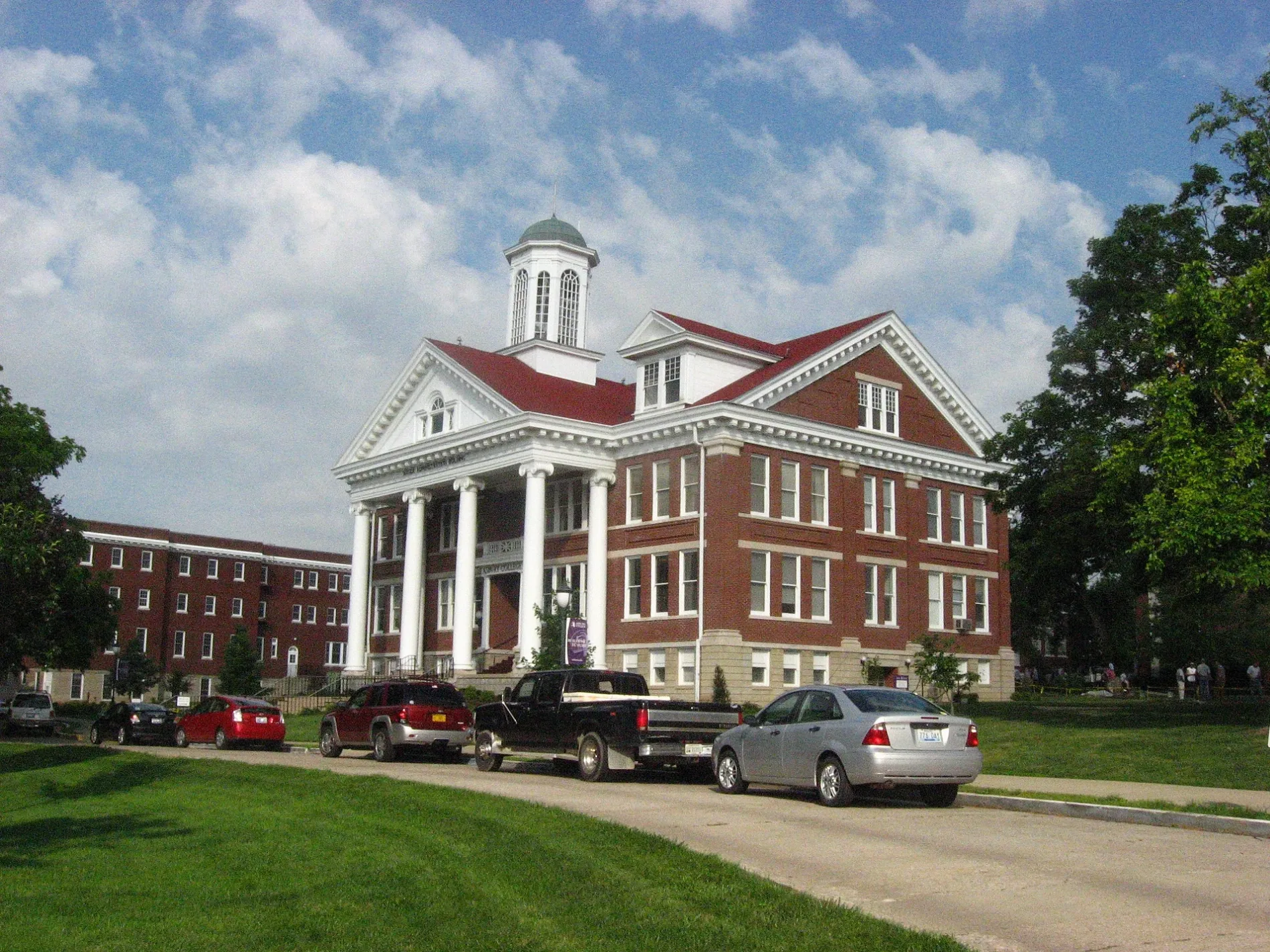
East Morrison Street in Wilmore, Kentucky
East Morrison Street in Wilmore is a residential street. It runs in an east-west direction starting from West Morrison Street and crosses North Lexington Avenue and Pleasantview Street and ends at Epworth Drive. East Morrison Street also exists in Butler County.
- Road Type
- residential street
- Route
- east-west
Image
Banks
Florists
Convenience stores
Attractions
Fast food restaurants
Supermarkets
Auto repair shops
Community centers
Clothing stores
Variety stores
Streets nearby
North Walnut Street550 ft
West Morrison Street0.1 mi
Pleasantview Street0.1 mi
North Lexington Avenue0.1 mi
East Barr Street0.2 mi
June Ryan CircleJohn Wesley Statue
0.2 mi
West Barr Street0.2 mi
Tococo CourtHRS Automotive
0.2 mi
East College StreetCounty Pantry, Wilmore
0.2 mi
Hinkle Street0.2 mi
Bellevue Avenue0.2 mi
Broadhurst Drive0.2 mi
Hughes Avenue0.2 mi
Gillispie Street0.2 mi
Red robin Way0.3 mi
Asbury Drive0.3 mi
Combs Lane0.3 mi
Akers Drive0.3 mi
Hutchins Drive0.3 mi
Blue Jay Way0.3 mi
Mockingbird Lane0.3 mi
Banta Lane0.3 mi
Epworth Drive0.3 mi
Latimer Boulevard0.4 mi
Tennent Drive0.4 mi
Buildings nearby
Evangelism Resources0.3 mi
Commercial buildings nearby
Sterling Mini Storage0.2 mi
Gas stations nearby
Marathon0.1 mi
Hotels nearby
Asbury Inn & Suites0.2 mi
Libraries nearby
B. L. Fisher Library0.2 mi
Parks nearby
Aldersgate Quad0.2 mi
Wilmore Mini Park0.2 mi
Places of worship nearby
GCF0.2 mi
McKenna Chapel0.2 mi
Beeson International Chapel0.2 mi
Residential areas nearby
Kalas Village0.3 mi
Sports fields nearby
Sim's Ball Park0.2 mi
Universities nearby
Art Annex0.1 mi
Bellevue House0.1 mi
Davis0.2 mi
Fisher0.2 mi
Howell0.2 mi
Pike0.2 mi
Frank Bateman Stanger Hall0.2 mi
J. C. McPheeters Leadership Center0.2 mi
Larabee-Morris Hall0.2 mi
Eddy0.2 mi
Kresge Hall0.2 mi
Thacker0.2 mi
Public transit map Wilmore Legend
| Railway | |
| Bus | |
| Streetcar |
Bicycle map Wilmore Legend
| Bike path | |
| Bike lane on roadway | |
| Cycling allowed on bus lane | |
| Bicycle street | |
| Open to cyclists | |
| Open to cyclists, good path | |
| Cycling prohibited | |
| Cobblestone |
| Long-distance bike route | (depending on scale) | |
| Long-distance bike route |
Pedestrian map Wilmore Legend
| Path |
| Long-distance hiking trail | (depending on scale) | |
| Long-distance hiking trail | ||
| Pedestrians prohibited |