
North Lexington Avenue in Wilmore, Kentucky
North Lexington Avenue in Wilmore is a two-lane, asphalted secondary road (Road number KY 29). The street has a bike lane (bike lane). It runs in a northeast-southwest direction starting from Lexington Road and crosses Epworth Drive, Banta Lane, Hutchins Drive, West Barr Street, East Barr Street, East Morrison Street, West Morrison Street, East College Street, West College Street, Macklem Drive and Johnson Alley. It ends in a cul-de-sac. This street is part of the highway "29" as well as the Bicycle route "Bluegrass Bike Tour".
- Bicycle
- designated
- Road Type
- secondary road
- Lanes
- 2
- Speed Limit
- 25 mph
- Route
- northeast-southwest
Image
Supermarkets
Florists
Attractions
Convenience stores
Community centers
Variety stores
Fast food restaurants
Banks
Clothing stores
Auto repair shops
Streets nearby
Macklem Drive300 ft
Johnson Alley550 ft
Spring Street0.1 mi
Bethel Street0.1 mi
Hughes Avenue0.1 mi
West College Street0.1 mi
Johnson/Trustees Cul-de-sacJohnson/Trustees Turnaround
0.1 mi
West Main Street0.2 mi
East Linden StreetDollar General
0.2 mi
Antique stores nearby
Antique Center0.2 mi
Banks nearby
First Southern National Bank (Branch Closed)0.1 mi
United Bank0.2 mi
Buildings nearby
Physical Plant0.1 mi
Cemeteries nearby
Lowry Cemetery300 ft
Commercial areas nearby
Wilmore Shopping Center0.2 mi
Dentist's offices nearby
David A. Murphy D.M.D. - Family Dentist0.1 mi
Hair salons nearby
Wade's Barbershop0.2 mi
Libraries nearby
B. L. Fisher Library200 ft
Parks nearby
The Semicircle250 ft
Outdoor Classroom350 ft
Reasoner Green500 ft
Places of worship nearby
Estes Chapel200 ft
GCF450 ft
Wilmore Presbyterian Church500 ft
Mt. Freedom Baptist Church0.1 mi
Wilmore United Methodist Church0.2 mi
Restaurants nearby
Solomon's Porch0.1 mi
Great Wall0.2 mi
Technical colleges nearby
Alumni House0.1 mi
Universities nearby
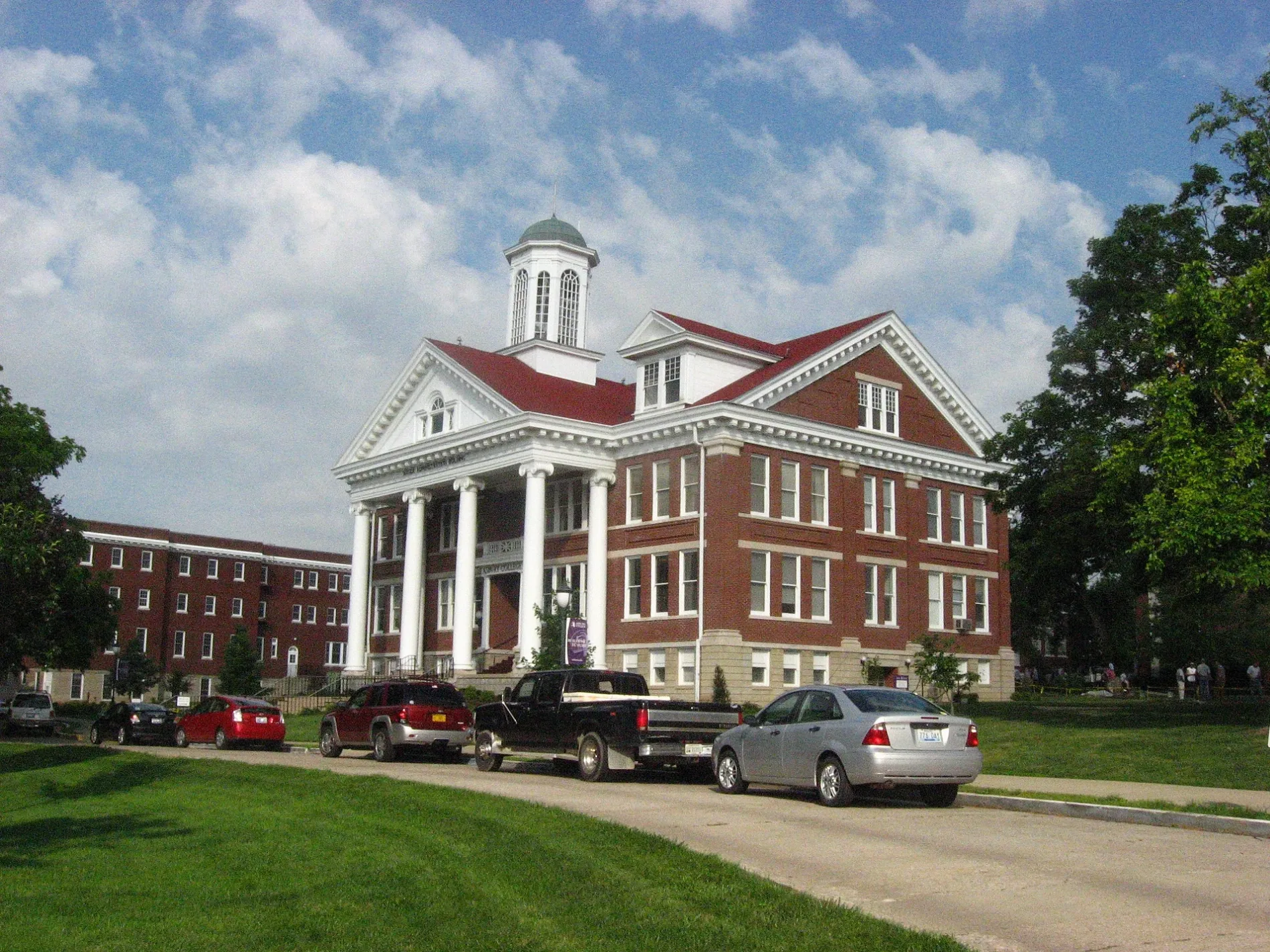
Henry Clay Morrison Administration Building250 ft
Crary-McPheeters Building250 ft
Larabee-Morris Hall300 ft
Hager Administration Building350 ft
Morrison Hall350 ft
Hughes Memorial Auditorium400 ft
Frank Bateman Stanger Hall400 ft
Kinlaw Library500 ft
Reasoner Hall500 ft
Sherman Thomas Student Center0.1 mi
Student Center0.1 mi
Asbury Theological Seminary0.1 mi
Z. T. Johnson Cafeteria0.1 mi
Newton W. Grice Hall0.1 mi
Johnson Hall0.1 mi
Center for Wholeness and Wellness0.1 mi
Corbitt Hall0.1 mi
Trustees Hall0.2 mi
Original Asbury Building0.2 mi
University buildings nearby
Married Housing0.2 mi
Public transit map Wilmore Legend
| Railway | |
| Bus | |
| Streetcar |
Bicycle map Wilmore Legend
| Bike path | |
| Bike lane on roadway | |
| Cycling allowed on bus lane | |
| Bicycle street | |
| Open to cyclists | |
| Open to cyclists, good path | |
| Cycling prohibited | |
| Cobblestone |
| Long-distance bike route | (depending on scale) | |
| Long-distance bike route |
Pedestrian map Wilmore Legend
| Path |
| Long-distance hiking trail | (depending on scale) | |
| Long-distance hiking trail | ||
| Pedestrians prohibited |