
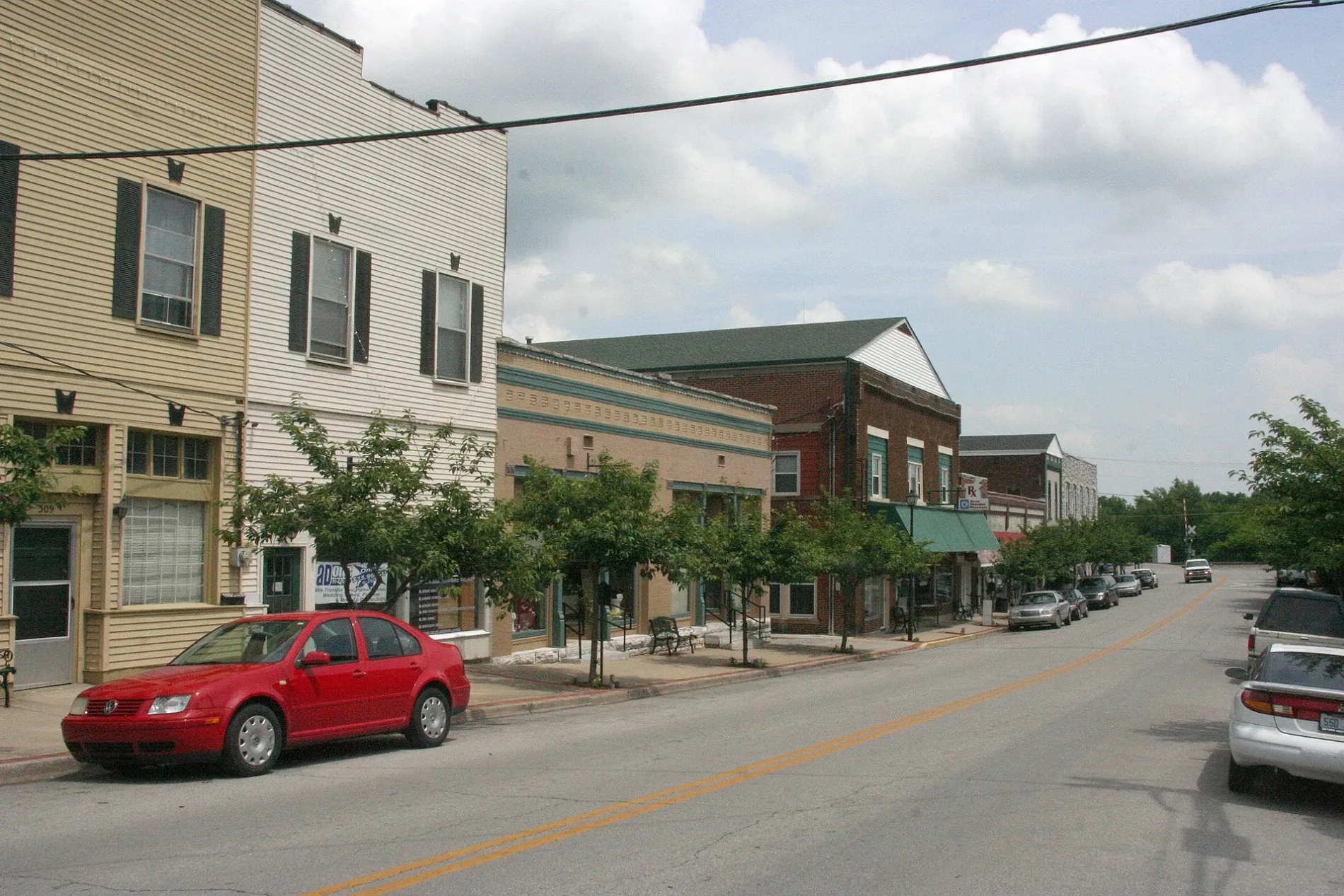
Wood Street in Wilmore, Kentucky
Wood Street in Wilmore is a residential street and runs in a north-south direction starting from East Main Street and ends at High Street. Wood Street also exists in Kenton County, Hancock County, Boyle County, Caldwell County and Christian County.
- Road Type
- residential street
- Route
- north-south
Image
Fast food restaurants
Convenience stores
Florists
Community centers
Banks
Auto repair shops
Streets nearby
High Street150 ft
East Avenue0.1 mi
Rice Street0.2 mi
Academy Drive0.2 mi
Walters Lane0.2 mi
Locust Street0.2 mi
Scott Street0.2 mi
Creekside Drive0.2 mi
East Main StreetThrift Shop, Subway, Kentucky Bank, IGA, Rachel's Rose Garden, Community Service Center
0.3 mi
Quail Run0.3 mi
South Maple Street0.3 mi
West Margaret Drive0.3 mi
Butler Boulevard0.3 mi
Penrod Court0.3 mi
Winding Way0.3 mi
Barefoot Drive0.3 mi
East Linden StreetDollar General
0.4 mi
North Maple Street0.4 mi
Gwendolyn Court0.4 mi
Gillispie Street0.4 mi
Apartment buildings nearby
North Maple Apartments0.3 mi
Banks nearby
Farmers Bank0.3 mi
Buildings nearby
Wilmore Christian Ballet0.1 mi
St. Joseph Primary Care Associates0.2 mi
Rice House0.2 mi
Camp Kitchen0.2 mi
Jason Young Prayer Chapel0.2 mi
Camp Restrooms0.2 mi
Outdoor Pavilion0.3 mi
Bell Office Building0.3 mi
Warehouse0.3 mi
Cafes nearby
Drinklings Coffee0.2 mi
Churches nearby
Tabernacle0.2 mi
Guest houses nearby
Turkington Hall0.2 mi
Scott Station Inn0.3 mi
King Hall0.3 mi
Hair salons nearby
Clay's Barbershop0.2 mi
Houses nearby
Multicultural House - International Student Guest Room0.3 mi
Museums nearby
Wilmore Rail-Side Museum0.2 mi
Parks nearby
Braden Park0.2 mi
Wilmore Mini Park0.4 mi
Places of worship nearby
Extreme Life Fellowship0.2 mi
Wilmore United Methodist Church0.4 mi
Police stations nearby
Wilmore Police Station0.2 mi
Post offices nearby
Wilmore Post Office0.3 mi
Railways nearby
CNO&TP First District0.1 mi
NS CNO&TP North District0.1 mi
Town halls nearby
Wilmore City Hall0.2 mi
Universities nearby
Newton W. Grice Hall0.4 mi
Public transit map Wilmore Legend
| Railway | |
| Bus | |
| Streetcar |
Bicycle map Wilmore Legend
| Bike path | |
| Bike lane on roadway | |
| Cycling allowed on bus lane | |
| Bicycle street | |
| Open to cyclists | |
| Open to cyclists, good path | |
| Cycling prohibited | |
| Cobblestone |
| Long-distance bike route | (depending on scale) | |
| Long-distance bike route |
Pedestrian map Wilmore Legend
| Path |
| Long-distance hiking trail | (depending on scale) | |
| Long-distance hiking trail | ||
| Pedestrians prohibited |