
Silverside Drive in Baton Rouge, Louisiana
Silverside Drive in Baton Rouge is a residential street. It runs in a northeast-southwest direction starting from Perkins Road and crosses Alberta Drive and ends at Southpointe Drive. Nearby there is among others a school. The nearest bus stop is Perkins Rd @ Essen Ln Albertsons (about 150 m away).
- Road Type
- residential street
- Route
- northeast-southwest
Image
Schools
Streets nearby
Camelia Trace Drive400 ft
Perkins RoadBaton Rouge Clinic Urgent Care, Perkins-Magnolia, The Annex, Subway, Capital City Records, AAA Rental, Iverstine Farms Butcher, Petz Plaza, Perkins Rd @ College Dr/McDonalds, George's, Park-Perkins, Benny's Carwash, The Bulldog, Luxor Nail, Perkins @ Staring Lane, Express Oil Change & Tire Engineers, Perkins Rd @ Essen Ln Albertsons, Perkins, Welsh's Cleaners, LA Vape & Beyond, Perkins @ Lee Dr, Sprouts Farmers Market, La Printaniere Montessori School
0.1 mi
Alberta Drive0.1 mi
Sasanqua Court0.1 mi
Southpointe DriveSilverside Gardens
0.1 mi
Perkins Palms Court0.1 mi
Staring LaneLaurel Lea Baptist Church, Faith Chapel Church of God
0.2 mi
Essen LaneSambath's Donuts, Lovely Nails, Zorba's Greek Bistro, India's, 7 Brew Coffee, LSU AgCenter Botanic Gardens and Museum, PJ's Coffee and Tea, Capitol Cyclery
0.2 mi
Camelia Way Court0.2 mi
Mansions in the Park0.2 mi
Ryder Drive0.2 mi
Japonica Court0.2 mi
Bike and Walking Trail BREC0.3 mi
Picardy AvenueLSU School of Dentistry, Essen
0.3 mi
One Perkins Place DrivePerkins Rd @ One Perkins Place W
0.4 mi
Kenilworth ParkwayKenilworth
0.4 mi
Dijon Drive0.4 mi
Perkins Place Court0.4 mi
Banks nearby
Investar Bank0.2 mi
Hancock Whitney0.3 mi
Buildings nearby
Louisiana Automobile Dealers Association0.3 mi
Louisiana Internal Medicine & Pediatric Associates0.3 mi
Clinical Psychology0.4 mi
Dermasurgery Center0.4 mi
Baton Rouge General Imaging Center0.4 mi
Magnolia Medical0.4 mi
Kinder Care0.4 mi
Brown-Eagle Corporation0.4 mi
Pathology Group of Louisiana0.5 mi
Clinics nearby
Primary Care Plus0.4 mi
Commercial areas nearby
Professional Plaza0.3 mi
O'Donovan Center 10.5 mi
Community centers nearby
Recreation Center0.3 mi
Doctor's offices nearby
Jacqueline G. WIlliams, M.D.0.3 mi
Fast food restaurants nearby
Taco Bell0.1 mi
Hospitals nearby
Urgent Care550 ft
Baton Rouge Clinic0.2 mi
Lake Surgery Center0.2 mi
Lake Imaging Center0.3 mi
Restaurants nearby
Shrimp Basket0.2 mi
Self storages nearby
Clima Stor0.2 mi
Sports fields nearby
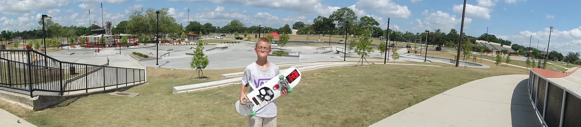
BREC Skate Park0.3 mi
Trails nearby
BMX Raceway0.2 mi
Baton Rouge Velodrome0.3 mi
University buildings nearby
Saint Francis Hall0.3 mi
Student Services0.3 mi
Student Resource Annex0.4 mi
School of Health Professions0.4 mi
Waters nearby
Perkins Road Fishing Pond0.3 mi
Public transit map Baton Rouge Legend
| Railway | |
| Bus | |
| Streetcar |
Bicycle map Baton Rouge Legend
| Bike path | |
| Bike lane on roadway | |
| Cycling allowed on bus lane | |
| Bicycle street | |
| Open to cyclists | |
| Open to cyclists, good path | |
| Cycling prohibited | |
| Cobblestone |
| Long-distance bike route | (depending on scale) | |
| Long-distance bike route |
Pedestrian map Baton Rouge Legend
| Path |
| Long-distance hiking trail | (depending on scale) | |
| Long-distance hiking trail | ||
| Pedestrians prohibited |