
Bronco Lane in Zachary, Louisiana
Bronco Lane in Zachary is a residential street and runs in a north-south direction starting from Young Street and ends at Church Street.
- Road Type
- residential street
- Route
- north-south
Image
Fast food restaurants
Gas stations
Pharmacies
Cell phone stores
Schools
Fire stations
Police stations
Auto repair shops
Places of worship
Restaurants
Museums
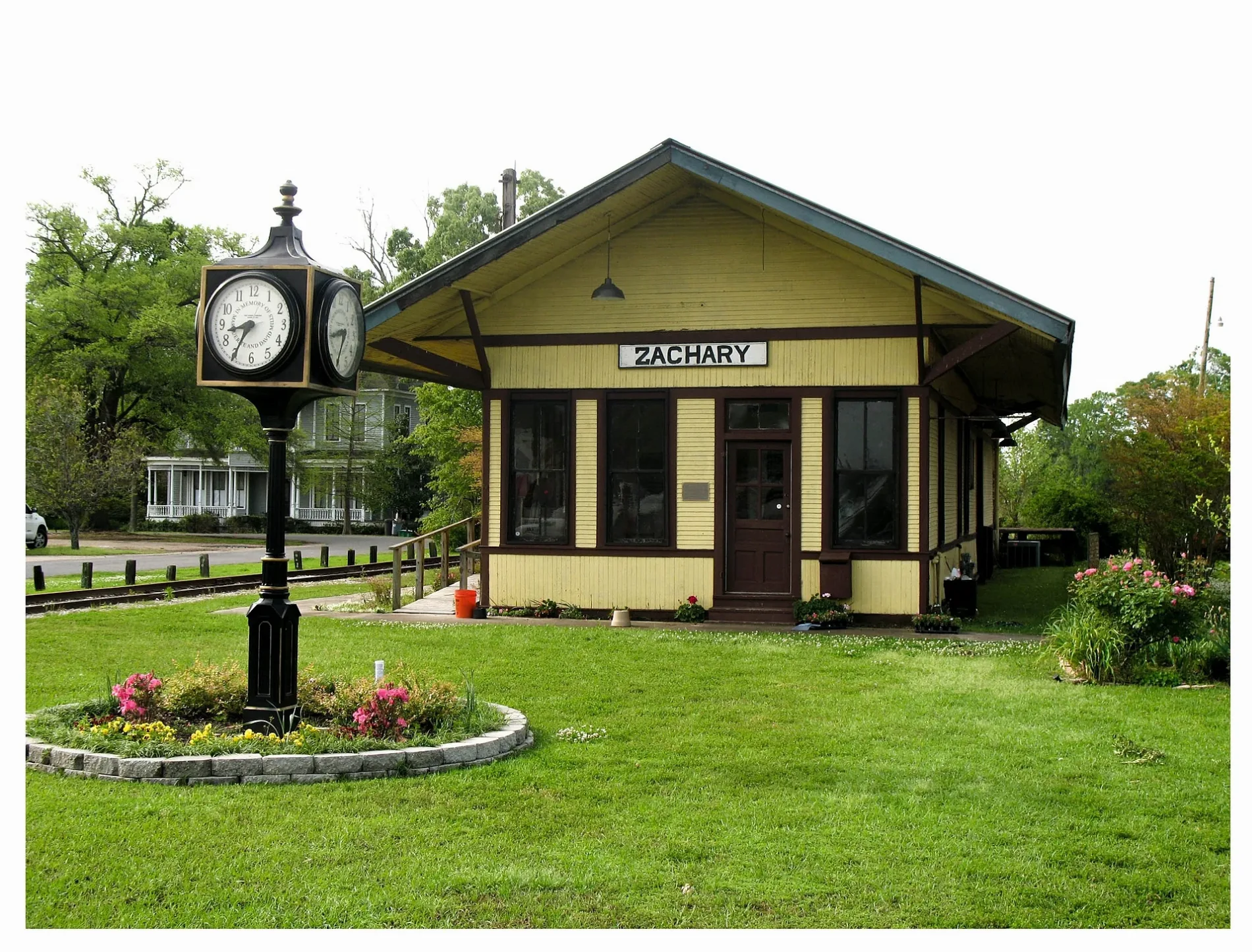
- Zachary Train Depot (Web) (70791) – approx. 0.3 mi.
Town halls
Hardware stores
Streets nearby
42nd StreetFirst Baptist Church, First Baptist Preschool
150 ft
Young StreetZachary United Methodist Church
350 ft
40th Street0.1 mi
41st Street0.1 mi
High StreetPizza Hut
0.2 mi
Loudon Street0.2 mi
Ada Street0.2 mi
Mills Street0.2 mi
Church StreetZachary Presbyterian Church, Trinity Christian Academy School, Little Star Baptist Church, Zachary Branch Library
0.2 mi
West Central AvenueZachary Train Depot
0.2 mi
Bennett Street0.2 mi
West Mae Street0.3 mi
North Street0.3 mi
38th Street0.3 mi
North Main Street0.3 mi
Cobb Street0.3 mi
Main StreetZachary, Zachary Police Department - Records Clerk, Zachary Mayor's Office, Zachary Volunteer Fire / Rescue Station 80, Waffle House, Cricket Wireless, AT&T, Sonic, Burger King, Exxon, McDonald's, Fred
0.3 mi
37th Street0.3 mi
East Central AvenueZachary Fire Department
0.3 mi
Creek Valley Drive0.3 mi
Myrtle Hill Avenue0.3 mi
Nelson Street0.3 mi
Florida Street0.3 mi
Virginia Street0.3 mi
Stewart Street0.3 mi
Morgan Lane0.3 mi
Bozeman Street0.4 mi
Jim East Avenue0.4 mi
Prairieview Drive0.4 mi
Marshall Street0.4 mi
Westwood Drive0.4 mi
Lee Street0.4 mi
Albert East Boulevard0.4 mi
Louise Street0.4 mi
Burt Drive0.4 mi
East Meadow Court0.4 mi
Robert Street0.4 mi
Cherry Court0.5 mi
Cherry Street0.5 mi
Lois Drive0.5 mi
Cypress Street0.5 mi
Oak Hills Street0.5 mi
39th Street0.5 mi
Lane Avenue0.5 mi
Noble Street0.5 mi
Baker Avenue0.6 mi
Chestnut Street0.6 mi
Public transit map Zachary Legend
| Railway | |
| Bus | |
| Streetcar |
Bicycle map Zachary Legend
| Bike path | |
| Bike lane on roadway | |
| Cycling allowed on bus lane | |
| Bicycle street | |
| Open to cyclists | |
| Open to cyclists, good path | |
| Cycling prohibited | |
| Cobblestone |
| Long-distance bike route | (depending on scale) | |
| Long-distance bike route |
Pedestrian map Zachary Legend
| Path |
| Long-distance hiking trail | (depending on scale) | |
| Long-distance hiking trail | ||
| Pedestrians prohibited |