
Scott Drive in Ruston, Louisiana
Scott Drive in Ruston is a residential street. It runs in a north-south direction starting from West Alabama Avenue. Scott Drive also exists in Caddo Parish, St. Tammany Parish, Allen Parish, Ouachita Parish and Rapides Parish.
- Road Type
- residential street
- Route
- north-south
Image
Gas stations
Banks
Police stations
Post offices
Cell phone stores
Fast food restaurants
Convenience stores
Schools
Theaters
Restaurants
Artworks
Cafes
Beauty salons
Public bookcases
Streets nearby
West Alabama AvenueNo. 9 Books & Records, Creative Exchange
200 ft
Stadium CircleSarah and A.L. Williams Champions Plaza
0.1 mi
College Hill Drive0.2 mi
Penny Lane0.2 mi
Bulldog Drive0.2 mi
Turner Street0.2 mi
University Street0.3 mi
Snowden Street0.3 mi
Elizabeth Avenue0.3 mi
Ragan Street0.3 mi
West Railroad Avenue0.3 mi
Bold Street0.3 mi
Ellis Avenue0.3 mi
Stadium Boulevard0.3 mi
West Barnett Springs Avenue0.4 mi
Tech DriveRichardson Station, Pizza Hut, La Capitol Federal Credit Union
0.4 mi
Pinewood LaneUniversity Hills
0.4 mi
Robert StreetLittle Free Library
0.4 mi
University Boulevard0.4 mi
Mayfield AvenueA E Phillips Laboratory School
0.4 mi
Pine Lane0.4 mi
Westwood Drive0.5 mi
Shelor Drive0.5 mi
Apartment buildings nearby
C0.3 mi
Buildings nearby
Joe Ailet Field House & Charles Wyly Athletics Center0.2 mi
Davison Athletic Complex0.2 mi
Origin Bank Softball & Soccer Complex0.3 mi
South Hall0.5 mi
Covered areas nearby
Argent Pavilion0.2 mi
Dormitories nearby
Cottingham Hall0.3 mi
Richardson Hall0.3 mi
Mitchell Hall0.4 mi
Neilson Commons B0.4 mi
Sutton Commons E0.4 mi
Parks nearby
Garland Gregory Hideaway Park0.2 mi
Places of worship nearby
New Living Word Ministry0.3 mi
Episcopal Church of the Redeemer0.5 mi
Railways nearby
CPKC Vicksburg Subdivision0.4 mi
Residential areas nearby
Penny Lane Apartments0.2 mi
Residential buildings nearby
Neilson Commons C0.4 mi
Neilson Commons A0.4 mi
Neilson Commons D0.4 mi
Sports fields nearby
Dr. Billy Bundrick Softball Field0.3 mi
Stadiums nearby
Samuel M. Thomas Assembly Center500 ft
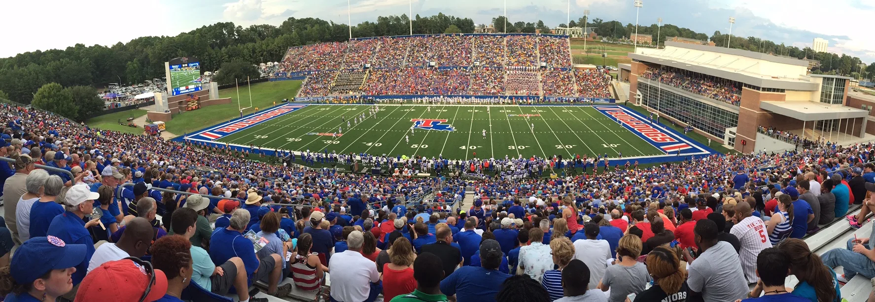
Joe Aillet Stadium0.1 mi
J. C. Love Field at Pat Patterson Park0.4 mi
University buildings nearby
Memorial Gymnasium0.4 mi
F. Jay Taylor Visual Arts Center0.5 mi
Woodard Hall0.5 mi
 Public transit map Ruston Legend
| Railway | |
| Bus | |
| Streetcar |
 Bicycle map Ruston Legend
| Bike path | |
| Bike lane on roadway | |
| Cycling allowed on bus lane | |
| Bicycle street | |
| Open to cyclists | |
| Open to cyclists, good path | |
| Cycling prohibited | |
| Cobblestone |
| Long-distance bike route | (depending on scale) | |
| Long-distance bike route |
 Pedestrian map Ruston Legend
| Path |
| Long-distance hiking trail | (depending on scale) | |
| Long-distance hiking trail | ||
| Pedestrians prohibited |