
West Alabama Avenue in Ruston, Louisiana
West Alabama Avenue in Ruston is a four-lane, concrete secondary road (also known as State Route 150). It runs in an east-west direction starting from Martin Luther King Jr Avenue and crosses Peaks Raj Lane, North Maple Street, Kennon Lane, Rich Smith Lane, Goyne Street, Bulldog Drive, Penny Lane, Scott Drive, Stadium Circle, Tech Drive and Western Street. West Alabama Avenue is also known as State Route 150. This street is part of the highway "150". Nearby there is among others an art gallery.
- Alternate Name
- State Route 150
- Bicycle
- no
- Road Type
- secondary road
- Lanes
- 4
- Speed Limit
- 45 mph
- Postal Code
- 71270
- Route
- east-west
Image
Art galleries
Streets nearby
Scott Drive200 ft
Stadium CircleSarah and A.L. Williams Champions Plaza
550 ft
Penny Lane0.2 mi
Bulldog Drive0.2 mi
College Hill Drive0.2 mi
Westwood Drive0.2 mi
West Railroad Avenue0.3 mi
Stadium Boulevard0.3 mi
Tech DrivePizza Hut, La Capitol Federal Credit Union, Richardson Station
0.4 mi
Edwards DriveOneMain Financial
0.4 mi
Bearcat Drive0.4 mi
Shops nearby
Optimum0.4 mi
Apartment buildings nearby
A0.2 mi
B0.3 mi
C0.3 mi
D0.3 mi
G0.3 mi
E0.3 mi
F0.3 mi
Auto repair shops nearby
Take 5 Oil Change0.5 mi
Banks nearby
Origin Bank0.5 mi
Buildings nearby
Joe Ailet Field House & Charles Wyly Athletics Center0.2 mi
Davison Athletic Complex0.2 mi
Origin Bank Softball & Soccer Complex0.3 mi
Car washes nearby
Chevron0.5 mi
Convenience stores nearby
U-PAK-IT0.5 mi
Covered areas nearby
Argent Pavilion0.1 mi
Dormitories nearby
Cottingham Hall0.3 mi
Fast food restaurants nearby
Domino's0.4 mi
Subway0.5 mi
Smoothie King0.5 mi
Fitness centers nearby
Lambright Sports & Wellness Center0.4 mi
Houses nearby
President's Home0.3 mi
Motels nearby
Super 80.5 mi
Parks nearby
Garland Gregory Hideaway Park0.2 mi
Places of worship nearby
Temple Baptist Church0.5 mi
Residential areas nearby
Penny Lane Apartments0.2 mi
Highland Oaks Apartments0.3 mi
Residential buildings nearby
Neilson Commons C0.4 mi
Neilson Commons A0.4 mi
Neilson Commons D0.4 mi
Restaurants nearby
Johnny's Pizza House0.5 mi
Retail buildings nearby
Highland Oaks Shopping Center0.4 mi
Sports fields nearby
Dr. Billy Bundrick Softball Field0.3 mi
Dr. Robert Caruthers Soccer Field0.3 mi
Stadiums nearby
Samuel M. Thomas Assembly Center300 ft
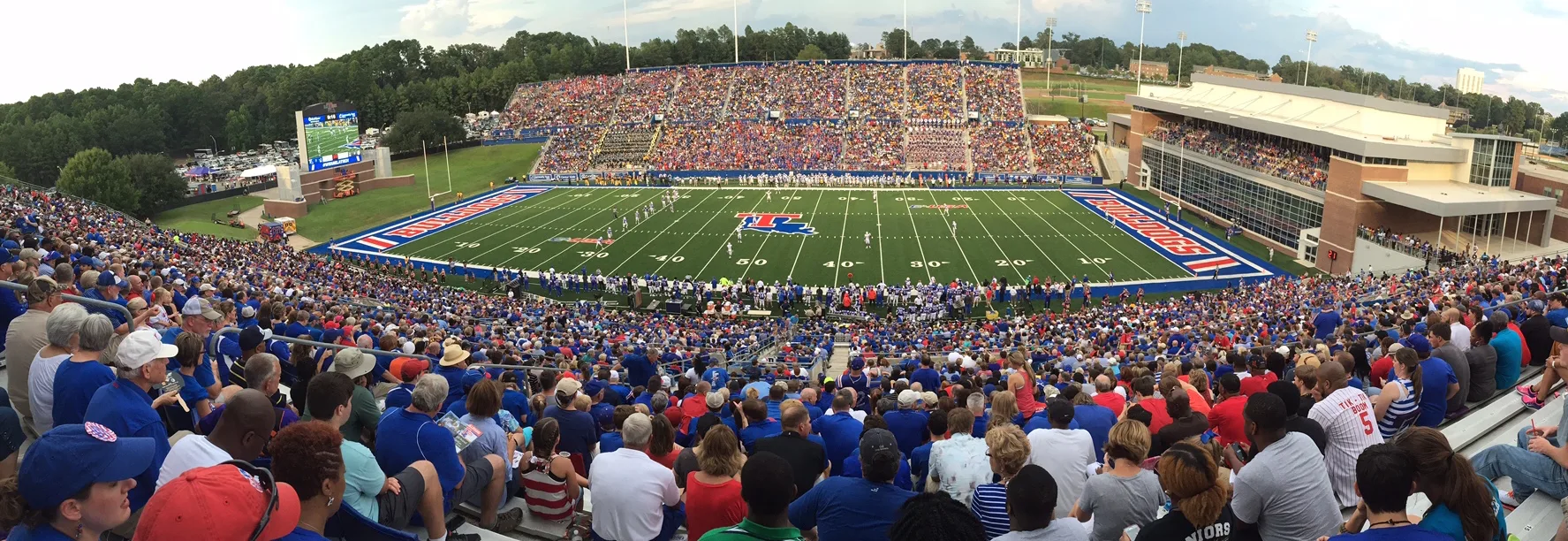
Joe Aillet Stadium550 ft
J. C. Love Field at Pat Patterson Park0.4 mi
University buildings nearby
Marbury Alumni Center0.4 mi
 Public transit map Ruston Legend
| Railway | |
| Bus | |
| Streetcar |
 Bicycle map Ruston Legend
| Bike path | |
| Bike lane on roadway | |
| Cycling allowed on bus lane | |
| Bicycle street | |
| Open to cyclists | |
| Open to cyclists, good path | |
| Cycling prohibited | |
| Cobblestone |
| Long-distance bike route | (depending on scale) | |
| Long-distance bike route |
 Pedestrian map Ruston Legend
| Path |
| Long-distance hiking trail | (depending on scale) | |
| Long-distance hiking trail | ||
| Pedestrians prohibited |