
South Homer Street in Ruston, Louisiana
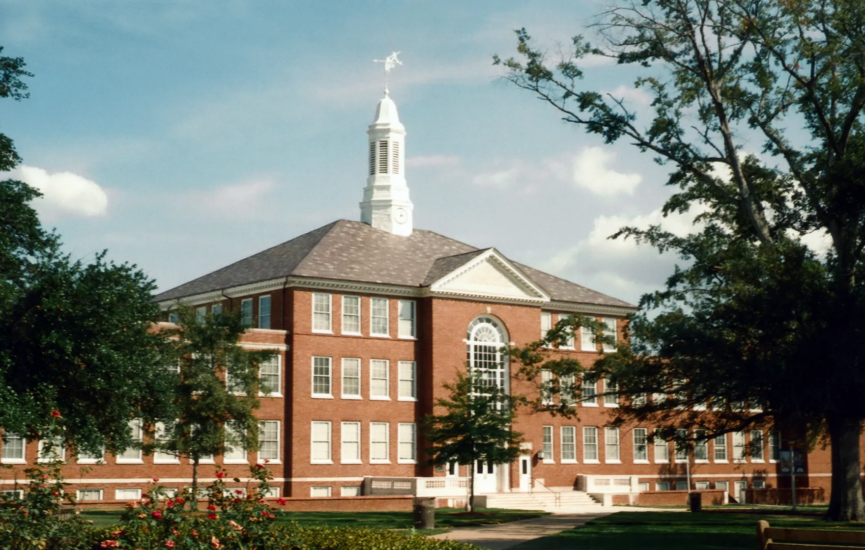
South Homer Street in Ruston is a two-lane, asphalted unclassified road. No bike lane available. It runs in a north-south direction starting from North Homer Street and crosses West Louisiana Avenue, West Texas Avenue and Dan Reneau Avenue and ends at West California Avenue.
- Road Type
- unclassified road
- Lanes
- 2
- Speed Limit
- 25 mph
- Route
- north-south
Image
Gas stations
Hair salons
Post offices
Vape shops
Schools
Fast food restaurants
Pharmacies
Theaters
Cafes
Antique stores
Artworks
Convenience stores
Restaurants
Community centers
Cell phone stores
Bus stops
Streets nearby
College Street300 ft
Adams BoulevardHoward Auditorium
0.1 mi
Rock Island Greenway0.2 mi
Henderson Street0.2 mi
Adams Street0.2 mi
West California AvenueTeriyaki, Cricket Wireless, California Smoke Shop, Conoco, Walmart, Exxon, Shell, Barnet Springs
0.3 mi
West Line Avenue0.3 mi
Spirit Park0.3 mi
Bond Street0.3 mi
Apartment buildings nearby
Harper Commons A450 ft
Harper Commons B0.1 mi
Pearce Commons C0.1 mi
Pearce Commons B0.1 mi
Harper Commons C0.1 mi
Pearce Commons A0.1 mi
Robinson Suites (A and B)0.2 mi
Robinson Suites C0.2 mi
Buildings nearby
Centennial Tower0.2 mi
Commercial buildings nearby
Vision Reality, Inc.0.3 mi
Construction sites nearby
Global Student Housing0.2 mi
Convenience stores nearby
Tech Mart0.3 mi
Dormitories nearby
Graham Hall0.1 mi
Adams0.2 mi
Aswell0.2 mi
Dudley Hall0.2 mi
Fast food restaurants nearby
Popeyes0.2 mi
Sonic0.2 mi
Subway0.2 mi
Griff's Hamburgers0.3 mi
Hair salons nearby
Thompson's Barber Shop0.2 mi
Places of worship nearby
Pilgrim Rest Baptist Church0.3 mi
Mays Chapel Christian Methodist Episcopal Church0.3 mi
Rental services nearby
Audio Concepts0.3 mi
Residential areas nearby
Campus Commons0.3 mi
University Commons II0.3 mi
Residential buildings nearby
Potts Suites A0.2 mi
Restaurants nearby
Sam's Southern Eatery0.2 mi
In-N-Out Donuts0.3 mi
Technical colleges nearby
Nethken Hall250 ft
Bogard Hall550 ft
Tire dealers nearby
Ruston Tires & Rims0.2 mi
University buildings nearby
Tech Pointe I250 ft
Tech Pointe II250 ft
Engineering Annex400 ft
Carson-Taylor Hall0.1 mi
Keeny Hall0.1 mi
Howard Center for the Performing Arts0.2 mi
Adams Hall Classrooms0.2 mi
Davison Hall0.3 mi
Public transit map Ruston Legend
| Railway | |
| Bus | |
| Streetcar |
Bicycle map Ruston Legend
| Bike path | |
| Bike lane on roadway | |
| Cycling allowed on bus lane | |
| Bicycle street | |
| Open to cyclists | |
| Open to cyclists, good path | |
| Cycling prohibited | |
| Cobblestone |
| Long-distance bike route | (depending on scale) | |
| Long-distance bike route |
Pedestrian map Ruston Legend
| Path |
| Long-distance hiking trail | (depending on scale) | |
| Long-distance hiking trail | ||
| Pedestrians prohibited |