
North Homer Street in Ruston, Louisiana
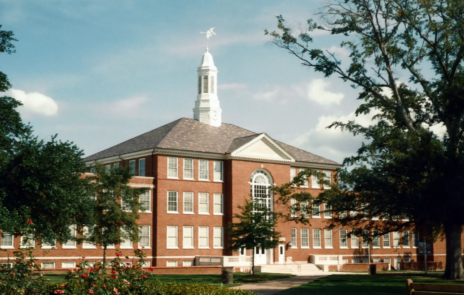
North Homer Street in Ruston is a two-lane, asphalted unclassified road. No sidewalks. It runs in a north-south direction starting from West Carolina Avenue and crosses West Florida Avenue, West Georgia Avenue, West Alabama Avenue and West Mississippi Avenue and ends at South Homer Street.
- Road Type
- unclassified road
- Lanes
- 2
- Speed Limit
- 25 mph
- Route
- north-south
Image
Convenience stores
Community centers
Arts centers
Bakeries
Restaurants
Museums
- Lincoln Parish Museum (opening hours: " by appointment", Web) at North Vienna Street 609 (71270) – approx. 0.4 mi.
Fast food restaurants
Clothing stores
Antique stores
Post offices
Event venues
Hair salons
Artworks
Art galleries
Theaters
Cafes
Gas stations
Streets nearby
West Mississippi AvenueThe Buzz Barbershop, Kappa Sigma, Ruston
150 ft
Everett Street0.1 mi
West Alabama AvenueNo. 9 Books & Records, Creative Exchange
0.2 mi
Keeny Circle0.2 mi
Aspire PlazaAspire
0.2 mi
James Street0.2 mi
Adams BoulevardHoward Auditorium
0.3 mi
South Homer Street0.3 mi
College Street0.3 mi
West Railroad Avenue0.3 mi
Apartment buildings nearby
Highland Court300 ft
Hutcheson Commons C0.1 mi
Hutcheson Commons B0.1 mi
McFarland Commons C0.1 mi
Hutcheson Commons E0.1 mi
Hutcheson Commons D0.1 mi
Hutcheson Commons A0.1 mi
McFarland Commons A0.1 mi
McFarland Commons B0.1 mi
Jenkins Commons C0.2 mi
Jenkins Commons B0.2 mi
Jenkins Commons D0.2 mi
Jenkins Commons A0.2 mi
Robinson Suites (A and B)0.3 mi
Robinson Suites C0.3 mi
Bars nearby
The Dawg House Sports Grill400 ft
Bookstores nearby
Barnes & Noble0.3 mi
Buildings nearby
Centennial Tower0.3 mi
Churches nearby
Baptist Collegiate Ministry0.2 mi
Community centers nearby
Pi Kappa Phi550 ft
Delta Chi0.1 mi
Sigma Nu0.3 mi
Laundries nearby
Washateria350 ft
Campus Washateria0.1 mi
Libraries nearby
Prescott Memorial Library0.2 mi
Places of worship nearby
Awakening Collegiate Fellowship550 ft
Residential areas nearby
Twin Oaks450 ft
Steeple's Glen550 ft
University Apartments0.1 mi
Technical colleges nearby
College of Business Building0.2 mi
Bogard Hall0.3 mi
University buildings nearby
Robert H. Rawle Enterprise Center350 ft
University Hall0.2 mi
Wyly Tower of Learning0.2 mi
Keeny Hall0.3 mi
Tech Pointe I0.3 mi
Engineering Annex0.3 mi
Carson-Taylor Hall0.3 mi
Howard Center for the Performing Arts0.3 mi
Public transit map Ruston Legend
| Railway | |
| Bus | |
| Streetcar |
Bicycle map Ruston Legend
| Bike path | |
| Bike lane on roadway | |
| Cycling allowed on bus lane | |
| Bicycle street | |
| Open to cyclists | |
| Open to cyclists, good path | |
| Cycling prohibited | |
| Cobblestone |
| Long-distance bike route | (depending on scale) | |
| Long-distance bike route |
Pedestrian map Ruston Legend
| Path |
| Long-distance hiking trail | (depending on scale) | |
| Long-distance hiking trail | ||
| Pedestrians prohibited |