
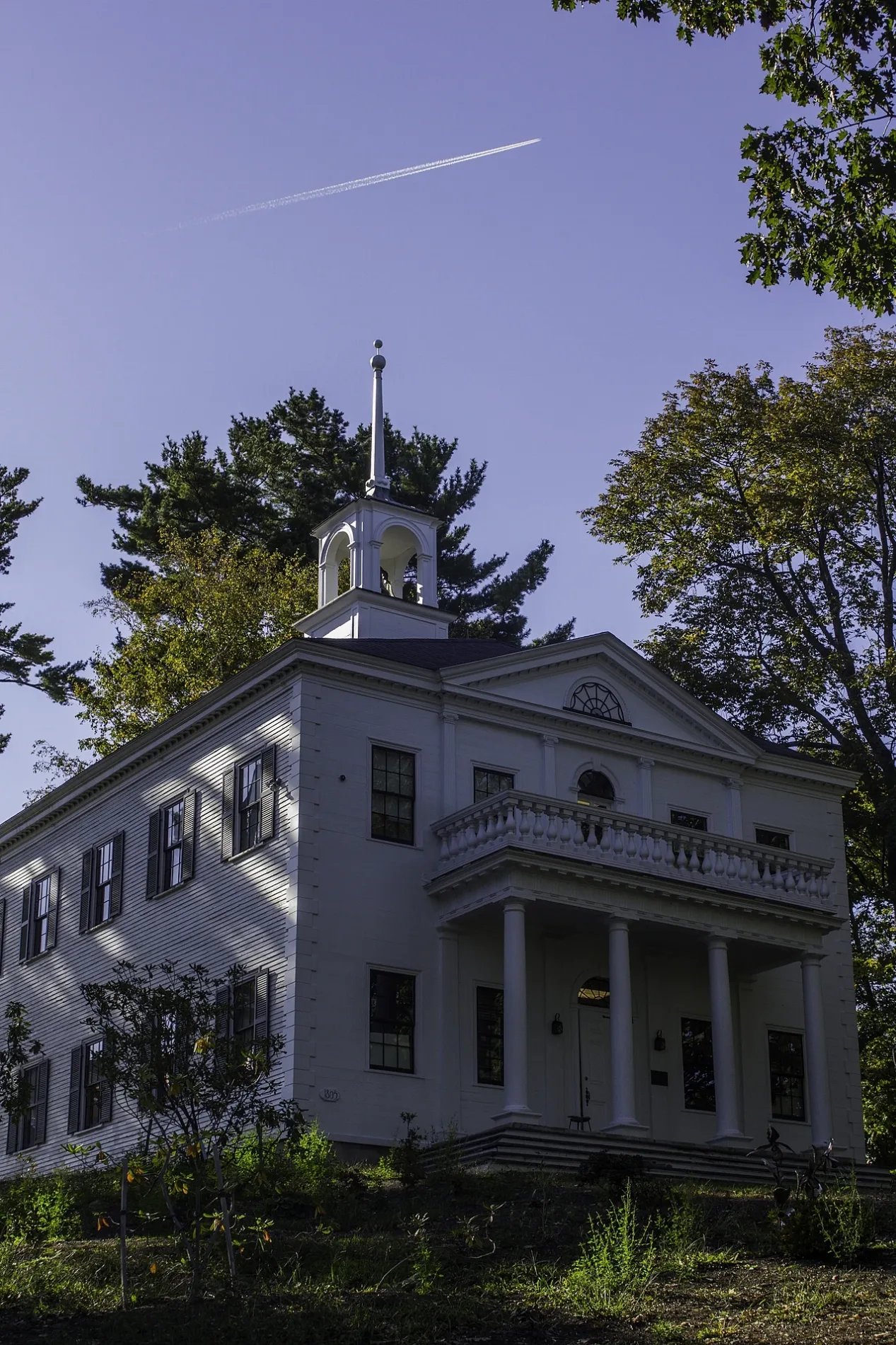
Church Street in Gorham, Maine
Church Street in Gorham is an asphalted residential street. It runs in a northeast-southwest direction starting from School Street and crosses Cross Street and ends at Water Street. Church Street also exists in Portland, Westbrook, South Portland, Yarmouth and Bridgton.
- Road Type
- residential street
- Route
- northeast-southwest
Image
Places of worship
Bars
Furniture stores
Music schools
Bus stops
Tourist information centers
Event venues
Fast food restaurants
Animal boardings
Artworks
Restaurants
Charging stations
Gift shops
Gas stations
Streets nearby
Cross Street200 ft
Main StreetMosher Corner, St. Anne's Church, 784, 785
400 ft
South StreetChargePoint, Amato's, South Gorham
0.1 mi
Millett Drive0.1 mi
State StreetMK Kitchen, Gorham House of Pizza
0.1 mi
College Avenue0.1 mi
School StreetSchool Street United Methodist Church, Gorham, Erin Flett, Spire 29, Azul Tequila
0.1 mi
Preble Street0.2 mi
Prince McLellan Road0.2 mi
Green Street0.2 mi
Academy Street0.3 mi
Pine Street0.3 mi
University Way783, Wire Globe
0.3 mi
Narragansett Street0.3 mi
Alden Lane0.3 mi
Lombard Street0.3 mi
Fall Lane0.3 mi
Apartment buildings nearby
Ridgewood Apartments0.1 mi
Arts centers nearby
Gorham Arts Alliance400 ft
Buildings nearby
Academy Building0.1 mi
Corthell Hall0.2 mi
Presidents House0.2 mi
Theatre Department0.3 mi
Cemeteries nearby
South Street Cemetery0.2 mi
Community centers nearby
Gorham Rec Center0.1 mi
Convenience stores nearby
7-Eleven300 ft
Galleries nearby
Art Gallery0.2 mi
Houses nearby
Trio Program500 ft
Parks nearby
Heirloom Apple Orchard0.1 mi
Joe B. Parks Rhododendron Garden0.1 mi
Phinney Park0.2 mi
Upton Courtyard0.2 mi
University of Southern Maine Hedges0.2 mi
Grassy Commons0.2 mi
Corthell Park0.3 mi
Places of worship nearby
First Parish Congregational Church150 ft
Retail buildings nearby
Maine Micro Artisans0.1 mi
Raney's Laundromat0.1 mi
Sports fields nearby
Hodgdon Field0.3 mi
Theaters nearby
Russell Hall0.2 mi
University buildings nearby
Applied Energy Laboratory0.1 mi
Robie-Andrews Hall0.1 mi
Printmaking Studio0.2 mi
Art Drawing Classroom0.2 mi
Upton Hastings Hall0.2 mi
Brooks Student Center0.2 mi
Woodward Hall0.3 mi
Anderson Hall0.3 mi
Bailey Hall0.3 mi
 Public transit map Gorham Legend
| Railway | |
| Bus | |
| Streetcar |
 Bicycle map Gorham Legend
| Bike path | |
| Bike lane on roadway | |
| Cycling allowed on bus lane | |
| Bicycle street | |
| Open to cyclists | |
| Open to cyclists, good path | |
| Cycling prohibited | |
| Cobblestone |
| Long-distance bike route | (depending on scale) | |
| Long-distance bike route |
 Pedestrian map Gorham Legend
| Path |
| Long-distance hiking trail | (depending on scale) | |
| Long-distance hiking trail | ||
| Pedestrians prohibited |