
Preble Street in Gorham, Maine
Preble Street in Gorham is an asphalted residential street. The street has a sidewalk. It runs in a northeast-southwest direction starting from South Street and ends at Elm Street. Preble Street also exists in Portland and South Portland.
- Road Type
- residential street
- Route
- northeast-southwest
Image
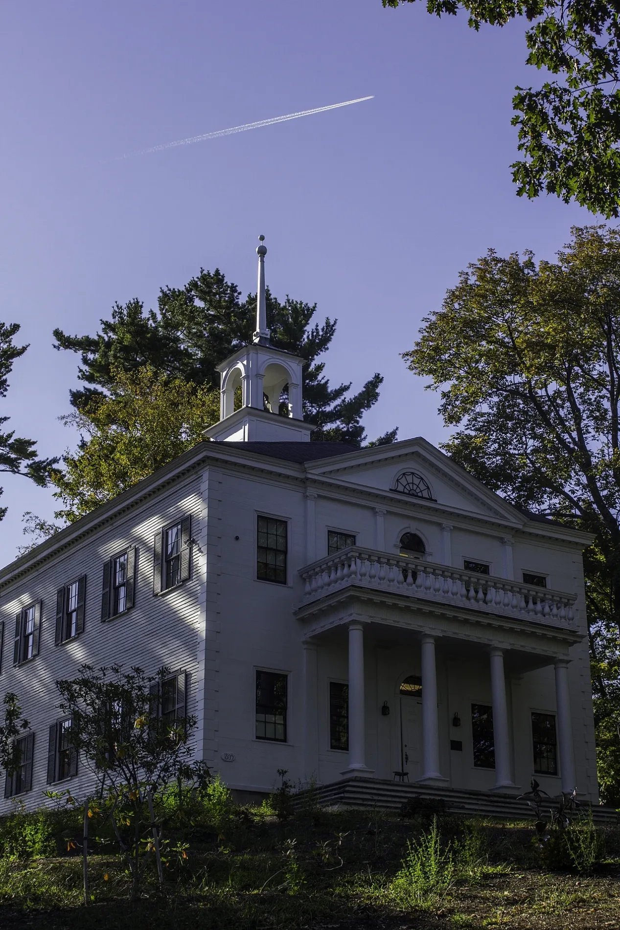
Places of worship
Fast food restaurants
Event venues
Music schools
Bus stops
Tourist information centers
Furniture stores
Bars
Animal boardings
Artworks
Charging stations
Restaurants
Gift shops
Gas stations
Streets nearby
South StreetChargePoint, Amato's, South Gorham
400 ft
State StreetMK Kitchen, Gorham House of Pizza
450 ft
School StreetGorham, Erin Flett, Spire 29, Azul Tequila, School Street United Methodist Church
0.1 mi
Lincoln Street0.1 mi
Elm StreetThird Space Market
0.1 mi
Cross Street0.1 mi
Church Street0.2 mi
Robie Street0.2 mi
Highland Avenue Extension0.2 mi
Railroad AvenueGorham School of Music
0.2 mi
Water Street0.2 mi
New Portland Road0.3 mi
Mechanic Street0.3 mi
Post Office Square0.3 mi
Woodside Drive0.3 mi
Natalee Drive0.3 mi
Main StreetMosher Corner, St. Anne's Church, 784, 785
0.4 mi
Glenwood Avenue0.4 mi
Pinecone Lane0.4 mi
Dogwood Lane0.4 mi
Old Oak Lane0.4 mi
Grove Street0.4 mi
Landing Drive0.4 mi
Buildings nearby
Cook's Hardware0.1 mi
Arts centers nearby
Gorham Arts Alliance0.1 mi
Auto repair shops nearby
Carter's Auto Repair0.1 mi
Banks nearby
KeyBank0.1 mi
Norway Savings Bank0.1 mi
Gorham Savings Bank0.2 mi
TD Bank0.2 mi
Buildings nearby
Station Square0.2 mi
Cemeteries nearby
South Street Cemetery250 ft
Community centers nearby
Gorham Rec Center200 ft
Convenience stores nearby
7-Eleven0.1 mi
Cumberland Farms0.3 mi
Drugstores nearby
Walgreens0.3 mi
Fast food restaurants nearby
Burger King0.3 mi
Mr. Bagel0.3 mi
Libraries nearby
Baxter Memorial Library0.1 mi
Office buildings nearby
Party Time Rentals0.1 mi
Parks nearby
Phinney Park250 ft
Places of worship nearby
First Parish Congregational Church0.2 mi
Post offices nearby
Gorham Post Office0.3 mi
Restaurants nearby
Sebago Brewing Company0.2 mi
Retail buildings nearby
Raney's Laundromat300 ft
Maine Micro Artisans350 ft
Sports fields nearby
Upper Fields0.4 mi
Supermarkets nearby
Hannaford0.2 mi
Thrift stores nearby
Goodwill0.3 mi
 Public transit map Gorham Legend
| Railway | |
| Bus | |
| Streetcar |
 Bicycle map Gorham Legend
| Bike path | |
| Bike lane on roadway | |
| Cycling allowed on bus lane | |
| Bicycle street | |
| Open to cyclists | |
| Open to cyclists, good path | |
| Cycling prohibited | |
| Cobblestone |
| Long-distance bike route | (depending on scale) | |
| Long-distance bike route |
 Pedestrian map Gorham Legend
| Path |
| Long-distance hiking trail | (depending on scale) | |
| Long-distance hiking trail | ||
| Pedestrians prohibited |