
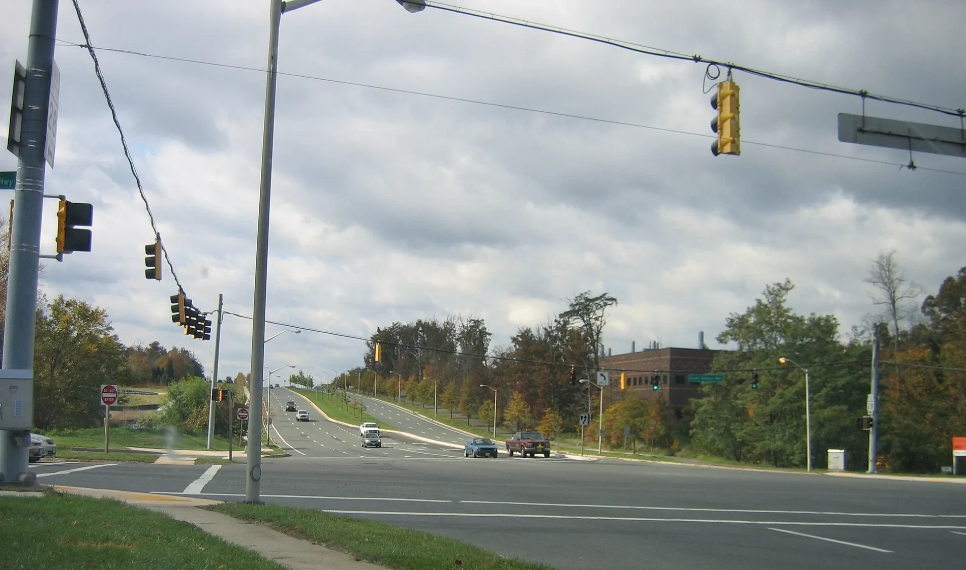
Decoverly Drive in Montgomery County, Maryland
Decoverly Drive in Montgomery County is a two-lane local road. It runs in a northeast-southwest direction starting from Great Seneca Highway and crosses Diamondback Drive, Oakdale Drive, Skyhill Way, Steinbeck Avenue, Crown Park Avenue and Rockwell Avenue and ends at Fields Road. It connects Montgomery County and Gaithersburg. The nearest stops are Decoverly Dr & Great Seneca Hwy and Decoverly Dr & Diamondback Dr. The bus lines 74 and LIME serve this stop.
- Road Type
- local road
- Lanes
- 2
- Route
- northeast-southwest
Image
Bus stops
- bus lines 74, LIME
Streets nearby
Great Seneca Highway SidepathTravilah Fire Station 32
450 ft
Sterling Drive450 ft
Sterling Court0.1 mi
Diamondback DriveKey West Ave and Diamondback Dr
0.1 mi
Gable Ridge Terrace0.1 mi
Foxborough Circle0.1 mi
Sterling Terrace0.2 mi
Gable Ridge Court0.2 mi
Vanderbilt Court0.2 mi
Great Seneca HighwayMattress Warehouse, Subway, Baskin-Robbins, Fountain Hills
0.2 mi
Key West AvenueDunkin', Key West Ave and Siesta Key Way, Hunting Hill Church, Taco Bell
0.2 mi
Diamond Cove Terrace0.2 mi
Oakdale Drive0.3 mi
Vanderbilt Circle0.3 mi
Sam Eig Highway0.3 mi
Skyhill Way0.3 mi
Belward Campus Drive0.3 mi
Johns Hopkins Drive0.3 mi
Dispatch Street0.4 mi
Johns Hopkins Drive Sidepath0.4 mi
Salk Circle0.4 mi
Blackwell RoadThe Ridge School Montgomery County
0.4 mi
Swat Street0.4 mi
Reprise Terrace0.4 mi
Belinder Road0.4 mi
Reprise Drive0.4 mi
Steinbeck Avenue0.4 mi
Copley Circle0.4 mi
Curry Ford Lane0.4 mi
Ellington BoulevardCrown
0.5 mi
Mission Drive0.5 mi
Antioch Road0.5 mi
Buildings nearby
Precision Labs0.2 mi
Commercial areas nearby
DANAC Stiles Corporate Campus0.2 mi
Belward Research Campus0.2 mi
Commercial buildings nearby
Rockville Research Center at Belward South0.2 mi
Rockville Research Center at Belward North0.2 mi
Community centers nearby
Decoverly Community Pool0.2 mi
Dog parks nearby
Camden Bark Park0.3 mi
Farmyards nearby
Historic England-Crown Farm0.3 mi
Parks nearby
Crown Community Green0.4 mi
Residential areas nearby
Decoverly I0.2 mi
Decoverly IV0.3 mi
Key West Condominiums0.3 mi
Decoverly III0.4 mi
Crown Farm0.4 mi
Mission Hills0.4 mi
Washingtonian Towns0.4 mi
Sports fields nearby
Sports0.3 mi
 Public transit map Montgomery County Legend
| Railway | |
| Bus | |
| Streetcar |
 Bicycle map Montgomery County Legend
| Bike path | |
| Bike lane on roadway | |
| Cycling allowed on bus lane | |
| Bicycle street | |
| Open to cyclists | |
| Open to cyclists, good path | |
| Cycling prohibited | |
| Cobblestone |
| Long-distance bike route | (depending on scale) | |
| Long-distance bike route |
 Pedestrian map Montgomery County Legend
| Path |
| Long-distance hiking trail | (depending on scale) | |
| Long-distance hiking trail | ||
| Pedestrians prohibited |