
Salinger Place in Gaithersburg, Maryland
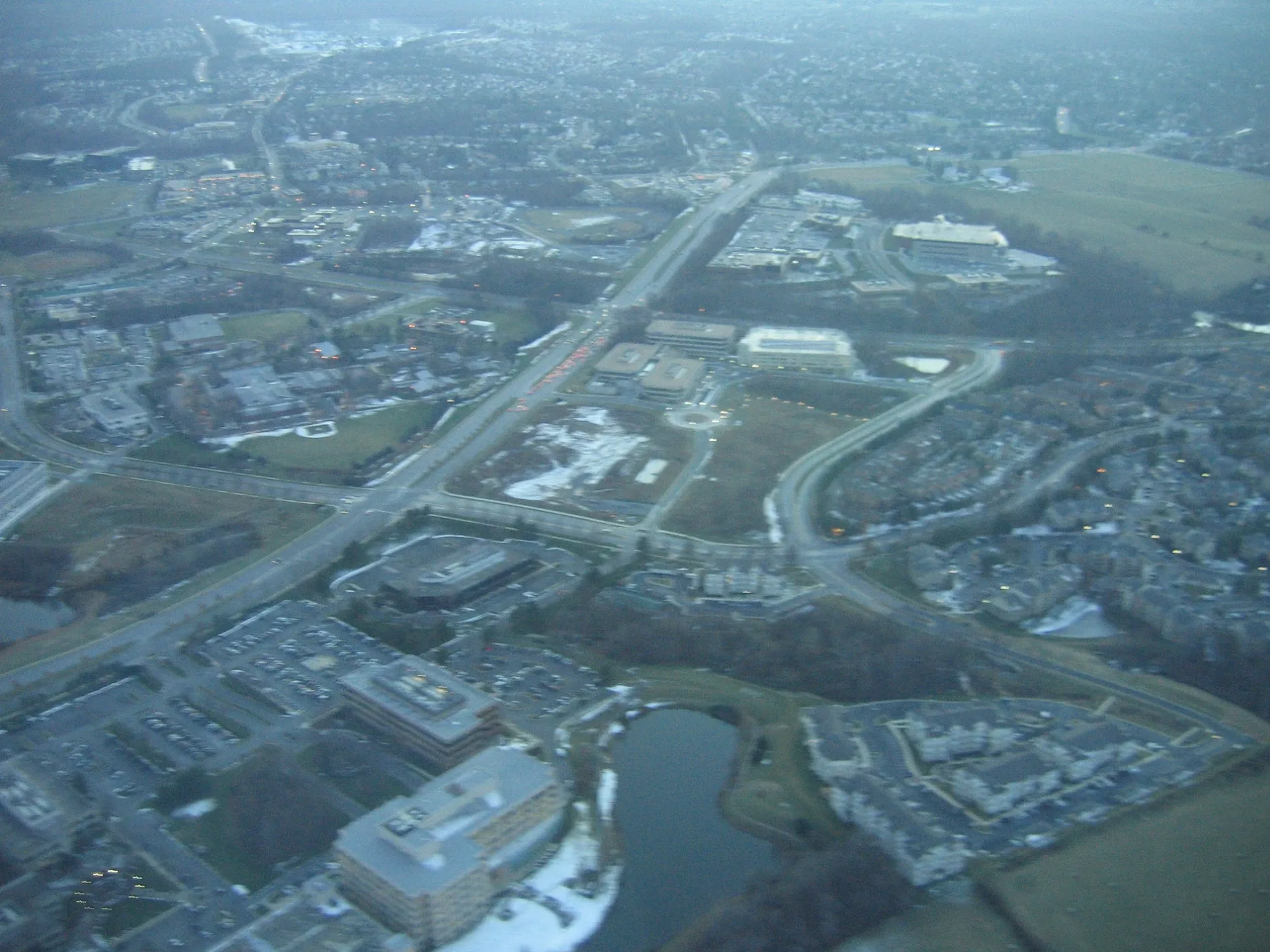
Salinger Place in Gaithersburg is a residential street (private). It runs in a northeast-southwest direction and crosses Vermeer Avenue, Rockwell Avenue, Armstrong Place, Bleeker Place and Crown Park Avenue. It ends in a cul-de-sac.
- Road Type
- service road
- Route
- northeast-southwest
Image
Artworks
Movie theaters
Restaurants
Bus stops
Dry cleaners
Fast food restaurants
Streets nearby
Crown Park AvenueInnovator's Park
200 ft
Bleeker Place350 ft
Armstrong Place400 ft
Dickenson Drive0.1 mi
Rockwell Avenue0.1 mi
Decoverly DriveInner Being
0.1 mi
Hemingway Drive0.1 mi
Skyhill Way0.2 mi
Strummer Lane0.2 mi
Athens Place0.2 mi
Hendrix Avenue0.2 mi
Goodall Street0.2 mi
Steinbeck Avenue0.2 mi
Fields RoadGallery Cafe, Fields Rd & Sam Eig Hwy, Shell, Washingtonian Cleaners
0.2 mi
Mahogany Circle0.2 mi
Diamondback DriveKey West Ave and Diamondback Dr
0.3 mi
Gable Ridge Court0.3 mi
Salk Circle0.3 mi
Baldwin Street0.3 mi
Mahogany Drive0.3 mi
Kepler Drive0.3 mi
Alcott Place0.3 mi
Shaw Place0.4 mi
Ellington BoulevardCrown
0.4 mi
Apartment buildings nearby
Washingtonian Tower Condominium0.3 mi
Cadence at Crown0.4 mi
Banks nearby
Navy Federal Credit Union0.4 mi
Beauty salons nearby
Glamorous Nails & Spa0.4 mi
Buildings nearby
Charles Schwab0.4 mi
Community centers nearby
Crown Community Amenity Building400 ft
Dentist's offices nearby
Crown Dental0.4 mi
Dog parks nearby
Bark Park0.4 mi
Farmyards nearby
Historic England-Crown Farm0.2 mi
Fast food restaurants nearby
&pizza0.4 mi
Indoor playgrounds nearby
The Little Gym0.4 mi
Parking lots nearby
B20.4 mi
Parks nearby
Crown Community Green0.3 mi
Downtown Crown Event Park0.3 mi
Recreation grounds nearby
Crown Community Center - The Retreat350 ft
Sawyer Flats Game and Lounge Area0.4 mi
Residential areas nearby
Crown Farm0.2 mi
Restaurants nearby
Mezeh Mediterranean Grill0.3 mi
Asia Nine0.4 mi
la Madeleine0.4 mi
Ted's Bulletin0.4 mi
El Güero Mexicano0.4 mi
Sixty Vines0.4 mi
Spicelife0.4 mi
Retail areas nearby
Downtown Crown0.3 mi
 Public transit map Gaithersburg Legend
| Railway | |
| Bus | |
| Streetcar |
 Bicycle map Gaithersburg Legend
| Bike path | |
| Bike lane on roadway | |
| Cycling allowed on bus lane | |
| Bicycle street | |
| Open to cyclists | |
| Open to cyclists, good path | |
| Cycling prohibited | |
| Cobblestone |
| Long-distance bike route | (depending on scale) | |
| Long-distance bike route |
 Pedestrian map Gaithersburg Legend
| Path |
| Long-distance hiking trail | (depending on scale) | |
| Long-distance hiking trail | ||
| Pedestrians prohibited |