
Vermeer Avenue in Gaithersburg, Maryland
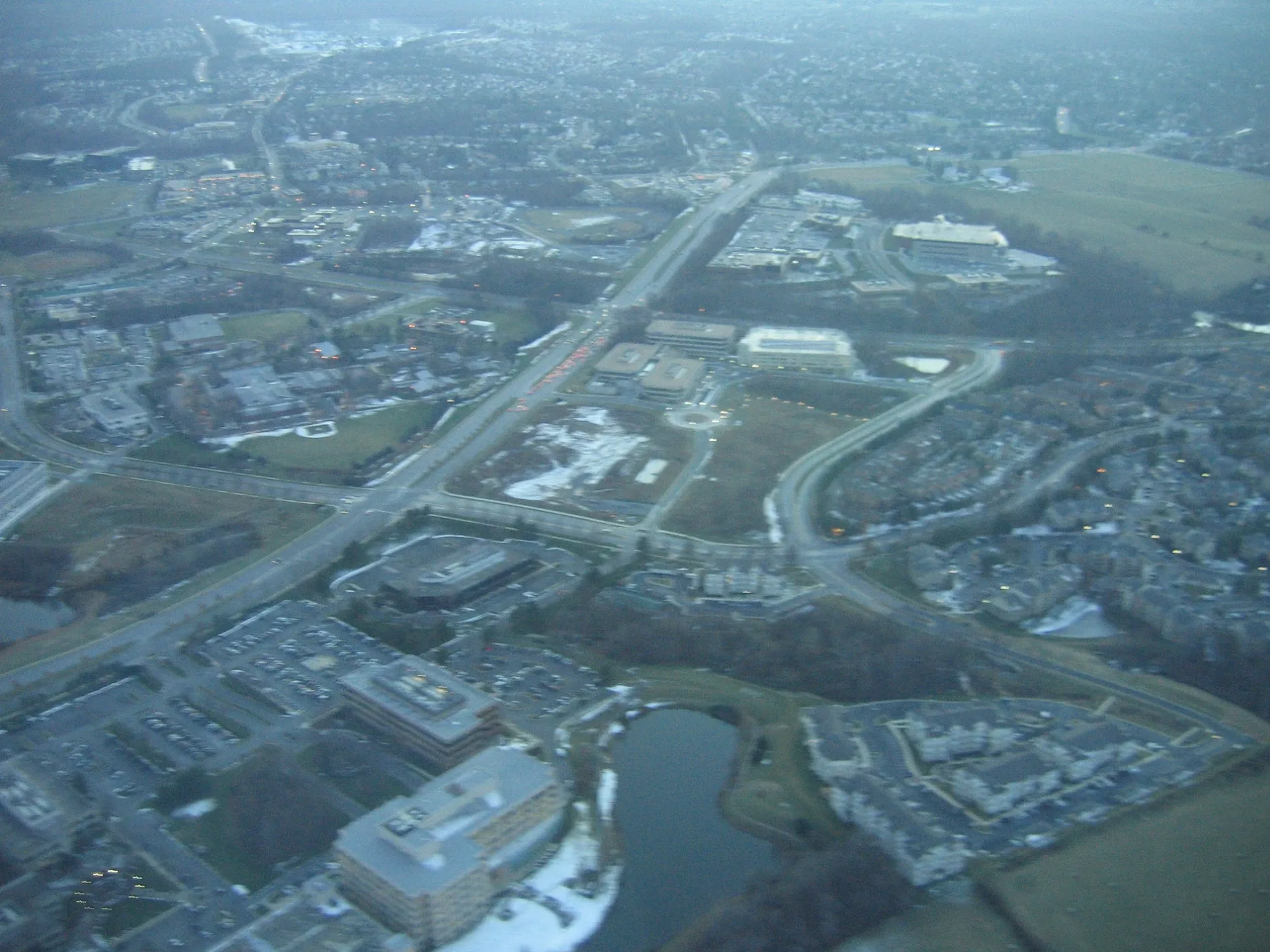
Vermeer Avenue in Gaithersburg is a residential street. It runs in an east-west direction starting from Salinger Place and crosses Dickenson Drive, Stowe Drive and Rubens Drive and ends at Morrison Drive.
- Road Type
- residential street
- Route
- east-west
Image
Artworks
Dry cleaners
Florists
Restaurants
Bus stops
Movie theaters
Fast food restaurants
Streets nearby
Stowe Drive400 ft
Rockwell Avenue450 ft
Dickenson Drive450 ft
Rubens Drive500 ft
Morrison Drive0.1 mi
Winners Drive0.1 mi
Armstrong Place0.1 mi
Athens Place0.1 mi
Sagan Place0.1 mi
Case Mews0.1 mi
Marathon Terrace0.1 mi
Marathon Circle0.1 mi
Case Street0.2 mi
Crown Park AvenueInnovator's Park
0.2 mi
Athletic Way0.2 mi
Decoverly DriveInner Being
0.2 mi
Salinger Place0.2 mi
Bleeker Place0.2 mi
Graceland Street0.2 mi
Mahogany Circle0.2 mi
Shady Elm Mews0.2 mi
Shady Elm Street0.2 mi
Graceland Mews0.2 mi
Washingtonian BoulevardWashingtonian Blvd & Grand Corner Ave, Washingtonian Blvd & Rio Blvd, Washingtonian Blvd & Omega Dr, Upward Bound, Washingtonian Blvd & Waterfront Pl, Washingtonian Blvd @ 9811, Zips Dry Cleaning, Washingtonian Blvd @ 9801, Washingtonian Blvd & Marathon Terr, Washingtonian Blvd & Fields Rd
0.2 mi
Herron Pond Trail0.2 mi
Fields RoadGallery Cafe, Fields Rd & Sam Eig Hwy, Shell, Washingtonian Cleaners
0.3 mi
Skyhill Way0.3 mi
Lakeside Path to WellnessFantasticks, Celebración, The Bench, Bear's Shaved Ice, Tiki Bar and Grill
0.3 mi
Boardwalk PlaceAMC Rio Cinemas 18, Dave & Buster's, Cinnabon
0.3 mi
Omega DriveResearch Blvd at Omega Dr
0.3 mi
Research BoulevardNorth Potomac Smiles, Donna Bella Laser Medspa
0.3 mi
Apartment buildings nearby
Washingtonian Tower Condominium0.2 mi
Boat rentals nearby
Washingtonian Paddle Boats0.3 mi
Buildings nearby
Eaves Clubhouse0.1 mi
Commercial areas nearby
Decoverly Hall0.3 mi
Community centers nearby
Crown Community Amenity Building0.2 mi
Construction sites nearby
Crown High School0.3 mi
Hotels nearby
Marriott0.3 mi
SpringHill Suites Gaithersburg0.3 mi
Office buildings nearby
Two Washingtonian0.2 mi
One Washingtonian Center0.2 mi
Omega Medical Center0.3 mi
The Summit at Washingtonian0.3 mi
Recreation grounds nearby
Eaves Courtyard0.1 mi
Crown Community Center - The Retreat0.2 mi
Residential areas nearby
Courtyards at Rio0.1 mi
Eaves Washingtonian Center0.2 mi
Gateway Park0.2 mi
Retail areas nearby
RIO Washingtonian Center0.3 mi
 Public transit map Gaithersburg Legend
| Railway | |
| Bus | |
| Streetcar |
 Bicycle map Gaithersburg Legend
| Bike path | |
| Bike lane on roadway | |
| Cycling allowed on bus lane | |
| Bicycle street | |
| Open to cyclists | |
| Open to cyclists, good path | |
| Cycling prohibited | |
| Cobblestone |
| Long-distance bike route | (depending on scale) | |
| Long-distance bike route |
 Pedestrian map Gaithersburg Legend
| Path |
| Long-distance hiking trail | (depending on scale) | |
| Long-distance hiking trail | ||
| Pedestrians prohibited |