
Omega Drive in Montgomery County, Maryland
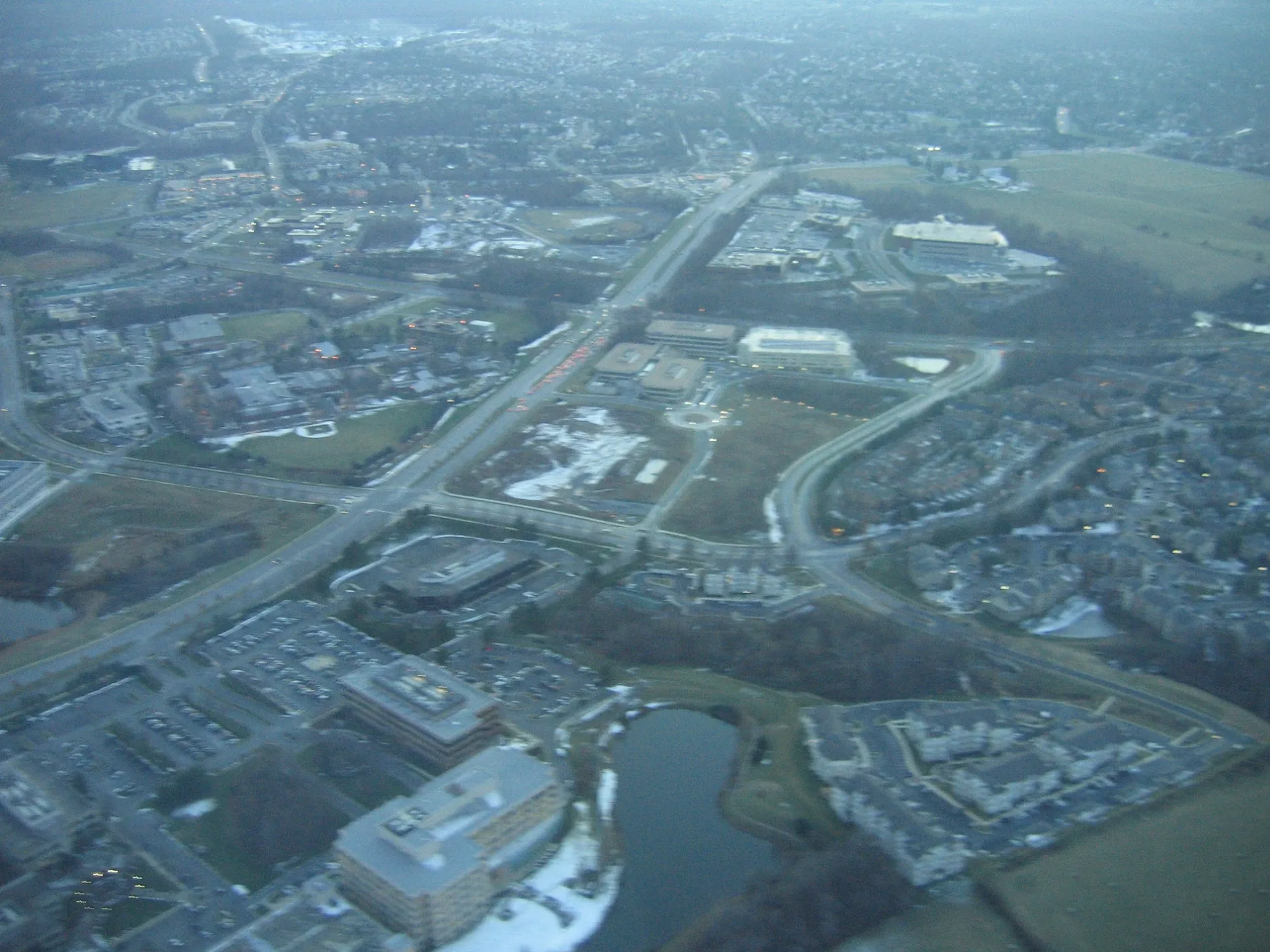
Omega Drive in Montgomery County is a three-lane secondary road. It runs in a northeast-southwest direction starting from Fields Road and crosses Research Boulevard and Key West Avenue and ends at Medical Center Drive. The nearest stop is Research Blvd at Omega Dr. The bus lines 54, 66, 74 and PINK serve this stop.
- Road Type
- secondary road
- Lanes
- 3
- Route
- northeast-southwest
Image
Bus stops
- bus lines 54, 66, 74, PINK
Streets nearby
Research BoulevardNorth Potomac Smiles, Donna Bella Laser Medspa
500 ft
Siesta Key WayOn The Vine Craft Beer & Wine
0.1 mi
Sagan Place0.2 mi
Morrison Drive0.2 mi
Key West AvenueDunkin', Key West Ave and Siesta Key Way, Hunting Hill Church, Taco Bell
0.2 mi
Rubens Drive0.2 mi
Herron Pond Trail0.2 mi
Corporate BoulevardCorporate Blvd and Omega Dr
0.3 mi
Medical Center DriveMedical Center Dr at JHU, Thai Cottage Bistro, Subway, Passion Bakery Café, Medical Center Dr at Medical Center Way, Katherine Thomas School
0.3 mi
Stowe Drive0.3 mi
Fields RoadGallery Cafe, Fields Rd & Sam Eig Hwy, Shell, Washingtonian Cleaners
0.3 mi
Washingtonian BoulevardWashingtonian Blvd & Grand Corner Ave, Washingtonian Blvd & Rio Blvd, Washingtonian Blvd & Omega Dr, Upward Bound, Washingtonian Blvd & Waterfront Pl, Washingtonian Blvd @ 9811, Zips Dry Cleaning, Washingtonian Blvd @ 9801, Washingtonian Blvd & Marathon Terr, Washingtonian Blvd & Fields Rd
0.3 mi
Dickenson Drive0.3 mi
Rockwell Avenue0.3 mi
Crown Park AvenueInnovator's Park
0.3 mi
Vermeer Avenue0.3 mi
Shady Grove RoadShady Grove Post Office, Dunkin', Qdoba, Rise Southern Biscuits Righteous Chicken, Luxury Nails, AllCare, Buffalo Wild Wings Go, Shady Grove Rd & Gaither Rd, C&D Hair Braiding, Express Café, &Shawarma, Argos Optical, Davidus Cigars & Pipes, Burger King, Ripieno's Italian Bistro, JoJo's Express, Bella's Italian Bistro, CVS Pharmacy
0.3 mi
Case Mews0.3 mi
Armstrong Place0.3 mi
West Montgomery Avenue0.3 mi
Salinger Place0.4 mi
Diamondback DriveKey West Ave and Diamondback Dr
0.4 mi
Oakdale Drive0.4 mi
Bleeker Place0.4 mi
Broschart Road0.4 mi
Decoverly DriveInner Being
0.4 mi
Blackwell RoadThe Ridge School Montgomery County
0.4 mi
Skyhill Way0.5 mi
Gable Ridge Court0.5 mi
Foxborough Circle0.5 mi
Buildings nearby
Montgomery College CT Building0.2 mi
NCI Shady Grove0.3 mi
Commercial areas nearby
Decoverly Hall0.1 mi
The Grove 2700.2 mi
Community centers nearby
Crown Community Amenity Building0.4 mi
Construction sites nearby
Crown High School400 ft
Dog parks nearby
Camden Bark Park0.4 mi
Hotels nearby
Extended Stay America300 ft
Office buildings nearby
Omega Medical Center0.2 mi
Decoverly II0.2 mi
Shady Grove Medical Center0.3 mi
Gordon S. Macklin Building0.3 mi
Diamondback Corporate Center0.3 mi
Parks nearby
Axis at Shady Grove Civic Green Park550 ft
Recreation grounds nearby
Crown Community Center - The Retreat0.4 mi
Residential areas nearby
Axis at Shady Grove0.1 mi
Gateway Park0.3 mi
Decoverly I0.5 mi
School buildings nearby
Johns Hopkins University0.4 mi
 Public transit map Montgomery County Legend
| Railway | |
| Bus | |
| Streetcar |
 Bicycle map Montgomery County Legend
| Bike path | |
| Bike lane on roadway | |
| Cycling allowed on bus lane | |
| Bicycle street | |
| Open to cyclists | |
| Open to cyclists, good path | |
| Cycling prohibited | |
| Cobblestone |
| Long-distance bike route | (depending on scale) | |
| Long-distance bike route |
 Pedestrian map Montgomery County Legend
| Path |
| Long-distance hiking trail | (depending on scale) | |
| Long-distance hiking trail | ||
| Pedestrians prohibited |