
Genome Alley in Rockville, MD 20850
Genome Alley in Rockville, MD 20850 (Montgomery County) is a service road and runs in a southeast-northwest direction starting from Blackwell Road and ends at Dalmatian Street.
- Road Type
- service road
- Route
- southeast-northwest
Image
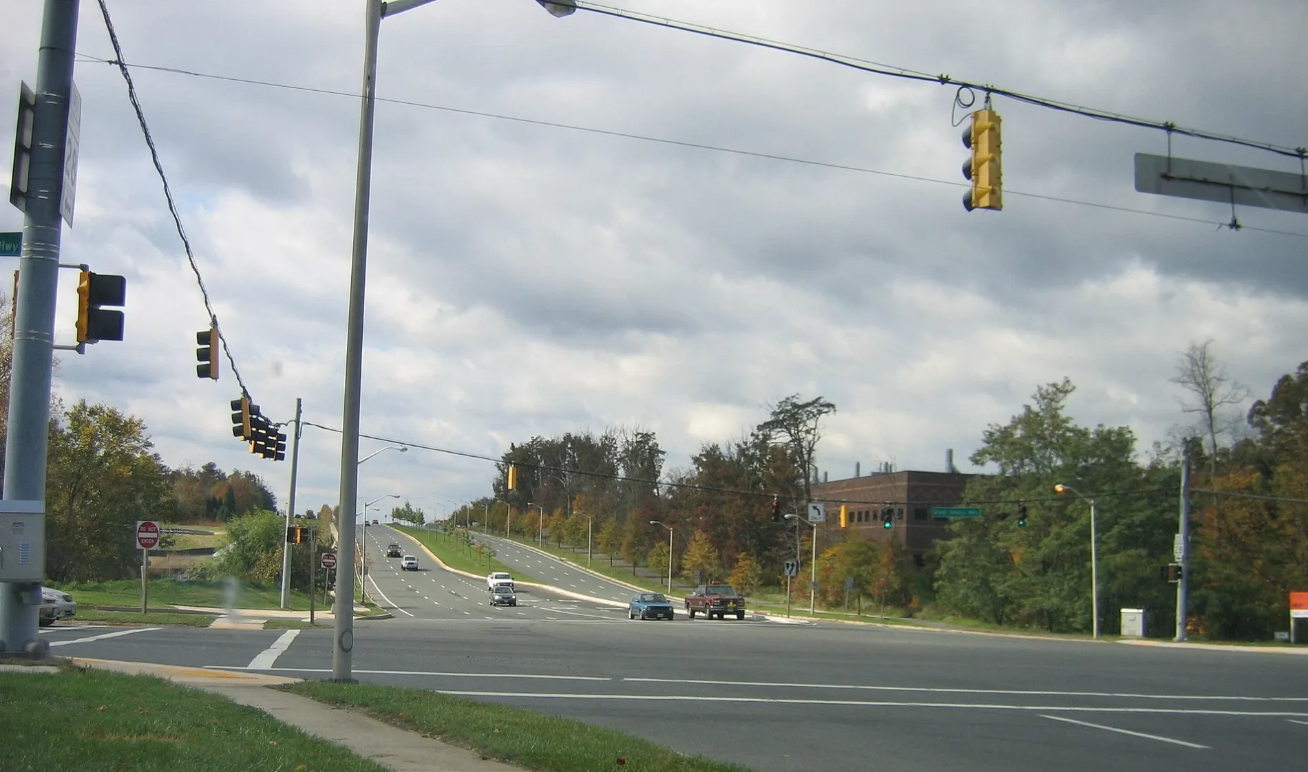
Streets nearby
Dalmatian Street300 ft
Swat Street350 ft
Blackwell RoadThe Ridge School Montgomery County
450 ft
Dispatch Street450 ft
Medical Center DriveMedical Center Dr at JHU, Thai Cottage Bistro, Subway, Sweet + Sour Café, Medical Center Dr at Medical Center Way, Tasty Nook Cafe, Katherine Thomas School
0.1 mi
Great Seneca Highway SidepathTravilah Fire Station 32
0.2 mi
Darnestown Road Sidepath0.2 mi
Physicians LaneStrong Ties
0.2 mi
Key West AvenueDunkin', Taco Bell, CVS Pharmacy
0.2 mi
Good Earth Court0.2 mi
Pinto Court0.2 mi
Pinto Lane0.3 mi
Johns Hopkins Drive Sidepath0.3 mi
Great Seneca HighwayMattress Warehouse, Subway, Baskin-Robbins, Fountain Hills
0.3 mi
Johns Hopkins Drive0.3 mi
Treble Court0.3 mi
Belward Campus Drive0.3 mi
Darnestown RoadBeallsville, Fairhaven United Methodist Church, Gaithersburg Chinese Alliance Church, Lees Corner, Inferno Pizzeria Napoletana, Capital One, Sunoco, Chop Shop, Quickway, Pleasant View Church, Dawsonville, Hunting Hill, Surrey Saddlery, Shell
0.3 mi
Broschart Road0.3 mi
Travilah RoadCafe Rio, Flower Child, Banfield Pet Hospital, Ledo Pizza, Big Pines, Apna Pizza, Travilah, Bai Khao Thai, Glenvilah Veterinary Clinic, K9 Aquatic Center LLC, Maximum Magic Shop, Diana Nails & Spa, Fun Square Early Learning Center, Rockville Church of God of Prophecy
0.3 mi
Chariot Court0.3 mi
Hunting Lane0.3 mi
Pommel Drive0.3 mi
Potomac Corner Lane0.4 mi
Potomac Corner Drive0.4 mi
Medical Center Way0.4 mi
Yearling Court0.4 mi
Traville Gateway DriveMattress Warehouse, Sushi Oishii Inc, Potomac Beer & Wine, Potomac Pizza, Wild Birds Unlimited, Priddy Library, Traville Gateway Dr and Gudelsky Dr, Bagel Town Deli, El Patio, Traville Transit Center/USG, Traville Transit Center, Electric Car Charging Station
0.4 mi
Yearling Terrace0.5 mi
Traville Gardens Circle0.5 mi
Nolan Drive0.5 mi
Gudelsky DriveTraville Transit Center/USG
0.6 mi
Molecular Drive0.6 mi
Shady Grove RoadShady Grove Post Office, Dunkin', Qdoba, Rise Southern Biscuits Righteous Chicken, Luxury Nails, AllCare, Buffalo Wild Wings Go, Shady Grove Rd & Gaither Rd, C&D Hair Braiding, Express Café, &Shawarma, Argos Optical, Davidus Cigars & Pipes, Burger King, Ripieno's Italian Bistro, JoJo's Express, Bella's Italian Bistro, Capital Women's Care, CVS Pharmacy
0.6 mi
Sylvan Glade Drive0.6 mi
Amenities nearby
Children's Manor Montessori School - Rockville0.4 mi
Buildings nearby
Hunting Hill Substation0.3 mi
King of the Nations Christian Fellowship0.4 mi
Commercial buildings nearby
National Cybersecurity Center of Excellence0.2 mi
Rockville Research Center at Belward South0.3 mi
Rockville Research Center at Belward North0.4 mi
Drugstores nearby
CVS Pharmacy0.3 mi
Fast food restaurants nearby
KFC0.3 mi
Gas stations nearby
Sunoco0.3 mi
Parking lots nearby
Traville Gateway Garage0.5 mi
Retail areas nearby
Travilah Square Shopping Center0.3 mi
Sports fields nearby
Sports0.3 mi
Supermarkets nearby
Trader Joe's0.3 mi
University buildings nearby
Building III: Clifford and Camille Kendall Academic Center0.5 mi
Public transit map Montgomery County Legend
| Railway | |
| Bus | |
| Streetcar |
Bicycle map Montgomery County Legend
| Bike path | |
| Bike lane on roadway | |
| Cycling allowed on bus lane | |
| Bicycle street | |
| Open to cyclists | |
| Open to cyclists, good path | |
| Cycling prohibited | |
| Cobblestone |
| Long-distance bike route | (depending on scale) | |
| Long-distance bike route |
Pedestrian map Montgomery County Legend
| Path |
| Long-distance hiking trail | (depending on scale) | |
| Long-distance hiking trail | ||
| Pedestrians prohibited |