
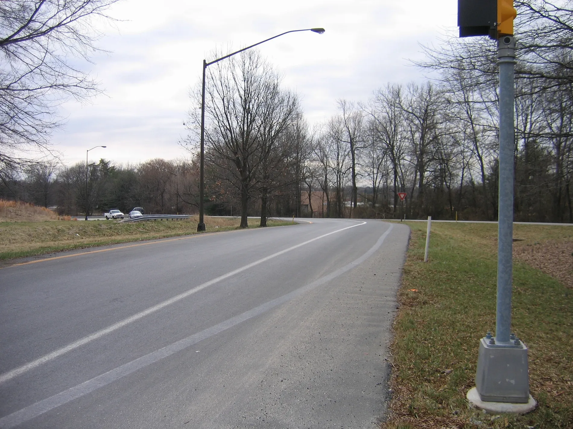
Metro Access Road in Montgomery County, Maryland
Metro Access Road in Montgomery County is a two-lane, asphalted secondary road. It crosses Columbus Avenue and ends at Redland Road, while the other end is a cul-de-sac. Nearby there is among others a bike rental. The nearest stops are Shady Grove and Shady Grove Metro. The subway line R as well as the bus lines 43, 53, 58, 60, 61, 64, 65, 71, 73, 74, 76, 78, 79, 90, 100, 101, 201, 505, 515, LIME and PINK serve this stop.
- Bicycle
- no
- Road Type
- highway
- Lanes
- 2
- Speed Limit
- 40 mph
Image
Stations
- subway lines R
- bus lines 43, 53, 58, 60, 61, 64, 65, 71, 73, 74, 76, 78, 79, 90, 100, 101, 201, 505, 515, LIME, PINK
Bike rentals
Streets nearby
Shady Grove Access Path0.2 mi
Fairborn Court0.2 mi
Malabar Street0.2 mi
Briardale Terrace0.2 mi
Mistic View Court0.2 mi
Needwood RoadNeedwood Rd and Eagles Head Ct
0.2 mi
Havenside Terrace0.3 mi
Briardale Court0.3 mi
Goodfellow Way0.3 mi
Keyport Terrace0.3 mi
Shady Grove RoadShady Grove Post Office, Dunkin', Qdoba, Rise Southern Biscuits Righteous Chicken, Luxury Nails, AllCare, Buffalo Wild Wings Go, Shady Grove Rd & Gaither Rd, C&D Hair Braiding, Express Café, &Shawarma, Argos Optical, Davidus Cigars & Pipes, Burger King, Ripieno's Italian Bistro, JoJo's Express, Bella's Italian Bistro, CVS Pharmacy
0.3 mi
Timbercrest Drive0.3 mi
White Cliff Terrace0.3 mi
Redland Extension0.3 mi
Briardale Road0.3 mi
Ironforge Court0.3 mi
Camberford Place0.3 mi
Dace Drive0.3 mi
Flatbush Street0.3 mi
Tribeca Street0.3 mi
Breezy Down Terrace0.3 mi
Decker Place0.4 mi
Camberford Street0.4 mi
Crabbs Branch WayStarbucks, CVS Pharmacy, Shady Grove, Gaitherburg Highway Depot
0.4 mi
Teal Court0.4 mi
Majestic Way0.4 mi
Redhook Street0.4 mi
Rydal Terrace0.4 mi
Baederwood Lane0.4 mi
Baederwood Court0.4 mi
Bowery Street0.4 mi
Gramercy BoulevardInspire Nail Bar & Spa, Westside, Westside Wine Cellar & Beer, Pearle Vision
0.4 mi
Bethayres Road0.4 mi
Baederwood Terrace0.5 mi
Nutwood Court0.5 mi
Fawn Court0.5 mi
Quincewood Court0.6 mi
Eagles Head Court0.6 mi
Banks nearby
State Employees Credit Union0.2 mi
Commercial areas nearby
Shady Grove Maintenance Facility0.1 mi
Convenience stores nearby
Tiger Mart0.2 mi
Fast food restaurants nearby
McDonald's0.3 mi
Gas stations nearby
Exxon0.3 mi
Parks nearby
Blueberry Hill Local Park0.3 mi
Playgrounds nearby
Park Overlook Tot Lot 10.3 mi
Park Overlook Tot Lot 30.3 mi
Park Overlook Tot Lot 20.5 mi
Retail areas nearby
The Grove0.2 mi
Swimming pools nearby
Daley Pool0.5 mi
 Public transit map Montgomery County Legend
| Railway | |
| Bus | |
| Streetcar |
 Bicycle map Montgomery County Legend
| Bike path | |
| Bike lane on roadway | |
| Cycling allowed on bus lane | |
| Bicycle street | |
| Open to cyclists | |
| Open to cyclists, good path | |
| Cycling prohibited | |
| Cobblestone |
| Long-distance bike route | (depending on scale) | |
| Long-distance bike route |
 Pedestrian map Montgomery County Legend
| Path |
| Long-distance hiking trail | (depending on scale) | |
| Long-distance hiking trail | ||
| Pedestrians prohibited |