
Tribeca Street in Derwood, MD 20855
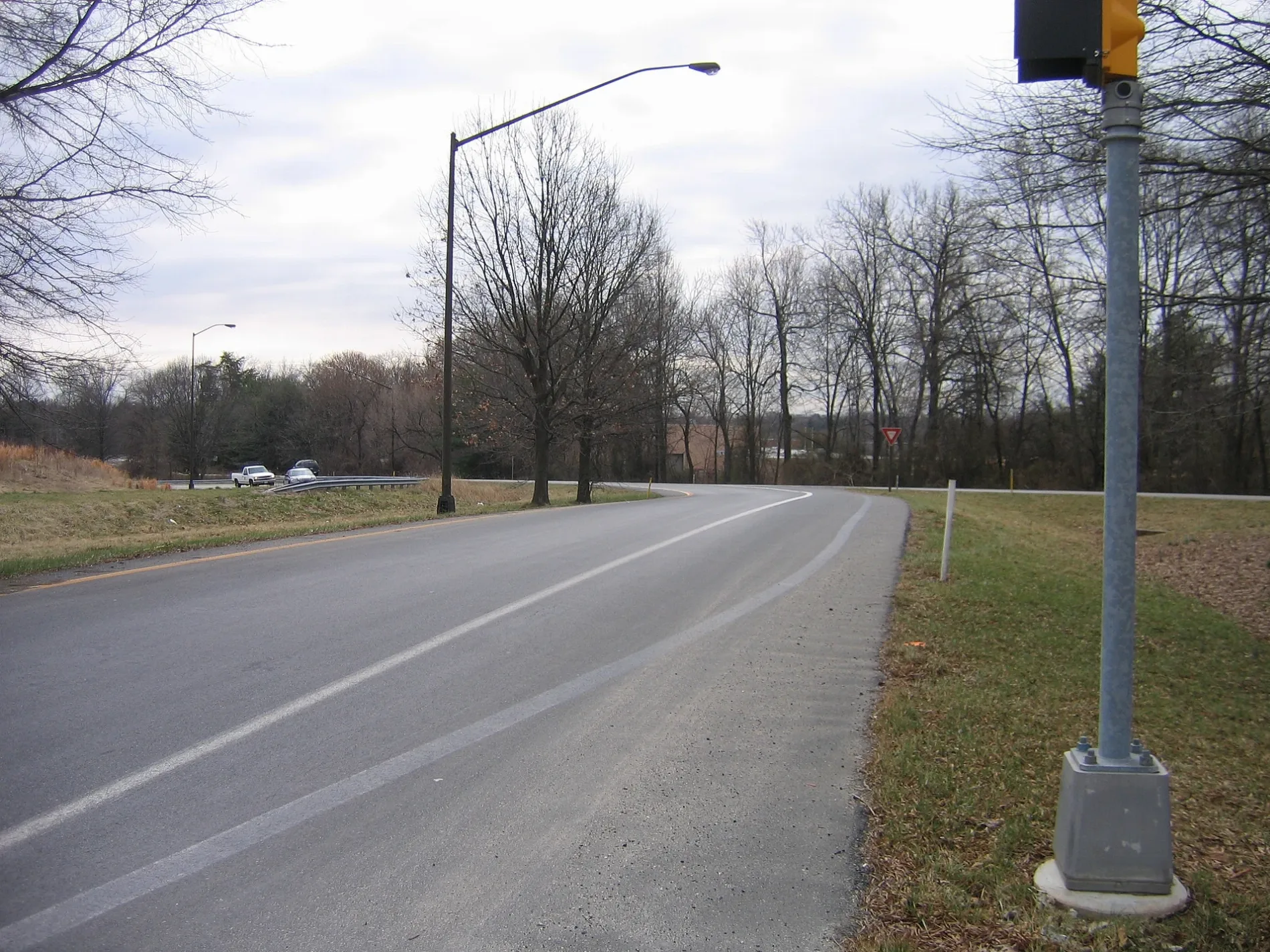
Tribeca Street in Derwood, MD 20855 (Montgomery County) is a residential street. It runs in a northeast-southwest direction starting from Columbus Avenue and crosses Decker Place and ends at Crabbs Branch Way.
- Road Type
- residential street
- Route
- northeast-southwest
Image
Streets nearby
Decker Place200 ft
Crabbs Branch WayStarbucks, CVS Pharmacy, Shady Grove, Gaitherburg Highway Depot
400 ft
Redhook Street400 ft
Flatbush Street400 ft
Bushwick Place500 ft
Varick Place500 ft
Greenpoint Place0.1 mi
Bowery Street0.1 mi
Front Street0.1 mi
Columbus AvenueColumbus Ave & Tribeca St, Zipcar, Columbus Ave & Gramercy Blvd
0.1 mi
Connors Way0.1 mi
Tompkins Street0.2 mi
Gramercy BoulevardInspire Nail Bar & Spa, Westside, Westside Wine Cellar & Beer, Pearle Vision
0.2 mi
Baxter Street0.2 mi
Front Loop0.2 mi
Shady Grove RoadShady Grove Post Office, Dunkin', Qdoba, Rise Southern Biscuits Righteous Chicken, Luxury Nails, AllCare, Buffalo Wild Wings Go, Shady Grove Rd & Gaither Rd, C&D Hair Braiding, Express Café, &Shawarma, Argos Optical, Davidus Cigars & Pipes, Burger King, Ripieno's Italian Bistro, JoJo's Express, Bella's Italian Bistro, CVS Pharmacy
0.3 mi
Metro Access RoadShady Grove, Shady Grove Metro East, Shady Grove Metro, Street Elevator
0.3 mi
Redland Extension0.3 mi
Shady Grove Access Path0.4 mi
Banks nearby
State Employees Credit Union0.2 mi
Buildings nearby
Service & Inspection0.3 mi
Facilities Maintenance0.4 mi
Yard Operations0.4 mi
Commercial areas nearby
Shady Grove Maintenance Facility0.2 mi
Community centers nearby
Westside Community Center450 ft
Convenience stores nearby
Tiger Mart0.2 mi
Fast food restaurants nearby
McDonald's0.2 mi
Gas stations nearby
Exxon0.2 mi
Industrial areas nearby
Montgomery County Solid Waste Transfer Station0.2 mi
Montgomery County Fleet Management Services0.3 mi
Industrial buildings nearby
David F. Bone Equipment Maintenance & Transit Operations Center0.2 mi
Electronics Recycling0.4 mi
Oil Recycling0.4 mi
Parking lots nearby
The Daley Parking Garage0.3 mi
Shady Grove Metro Station Parking0.3 mi
Parks nearby
Westside at Shady Grove Community Center & Park500 ft
Westside Dog Park - North0.2 mi
Westside Dog Park - South0.2 mi
Railway areas nearby
WMATA Shady Grove Rail Yard0.3 mi
Railways nearby
Metropolitan Subdivision0.2 mi
Residential areas nearby
Westside at Shady Grove0.2 mi
Retail areas nearby
The Grove0.3 mi
Streams nearby
Crabbs Branch0.4 mi
Subway lines nearby
Track 20.3 mi
Track 30.3 mi
Washington Metro - Red Line0.4 mi
Swimming pools nearby
Westside Community Pool400 ft
Daley Pool0.2 mi
Other nearby
Westside CSX Wall0.1 mi
 Public transit map Montgomery County Legend
| Railway | |
| Bus | |
| Streetcar |
 Bicycle map Montgomery County Legend
| Bike path | |
| Bike lane on roadway | |
| Cycling allowed on bus lane | |
| Bicycle street | |
| Open to cyclists | |
| Open to cyclists, good path | |
| Cycling prohibited | |
| Cobblestone |
| Long-distance bike route | (depending on scale) | |
| Long-distance bike route |
 Pedestrian map Montgomery County Legend
| Path |
| Long-distance hiking trail | (depending on scale) | |
| Long-distance hiking trail | ||
| Pedestrians prohibited |