
Hurley Avenue in Rockville, Maryland
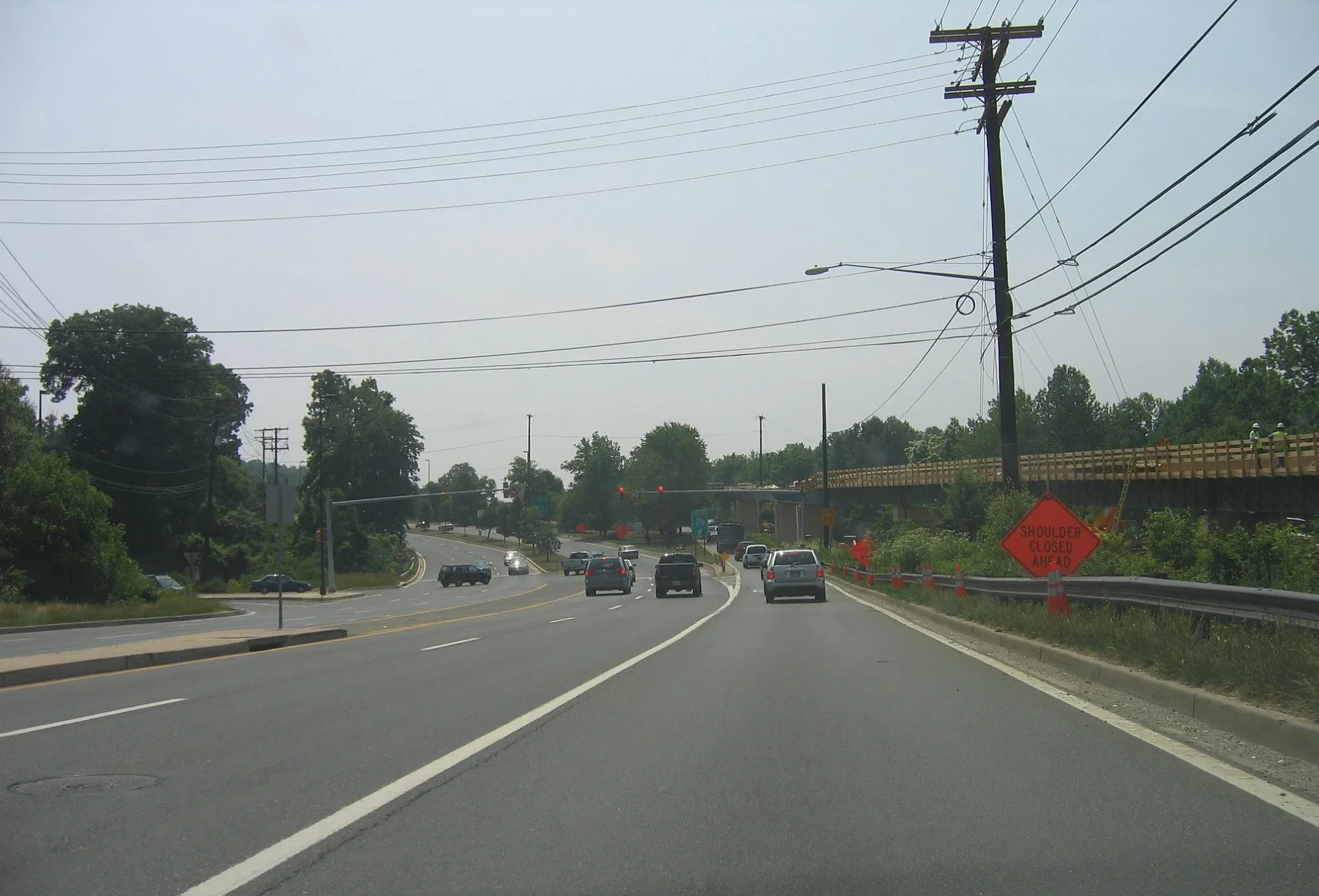
Hurley Avenue in Rockville is a local road. It runs in a northeast-southwest direction and crosses West Montgomery Avenue, Watts Branch Parkway, Dundee Road, Feather Rock Place, Feather Rock Drive, Bouldercrest Court, Monet Drive, Northcliffe Drive, Sherbrooke Way, Wootton Parkway and Eton Overlook. Nearby there is a place of worship.
- Road Type
- local road
- Route
- northeast-southwest
Image
Places of worship
Streets nearby
Research BoulevardThat's Amore'
0.1 mi
West Montgomery AvenueW Montgomery Av at N Adams St, W Montgomery Av at S Adams St, Petit Délice, Rockville Presbyterian Cooperative Nursery School, Rockville Seventh Day Adventist Church, Subway, Eerkins Uyghur Cuisine, Pelicana Chicken
0.1 mi
Crofton Hill Lane0.1 mi
Crofton Hill Court0.2 mi
Watts Branch Parkway0.2 mi
Dundee Road0.2 mi
Feather Rock Place0.2 mi
Emily Drive0.2 mi
Key West Highway0.2 mi
Nelson StreetFirst Church of Christ, Scientist, Hard Times Cafe, Carmen's Italian Ice, Shanghai Taste, Phase 2 Beauty Salon, Z&Z Manoush Bakery, EVgo, Woodley Gardens Cleaners, Neighbors Coffee, Onekick Martial Arts, Woodley Gardens Veterinary Care
0.2 mi
Hi Wood Drive0.3 mi
Edith Drive0.3 mi
Great Pines Court0.3 mi
Guy Court0.3 mi
Feather Rock Drive0.3 mi
Dav Road0.4 mi
Aintree Drive0.4 mi
Ingleside Court0.4 mi
Bouldercrest Court0.4 mi
Devon Court0.4 mi
Nature Lane0.4 mi
Dundee Court0.4 mi
McCormick Court0.5 mi
Long Trail Terrace0.5 mi
Balmoral Drive0.5 mi
Balmoral Court0.5 mi
Gormley Drive0.5 mi
Monet Drive0.5 mi
Hardwicke Place0.5 mi
McCormick Road0.5 mi
Darnestown RoadBeallsville, Fairhaven United Methodist Church, Gaithersburg Chinese Alliance Church, Shell, Surrey Saddlery, Lees Corner, Inferno Pizzeria Napoletana, Capital One, Sunoco, Chop Shop, Quickway, Pleasant View Church, Dawsonville, Hunting Hill
0.5 mi
Leyton Court0.5 mi
Sherbrooke Way0.6 mi
Hastings Circle0.6 mi
Halifax Court0.6 mi
West Montgomery Avenue Sidepath0.6 mi
Allotment gardens nearby
Ricketier Community Garden0.3 mi
Banks nearby
Citibank0.2 mi
Buildings nearby
Extra Space Storage0.1 mi
Rockville Church of Christ0.2 mi
Kol Shalom0.5 mi
Fast food restaurants nearby
Chick-fil-A500 ft
Fitness centers nearby
Onelife Fitness0.2 mi
Office buildings nearby
Aeras0.1 mi
Parks nearby
Glenora Park0.4 mi
Places of worship nearby
American Latvian Association0.2 mi
Residential buildings nearby
Collingswood Nursing Home0.1 mi
Retail buildings nearby
Woodley Gardens Shopping Center0.3 mi
Streams nearby
Watts Branch0.2 mi
Public transit map Rockville Legend
| Railway | |
| Bus | |
| Streetcar |
Bicycle map Rockville Legend
| Bike path | |
| Bike lane on roadway | |
| Cycling allowed on bus lane | |
| Bicycle street | |
| Open to cyclists | |
| Open to cyclists, good path | |
| Cycling prohibited | |
| Cobblestone |
| Long-distance bike route | (depending on scale) | |
| Long-distance bike route |
Pedestrian map Rockville Legend
| Path |
| Long-distance hiking trail | (depending on scale) | |
| Long-distance hiking trail | ||
| Pedestrians prohibited |