
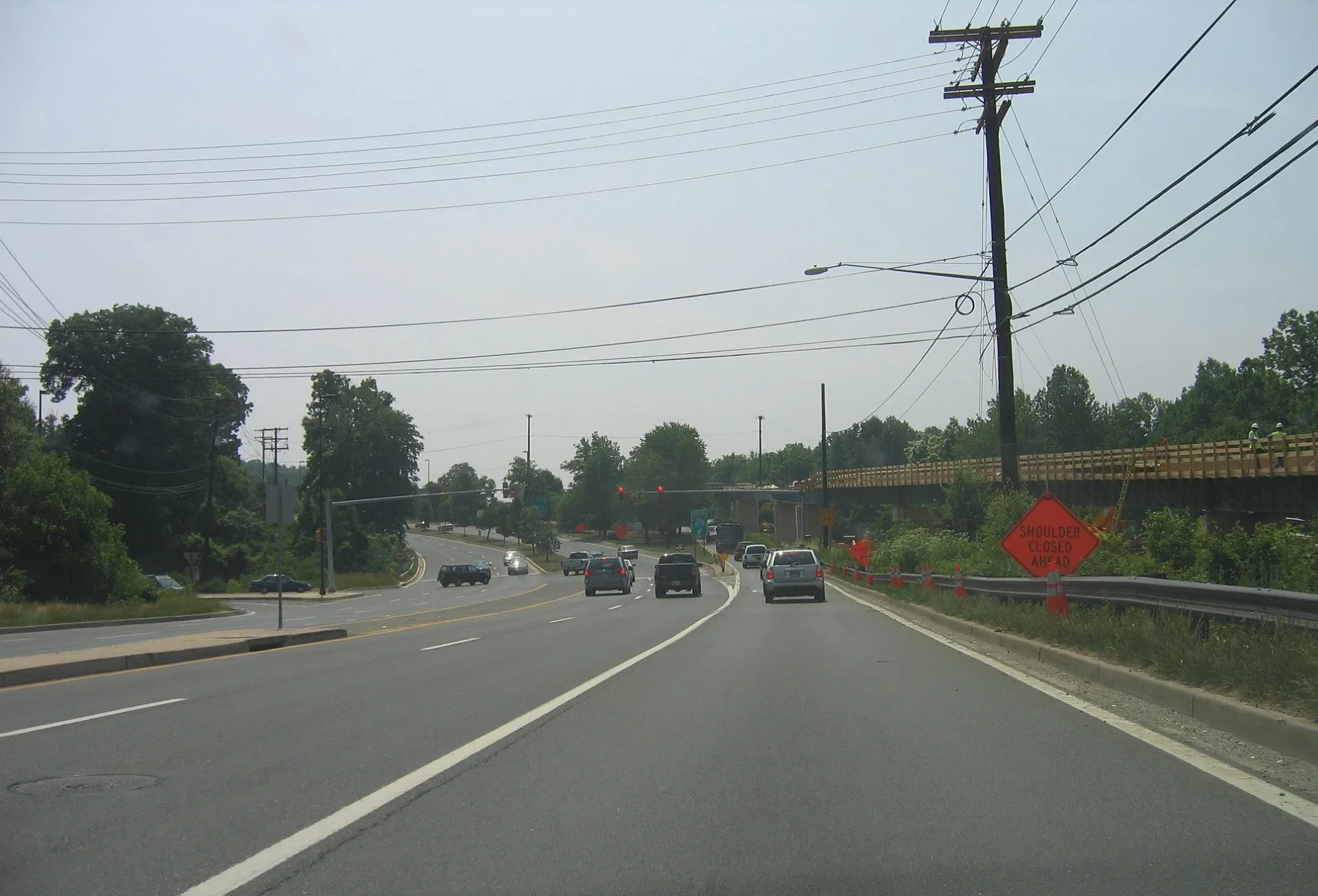
Watts Branch Parkway in Rockville, Maryland
Watts Branch Parkway in Rockville is a local road. The street has bike paths (bike lane). It runs in a southeast-northwest direction starting from Hurley Avenue and crosses Ingleside Court, Aintree Drive, Pender Place, Chantilly Court, Gerard Street, Lochness Court, Fallswood Drive, Fallswood Court, Brookcrest Court, Woodsend Place and Lawngate Court.
- Bike Lane
- lane
- Road Type
- local road
- Route
- southeast-northwest
Image
Schools
Fast food restaurants
Veterinary clinics
Bakeries
Bus stops
Places of worship
Beauty salons
Ice cream shops
Cafes
Restaurants
Hotels
Charging stations
Dry cleaners
Coffee shops
Streets nearby
West Montgomery Avenue Sidepath150 ft
Key West Highway300 ft
Hurley AvenueLatvian Lutheran Church
0.2 mi
Feather Rock Place0.2 mi
Aintree Drive0.2 mi
Ingleside Court0.2 mi
Marwood Court0.2 mi
Devon Court0.2 mi
Dundee Road0.2 mi
Edith Drive0.3 mi
West Montgomery AvenueW Montgomery Av at N Adams St, W Montgomery Av at S Adams St, Petit Délice, Rockville Presbyterian Cooperative Nursery School, Rockville Seventh Day Adventist Church, Subway, Eerkins Uyghur Cuisine, Pelicana Chicken
0.3 mi
Beall AvenueSichuan Jin River, The Spot, Rockville Fire Station 3, Dolan, CVS Pharmacy, Christian Science Reading Room
0.3 mi
Feather Rock Drive0.3 mi
Anderson AvenueWest End Park
0.3 mi
Pender Place0.3 mi
Currier Drive0.3 mi
Nelson StreetFirst Church of Christ, Scientist, Hard Times Cafe, Carmen's Italian Ice, Shanghai Taste, Phase 2 Beauty Salon, Z&Z Manoush Bakery, EVgo, Woodley Gardens Cleaners, Neighbors Coffee, Onekick Martial Arts, Woodley Gardens Veterinary Care
0.3 mi
Barclay Court0.3 mi
Owens Court0.4 mi
Camden Court0.4 mi
Defoe Court0.4 mi
Chantilly Court0.4 mi
Gormley Drive0.4 mi
Monet Drive0.4 mi
Adclare Road0.4 mi
Owens Street0.4 mi
Renwick Court0.4 mi
Defoe Street0.4 mi
Henley Court0.4 mi
Adclare Court0.5 mi
Lochness Court0.5 mi
Roxboro Road0.5 mi
Bentley Court0.5 mi
Mannakee Street0.5 mi
Surry Court0.5 mi
Gerard Court0.5 mi
Blue Hosta Way0.5 mi
Currier Court0.5 mi
Brent Road0.5 mi
Aberdeen Road0.5 mi
Gerard Street0.6 mi
Allotment gardens nearby
Ricketier Community Garden0.2 mi
Buildings nearby
Extra Space Storage0.2 mi
Smith Family House0.3 mi
Places of worship nearby
American Latvian Association0.1 mi
First Baptist Church of Rockville0.3 mi
Rockville Christian Church0.4 mi
Residential buildings nearby
Collingswood Nursing Home0.2 mi
Streams nearby
Watts Branch50 ft
Public transit map Rockville Legend
| Railway | |
| Bus | |
| Streetcar |
Bicycle map Rockville Legend
| Bike path | |
| Bike lane on roadway | |
| Cycling allowed on bus lane | |
| Bicycle street | |
| Open to cyclists | |
| Open to cyclists, good path | |
| Cycling prohibited | |
| Cobblestone |
| Long-distance bike route | (depending on scale) | |
| Long-distance bike route |
Pedestrian map Rockville Legend
| Path |
| Long-distance hiking trail | (depending on scale) | |
| Long-distance hiking trail | ||
| Pedestrians prohibited |