
Plaza Lane in Bourne, Massachusetts
Plaza Lane in Bourne is a two-lane residential street. The street has a width of 12.2. It runs in a north-south direction starting from Wright Lane and ends at Bourne Neck Drive.
- Road Type
- residential street
- Lanes
- 2
- Route
- north-south
Image
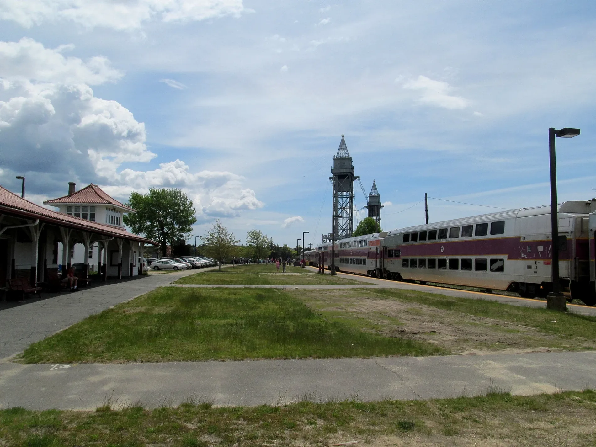
Stations
Antique stores
Libraries
Ice cream shops
Clinics
Kitchen studios
Restaurants
Tattoo studios
Fast food restaurants
Opticians
Police stations
Conference centers
Bike shops
Bookstores
Platforms
Pet grooming salons
Colleges
Artworks
Clothing stores
Food courts
Tourist information centers
Streets nearby
Wright Lane300 ft
Bourne Neck Drive350 ft
Bay Drive350 ft
Central Place500 ft
Salt Works Lane500 ft
Harbor Place0.1 mi
Tower LaneAbele Hall (Sixth Company), Thompson Hall (Fourth and Seventh Company)
0.1 mi
Canal Place0.1 mi
Academy DriveMerchant Marine Memorial, Buzzards Bay, Camps and Conferences
0.1 mi
Taylor Road0.2 mi
Buttermilk Way0.2 mi
Cranberry HighwayStop and Shop, East Wind Lobster and Grille
0.2 mi
West End Rotary0.2 mi
Lincoln Avenue0.2 mi
Gardiner Road0.2 mi
Washington Avenue0.2 mi
Buzzards Bay BypassLiberty Warehouse Liqours, Ocean State Job Lot, Bay Community Alliance Church
0.2 mi
Bourne Avenue0.3 mi
Main StreetBuzzards Bay, Buzzard's Bay Antique Center, Mahoney's on Main, Deb's Dog House, Footprints Cafe, Diamond Mind Tattoo, Bay Motor Inn, Mezza Luna, Bourne Veterans’ Memorial Community Building, Design First, Betty Ann's Dairy Freeze, Buzzards Bay Veterinary Associates, SeeBreeze Optical, Vella Juice Bar, Krua Thai, Rod & Rail, Saint Margaret of Scotland Church, Mic's Main Scoop, Buzzards Bay Garage, Hair Today Plus, Stomping Grounds Grille, Coastal Motors, Super Petroleum, Buzzards Bay House of Pizza, Hair Boutique II, The Vape Way, Sharks Bite Tattoo, Beacon Lock and Safe, Buzzards Bay Barber Shop, NAPA Auto Parts, Red Top Sporting Goods, Citgo, Sam's Food Stores, Go Harder Nutrition, Buzzards Bay Bikes, Polyphonic Studios LLC, Griggs and Browne, Soft as a Grape, Cape Cod Filling Station, Liquor Barn, Dunkin', The Blended Berry, Main Street Buzzards Bay, The Remedy, Honey Dew
0.3 mi
Light RampCaptain Charles H. Hurley Library, Academy Bookstore
0.3 mi
Jefferson Road0.4 mi
RampGraduate and Continuing Education, Campus Police
0.4 mi
Charleston RoadPande Dining Hall, Bay State Conference Center
0.4 mi
Patriot CircleGray Hall (First Company), Wilson Hall (Third Company), Limouze Hall (Fifth Company)
0.4 mi
Abandoned railways nearby
Cape Main (1914-1935)0.3 mi
Beaches nearby
Taylors Point Beach0.1 mi
Electric Avenue Beach0.2 mi
Buildings nearby
Waste Water Treatment Plant0.2 mi
CDR. F Kelly Power Plant0.2 mi
Buzzards Bay Interlocking Tower0.3 mi
Construction sites nearby
Marinakis Hall0.3 mi
Fitness centers nearby
Clean Harbors Athletic Center0.2 mi
Marinas nearby
Bourne Marina0.1 mi
Parks nearby
Taylors Point Park100 ft
Railways nearby
Cape Main (1872-1914)0.2 mi
Cape Main Subdivision0.2 mi
Recreation grounds nearby
Cape Cod Canal Access0.2 mi
Jefferson Rd Row0.4 mi
Sports fields nearby
Hendy Field0.2 mi
Clean Harbors Stadium0.3 mi
Allison Rollins Parade Field0.4 mi
Technical colleges nearby
Crowley New Energy Lab0.3 mi
Admiral's Hall0.3 mi
ABS Information Commons0.3 mi
Harrington Hall0.3 mi
Gerald E. Kurz Hall0.3 mi
Flanagan Hall0.4 mi
MMA Aquaculture Lab0.5 mi
Train stations nearby
Buzzards Bay0.3 mi
 Public transit map Bourne Legend
| Railway | |
| Bus | |
| Streetcar |
 Bicycle map Bourne Legend
| Bike path | |
| Bike lane on roadway | |
| Cycling allowed on bus lane | |
| Bicycle street | |
| Open to cyclists | |
| Open to cyclists, good path | |
| Cycling prohibited | |
| Cobblestone |
| Long-distance bike route | (depending on scale) | |
| Long-distance bike route |
 Pedestrian map Bourne Legend
| Path |
| Long-distance hiking trail | (depending on scale) | |
| Long-distance hiking trail | ||
| Pedestrians prohibited |