
Electric Avenue in Bourne, Massachusetts
Electric Avenue in Bourne is a two-lane residential street. The street has a width of 10.7. It runs in an east-west direction starting from Lincoln Avenue and ends at Washington Avenue. Electric Avenue also exists in Hampden County, Worcester County, Bristol County, Middlesex County and Plymouth County.
- Road Type
- residential street
- Lanes
- 2
- Route
- east-west
Image
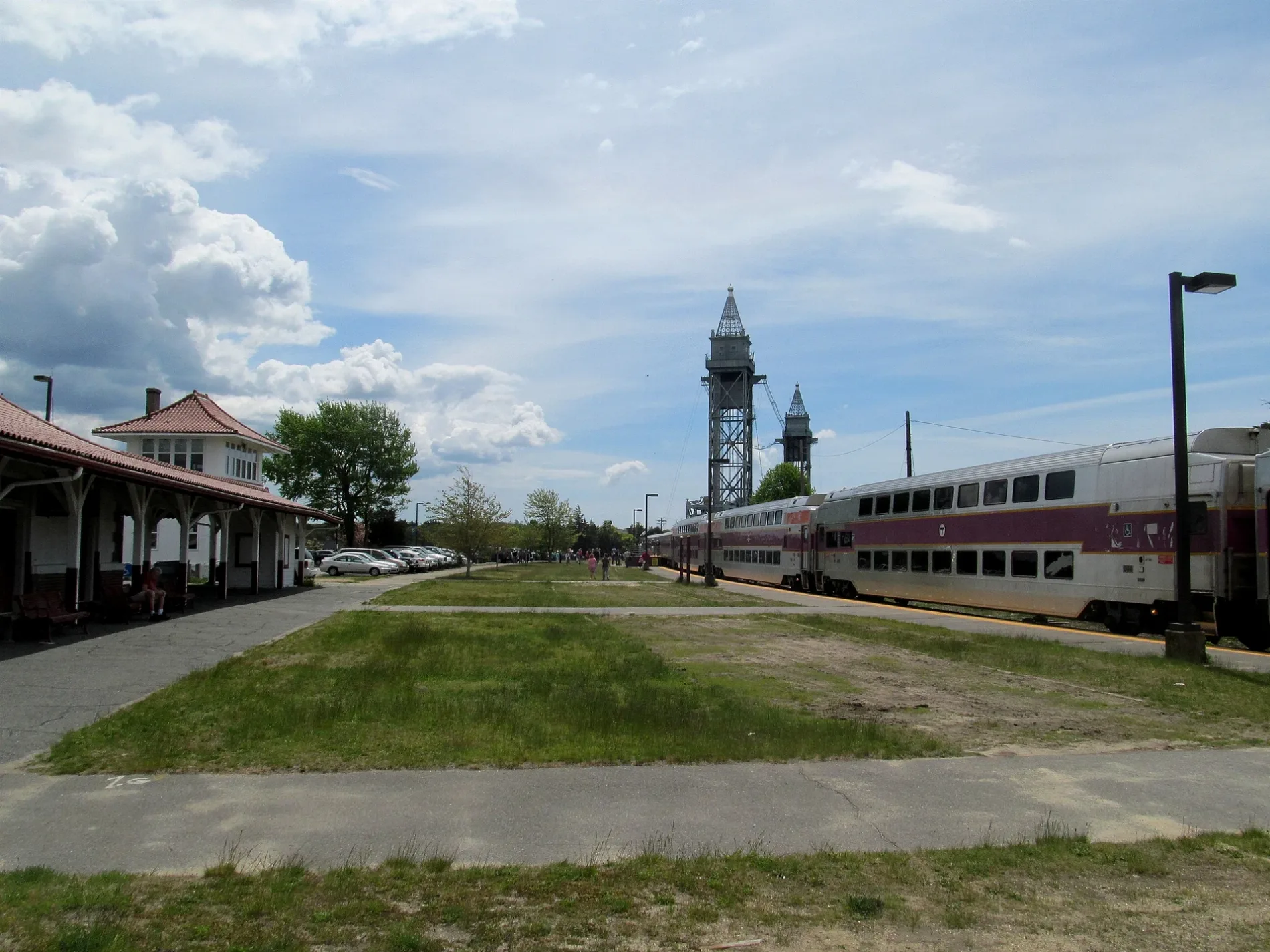
Pet grooming salons
Liquor stores
Opticians
Ice cream shops
Dry cleaners
Places of worship
Restaurants
Antique stores
Fast food restaurants
Clothing stores
Veterinary clinics
Bike shops
Hair salons
Tattoo studios
Bookstores
Clinics
Platforms
Community centers
Stations
Kitchen studios
Tourist information centers
Pubs
Streets nearby
Lincoln Avenue50 ft
Washington Avenue300 ft
Nick Vedder Road400 ft
Gardenier Avenue500 ft
Eldridge Avenue500 ft
Puritan Road550 ft
Eldridge Avenue Extension0.1 mi
Sand Dollar Lane0.1 mi
Lafayette Avenue0.1 mi
Gardiner Road0.1 mi
Van Bummel Road0.1 mi
Bourne Avenue0.2 mi
Buzzards Bay Avenue0.2 mi
Buzzards Bay BypassLiberty Warehouse Liqours, Ocean State Job Lot, Bay Community Alliance Church
0.2 mi
Cranberry HighwayStop and Shop, East Wind Lobster and Grille
0.2 mi
Brom Dutcher Road0.2 mi
Center Avenue0.2 mi
Wilson Avenue0.2 mi
West End Rotary0.2 mi
Harbor Place0.3 mi
Cohasset AvenueAllergy and Asthma Associates, Veterinary Cancer Specialists of New England, Capeway Cleaners - Buzzards Bay, Eagles Lodge
0.3 mi
Water Street0.3 mi
Main StreetBuzzards Bay, Buzzard's Bay Antique Center, Mahoney's on Main, Deb's Dog House, Footprints Cafe, Diamond Mind Tattoo, Bay Motor Inn, Mezza Luna, Bourne Veterans’ Memorial Community Building, Design First, Betty Ann's Dairy Freeze, Buzzards Bay Veterinary Associates, SeeBreeze Optical, Vella Juice Bar, Krua Thai, Rod & Rail, Saint Margaret of Scotland Church, Mic's Main Scoop, Buzzards Bay Garage, Hair Today Plus, Stomping Grounds Grille, Coastal Motors, Super Petroleum, Buzzards Bay House of Pizza, Hair Boutique II, The Vape Way, Sharks Bite Tattoo, Beacon Lock and Safe, Buzzards Bay Barber Shop, NAPA Auto Parts, Red Top Sporting Goods, Citgo, Sam's Food Stores, Go Harder Nutrition, Buzzards Bay Bikes, Polyphonic Studios LLC, Griggs and Browne, Soft as a Grape, Cape Cod Filling Station, Liquor Barn, Dunkin', The Blended Berry, Main Street Buzzards Bay, The Remedy, Honey Dew
0.3 mi
Bryant Street0.3 mi
Academy DriveBuzzards Bay, Merchant Marine Memorial, Camps and Conferences
0.3 mi
Wright Lane0.3 mi
Taylor Road0.4 mi
Bay Drive0.4 mi
Lowell Street0.4 mi
Plaza Lane0.4 mi
Central Place0.4 mi
Longfellow Street0.4 mi
Bourne Neck Drive0.4 mi
Buttermilk Way0.4 mi
Salt Works Lane0.4 mi
Canal Place0.5 mi
Tower LaneAbele Hall (Sixth Company), Thompson Hall (Fourth and Seventh Company)
0.5 mi
Beaches nearby
Electric Avenue Beach0.1 mi
Taylors Point Beach0.3 mi
Buildings nearby
Buzzards Bay Interlocking Tower0.3 mi
Marinas nearby
Cape Cod Canal Access0.2 mi
Bourne Marina0.3 mi
Parks nearby
Buzzards Bay Park0.3 mi
Taylors Point Park0.4 mi
Railways nearby
Cape Main (1872-1914)0.2 mi
Cape Main Subdivision0.3 mi
Shelters nearby
Covered Seating Area0.4 mi
Sports fields nearby
Hendy Field0.5 mi
Train stations nearby
Buzzards Bay0.3 mi
 Public transit map Bourne Legend
| Railway | |
| Bus | |
| Streetcar |
 Bicycle map Bourne Legend
| Bike path | |
| Bike lane on roadway | |
| Cycling allowed on bus lane | |
| Bicycle street | |
| Open to cyclists | |
| Open to cyclists, good path | |
| Cycling prohibited | |
| Cobblestone |
| Long-distance bike route | (depending on scale) | |
| Long-distance bike route |
 Pedestrian map Bourne Legend
| Path |
| Long-distance hiking trail | (depending on scale) | |
| Long-distance hiking trail | ||
| Pedestrians prohibited |