
Riverside Bus Station in Newton, Massachusetts
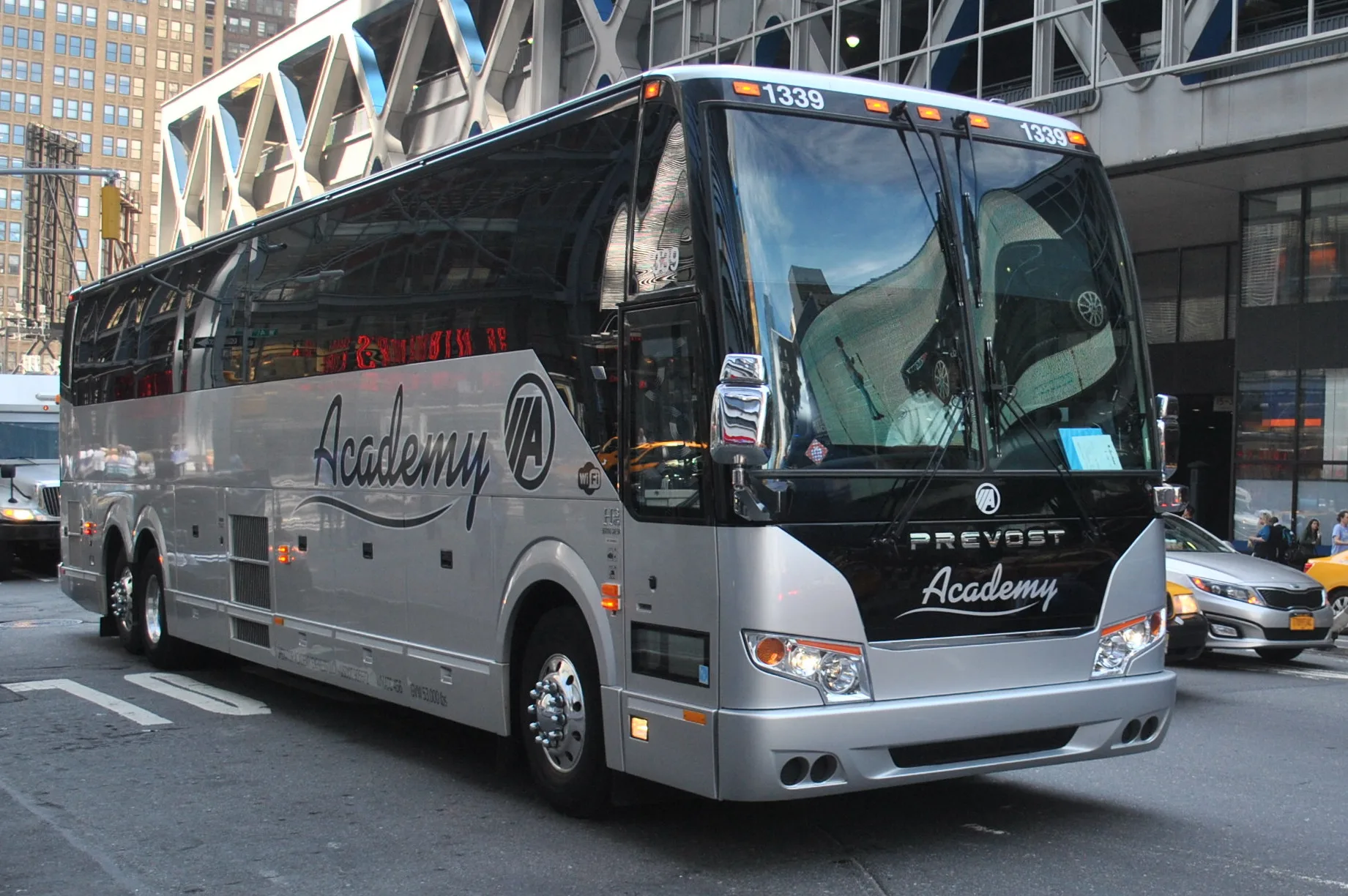
Riverside Bus Station in Newton is a station (Academy Bus, Go Buses, wheelchair accessible), Grove Street 335 (02466) 🌐. Ⓦ.
- House Number
- 335
- Postal Code
- 02466
- Street
- Grove Street
- Amenity
- bus station
- Building Type
- building
- Operator
- Academy Bus
- Website
- https://www.gobuses.com/
- Wheelchair Access
- yes
Image
Convenience stores
Guest houses
Fast food restaurants
Gas stations
Ticket offices
Bus stops
Nursing homes
Platforms
Stops
Stations
Light rail stops
Restaurants
Cafes
Betting shops
Police stations
Streets nearby
Woodland Park Road0.2 mi
Pony Truss Trail0.2 mi
Norumbega Court0.2 mi
Deforest Road0.3 mi
Recreation RoadCP 11
0.3 mi
Pony Truss Bridge0.3 mi
Robin Dell Street0.3 mi
Pierrepont Road0.3 mi
Williston Road0.3 mi
Virginia Road0.3 mi
Oakwood Road0.3 mi
Clearwater Road0.4 mi
Asheville Road0.4 mi
Grove StreetRiverside, Hotel Indigo, BOKX 109 American Prime
0.4 mi
Sherrin Road0.4 mi
Hancock StreetWalker Center
0.4 mi
Crehore Drive0.4 mi
Hallron Road0.4 mi
Central Street0.4 mi
Leighton Road0.4 mi
Newton Service PlazaMcDonald's, Honey Dew, Gulf Express
0.4 mi
Goff Street0.4 mi
Blueberry Circle0.4 mi
Boathouse Bridge0.4 mi
Charles StreetElliot St @ Charles St
0.4 mi
Yankee Division Highway0.4 mi
Riverside Road0.4 mi
Belmore Park0.5 mi
Cornell Street0.5 mi
Abandoned railways nearby
Newton Lower Falls Branch0.2 mi
Boathouses nearby
Stoller Boathouse0.4 mi
Buildings nearby
Hamilton Grove Apartments0.5 mi
Community centers nearby
Lower Falls Community Center0.5 mi
Gas stations nearby
Gulf0.4 mi
Hotels nearby
Hotel Indigo - Newton Riverside0.2 mi
Industrial areas nearby
Riverside Carhouse450 ft
Light rail lines nearby
Green Line (D)0.1 mi
Light rail stops nearby
Riverside (Inbound)0.1 mi
Riverside (Inbound/Outbound)0.1 mi
Parks nearby
Riverside Park0.3 mi
Pigeon Hill Park0.4 mi
Hamilton Playground0.5 mi
Railway areas nearby
MBTA Riverside Yard100 ft
Railways nearby
Boston Subdivision0.4 mi
Residential areas nearby
Woodland Park Apartments0.3 mi
Resorts nearby
Walker Center0.4 mi
Rivers nearby
Charles River0.3 mi
Streams nearby
Runaway Brook0.2 mi
Train stations nearby
Riverside550 ft
| Year built | 1968 |
|---|---|
| Headquarters | Hoboken |
| Country | United States |
 Public transit map Newton Legend
| Railway | |
| Bus | |
| Streetcar |
 Bicycle map Newton Legend
| Bike path | |
| Bike lane on roadway | |
| Cycling allowed on bus lane | |
| Bicycle street | |
| Open to cyclists | |
| Open to cyclists, good path | |
| Cycling prohibited | |
| Cobblestone |
| Long-distance bike route | (depending on scale) | |
| Long-distance bike route |
 Pedestrian map Newton Legend
| Path |
| Long-distance hiking trail | (depending on scale) | |
| Long-distance hiking trail | ||
| Pedestrians prohibited |