
Farnum Terrace in Worcester, Massachusetts
Farnum Terrace in Worcester is a two-lane residential street. The street has a width of 9.1. It runs in an east-west direction and ends at Farnum Street, while the other end is a cul-de-sac.
- Road Type
- residential street
- Lanes
- 2
- Route
- east-west
Image
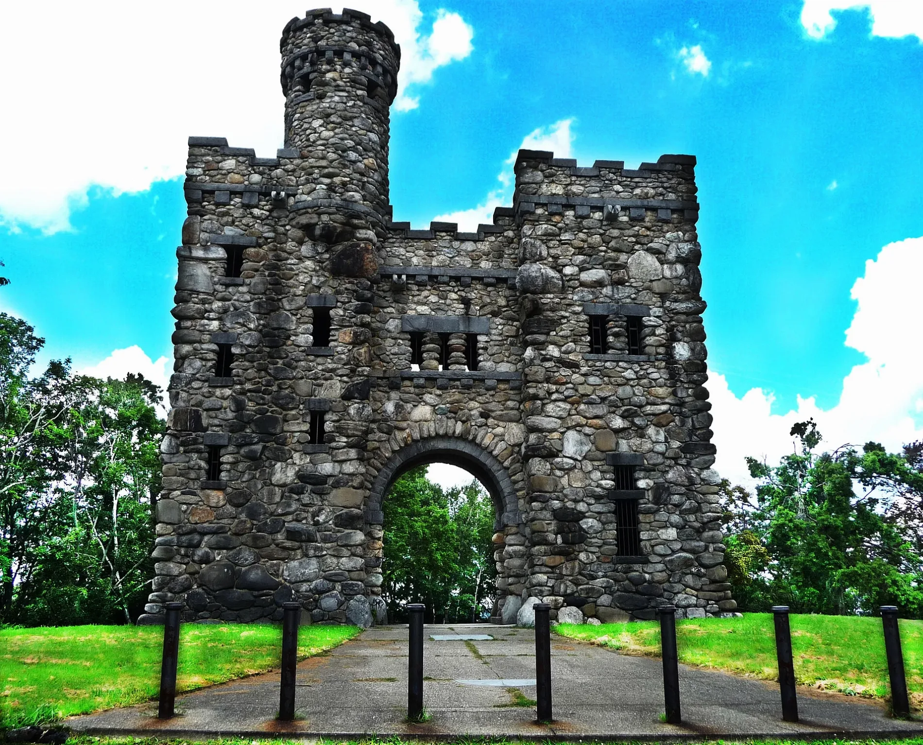
Opticians
Gas stations
Artworks
Tailor shops
Food courts
Fountains
Fast food restaurants
Places of worship
Schools
Tourist information centers
Post offices
Restaurants
Charging stations
Convenience stores
Clinics
Bookstores
Event venues
Streets nearby
Beechmont Street300 ft
Howatson Way400 ft
Salisbury Crag500 ft
Mount Hope Terrace500 ft
Massachusetts Avenue0.1 mi
Farnum Street0.1 mi
Bancroft Tower Road0.1 mi
Hall Street0.1 mi
Germain Street0.2 mi
Westland Street0.2 mi
Homer Street0.2 mi
Lee Street0.2 mi
Russell StreetForgues, Doctors of Optometry, Pleasant Street Firehouse
0.2 mi
Park AvenueBagel Time, Mobil, Metz Opticians, Worcester Fire Department, Peppercorns Grill & Bar, Family Farms, Bank of America, Da Lat, Starlight Laundrymat, Double Down Brewing Co., Hamilton Computer Repairs, Clark Counseling Services/Health Services, Wang Wang Restaurant, OMG! Braces, Subway, Yoway Cafe & Frozen Yogurt, Studio 31 Tattoo Social Club, Mochinut, T-Mobile, Dunkin', Snipes, Park View Room, IKrave cafe, KFC/Taco Bell, TD Bank, Baba Sushi Restaurant, Rocco's Gentlemen's Clothing, Domino's, Chuan Shabu, Loft 266, El Basha, Jelly's Discs, Haiku Sushi, AutoZone, Altea's Eatery, Passport Health Worcester Travel Clinic, psychic palm and tarot readings, Starbucks, Goodwill, Boston Donuts, Speedway
0.2 mi
Valley Hill Drive0.2 mi
Institute RoadSalisbury Mansion, WPI Health Services, The Halal Shack
0.2 mi
Dover StreetDunkin', Yatco Food Mart
0.2 mi
Valley Hill Lane0.3 mi
Pine Tree Drive0.3 mi
Highland StreetHuman Chess Board, The Sole Proprietor, Thai Time, Bean Counter, Boynton Restaurant & Spirits, Tech Pizza, Subway, Dragon Dynasty, The Boynton, Taqueria del Pueblo, Grill and Green, Major Taylor Museum
0.3 mi
Pine Tree Lane0.3 mi
Haviland Street0.3 mi
Hackfeld Road0.3 mi
Terrace Drive0.3 mi
Newton Avenue North0.4 mi
Mabelle Street0.4 mi
Highland Terrace0.4 mi
Manila Street0.4 mi
Suburban Road0.4 mi
Somerset Street0.4 mi
Amherst Street0.4 mi
Longworth Road0.4 mi
Chalmers Road0.5 mi
Newton AvenueYeshiva Hebrew Day Academy, Chabad Shul – Congregation Tifereth Israel Sons of Jacob
0.5 mi
Newton SquareNewton Square
0.5 mi
Huntley StreetMikvah Association of Worcester
0.5 mi
Pleasant StreetCentro Cristiano Fey Y Gracia Inc., Blue Jeans Pizza, Sol of Mexico, Worcester Fire Department, Christ the King Church, First Congregational Church, Lulu's Bakery and Cafe, Tatnuck Meat Market, Tatnuck Square, BP, Metro by T-Mobile, Berry Fusion Frozen Yogurt, Espress Yourself Coffee, Tatnuck Magnet Branch Library, On the Rise Baking, The Plant Ward, Oleander Piercing, Leitrim's Pub, Rob Roy Academy, Newton Square Pizza, Starline Fashions, Uncle Sam Market, Clarisse Hair Braiding, Worcester Pediatric Dental Group
0.5 mi
Buildings nearby
Lyman Gordan House0.1 mi
WPI Facilities Dept0.1 mi
Bancroft Tower0.2 mi
Alpha Xi Delta0.3 mi
Fire Alarm and Telegraph Building0.5 mi
Parks nearby
Salisbury Park0.2 mi
Elm Park0.3 mi
Post offices nearby
The UPS Store0.2 mi
Recreation grounds nearby
Newton Avenue Park0.3 mi
Retail buildings nearby
Park Ave Common0.2 mi
Supermarkets nearby
Market 320.3 mi
Technical colleges nearby
WPI Army ROTC0.3 mi
 Public transit map Worcester Legend
| Railway | |
| Bus | |
| Streetcar |
 Bicycle map Worcester Legend
| Bike path | |
| Bike lane on roadway | |
| Cycling allowed on bus lane | |
| Bicycle street | |
| Open to cyclists | |
| Open to cyclists, good path | |
| Cycling prohibited | |
| Cobblestone |
| Long-distance bike route | (depending on scale) | |
| Long-distance bike route |
 Pedestrian map Worcester Legend
| Path |
| Long-distance hiking trail | (depending on scale) | |
| Long-distance hiking trail | ||
| Pedestrians prohibited |