
Massachusetts Avenue in Worcester, Massachusetts
Massachusetts Avenue in Worcester is a two-lane residential street. The street has a width of 22.9. It runs in a northeast-southwest direction starting from Salisbury Street and crosses Metcalf Street, Drury Lane, Bancroft Tower Road, Mount Hope Terrace and Hall Street and ends at Park Avenue. This street is part of the Hiking trail "East-West Trail". Massachusetts Avenue also exists in Lunenburg and Southbridge.
- Road Type
- residential street
- Lanes
- 2
- Route
- northeast-southwest
Image
Opticians
Convenience stores
Tourist information centers
Post offices
Artworks
Cafes
Fast food restaurants
Charging stations
Bookstores
Fountains
Public clocks
Restaurants
Gas stations
Clinics
Food courts
Tailor shops
Movie theaters
Streets nearby
Homer Street300 ft
Institute RoadSalisbury Mansion, WPI Health Services, The Halal Shack
500 ft
Dover StreetDunkin', Yatco Food Mart
550 ft
Hall Street0.1 mi
Russell StreetForgues, Doctors of Optometry, Pleasant Street Firehouse
0.1 mi
Mount Hope Terrace0.2 mi
Drury Lane0.2 mi
Bancroft Tower Road0.2 mi
Salisbury Crag0.2 mi
Einhorn Road0.2 mi
Farnum Street0.2 mi
Hackfeld Road0.2 mi
Lee Street0.2 mi
Farnum TerraceHammond Heights
0.2 mi
Park AvenueBagel Time, Mobil, Metz Opticians, Worcester Fire Department, Peppercorns Grill & Bar, Family Farms, Bank of America, Da Lat, Starlight Laundrymat, Double Down Brewing Co., Hamilton Computer Repairs, Clark Counseling Services/Health Services, Wang Wang Restaurant, OMG! Braces, Subway, Yoway Cafe & Frozen Yogurt, Studio 31 Tattoo Social Club, Mochinut, T-Mobile, Dunkin', Snipes, Park View Room, IKrave cafe, KFC/Taco Bell, TD Bank, Baba Sushi Restaurant, Rocco's Gentlemen's Clothing, Domino's, Chuan Shabu, Loft 266, El Basha, Jelly's Discs, Haiku Sushi, AutoZone, Altea's Eatery, Passport Health Worcester Travel Clinic, psychic palm and tarot readings, Starbucks, Goodwill, Boston Donuts, Speedway
0.2 mi
Westland Street0.3 mi
Trowbridge Road0.3 mi
Howe Street0.4 mi
Somerset Street0.4 mi
Roxbury Street0.4 mi
Buildings nearby
WPI Facilities Dept0.2 mi
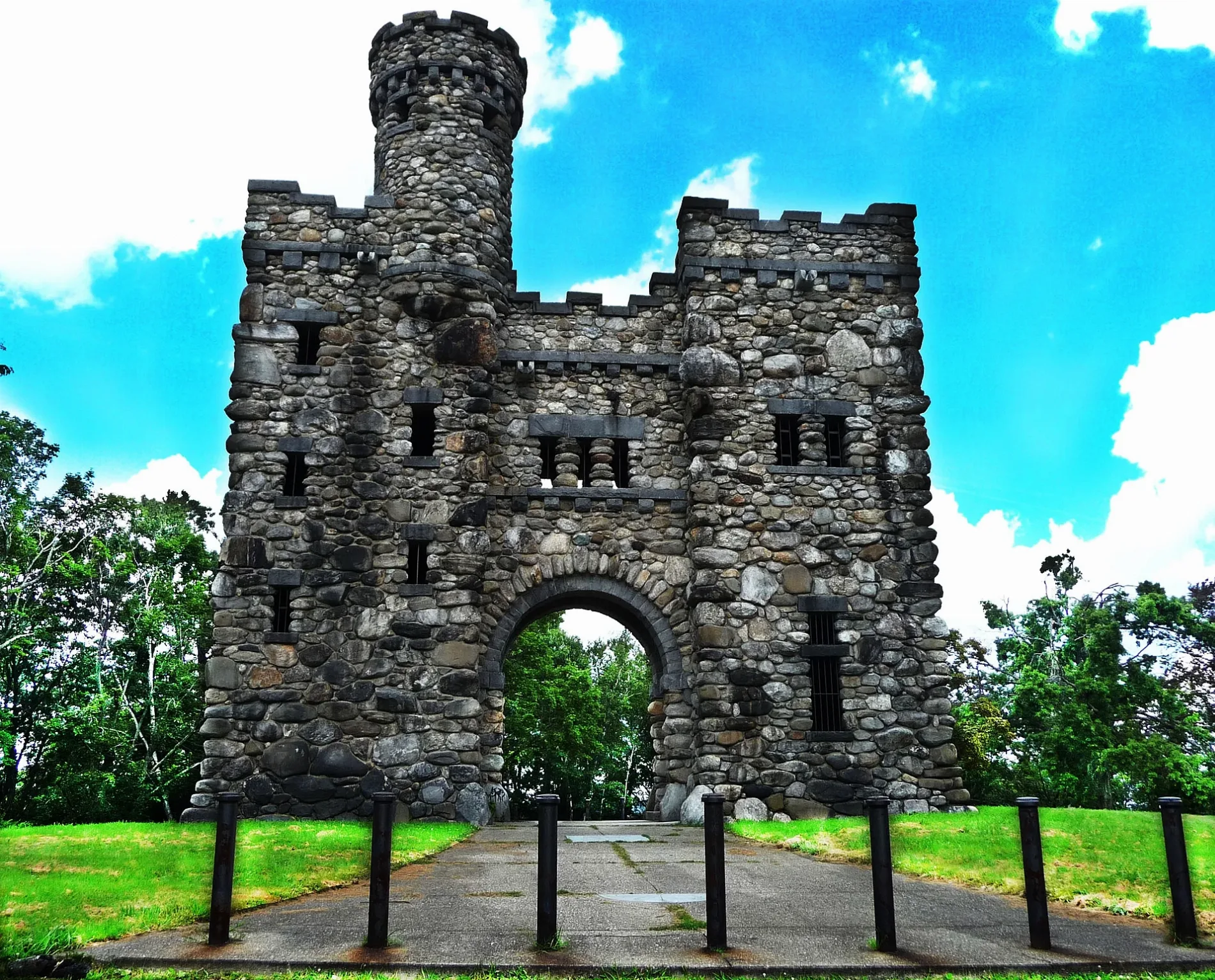
Bancroft Tower0.2 mi
Alpha Xi Delta0.2 mi
Alpha Phi0.2 mi
Office of Pre-Collegiate Outreach Programs0.3 mi
Lyman Gordan House0.3 mi
Alpha Gamma Delta0.3 mi
Boutin Hall0.3 mi
Collaborative Learning Center0.4 mi
Dormitories nearby
Stoddard C0.1 mi
Stoddard B0.2 mi
Hackfeld House0.2 mi
Stoddard A0.2 mi
Trowbridge House0.2 mi
Parks nearby
Salisbury Park0.2 mi
The Quad0.2 mi
Elm Park0.3 mi
Post offices nearby
The UPS Store0.2 mi
Retail buildings nearby
Park Ave Common0.2 mi
Row houses nearby
Ellsworth Apartments0.2 mi
Sports centers nearby
WPI Sports and Recreation Center0.2 mi
Sports fields nearby
Alumni Field0.1 mi
Rooftop Field0.2 mi
Supermarkets nearby
Market 320.2 mi
Technical colleges nearby
WPI Army ROTC0.1 mi
University buildings nearby
Student Development & Counseling Center0.2 mi
International House0.2 mi
Weller Academic Center0.4 mi
Barrett Hall0.4 mi
 Public transit map Worcester Legend
| Railway | |
| Bus | |
| Streetcar |
 Bicycle map Worcester Legend
| Bike path | |
| Bike lane on roadway | |
| Cycling allowed on bus lane | |
| Bicycle street | |
| Open to cyclists | |
| Open to cyclists, good path | |
| Cycling prohibited | |
| Cobblestone |
| Long-distance bike route | (depending on scale) | |
| Long-distance bike route |
 Pedestrian map Worcester Legend
| Path |
| Long-distance hiking trail | (depending on scale) | |
| Long-distance hiking trail | ||
| Pedestrians prohibited |