
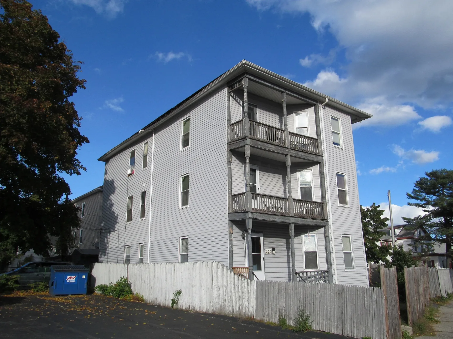
Pembroke Street in Worcester, Massachusetts
Pembroke Street in Worcester is a two-lane residential street. The street has a width of 9.1. It runs in a southeast-northwest direction starting from Park Avenue. Pembroke Street also exists in Bristol County, Middlesex County, Norfolk County, Plymouth County and Suffolk County.
- Road Type
- residential street
- Lanes
- 2
- Route
- southeast-northwest
Image
Pubs
Fire stations
Convenience stores
Cell phone stores
Hair salons
Theaters
Restaurants
Cafes
Tattoo studios
Laundries
Fast food restaurants
Libraries
ATMs
Dentist offices
Computer stores
Supermarkets
Streets nearby
West Oberlin StreetViet Cafe, Phoever Whatever
300 ft
Charlotte StreetLanguage Arts Resource Center, Michelson Theater
0.2 mi
Pemberton Street0.2 mi
Page Street0.2 mi
Clifton Street0.2 mi
Decatur Street0.2 mi
Hollywood Street0.2 mi
Oberlin Street0.2 mi
Clifton Terrace0.2 mi
Harrington House Driveway0.3 mi
Woodland Parkway0.3 mi
Claremont Street0.3 mi
Hawthorne StreetWCUW Community Radio, Rose Library
0.3 mi
Norwood Street0.3 mi
Loudon Street0.3 mi
Buildings nearby
Gates House0.2 mi
Little Center0.3 mi
Henry G. Taft House0.3 mi
Center for Counseling and Personal Growth0.3 mi
Marketing and Communications0.3 mi
Alumni Affairs/Career Services0.3 mi
Harrington House0.3 mi
Corner House0.3 mi
Hampton House0.3 mi
Beck House0.3 mi
Anderson House0.3 mi
Cohen-Lasry House0.3 mi
Carriage House0.3 mi
International Development, Community, and Environment0.3 mi
Downing Administration Center0.3 mi
IDCE House, 10 Hawthorne Street0.3 mi
Clark Student Housing0.4 mi
Convenience stores nearby
7-Eleven450 ft
Dormitories nearby
Dodd Hall0.2 mi
Wright Hall0.3 mi
Gardens nearby
Jakubowitz-Chaifetz Garden0.3 mi
Grasslands nearby
President's Field0.2 mi
Fuller Quadrangle0.3 mi
Zen Garden0.3 mi
Houses nearby
J. E. Drury House0.3 mi
Graduate Residential Housing0.3 mi
Edgar Reed House0.3 mi
Charles Kirby House0.3 mi
Elias Crawford House0.3 mi
Libraries nearby
Jeanne X. Kasperson Research Library0.3 mi
Research institutes nearby
George Perkins Marsh Institute0.3 mi
Retail buildings nearby
Wan Wang Restaurant550 ft
School buildings nearby
Center for Media Arts, Computing, and Design0.3 mi
University buildings nearby
Estabrook Hall0.3 mi
Colin Flug Graduate Study Wing0.3 mi
 Public transit map Worcester Legend
| Railway | |
| Bus | |
| Streetcar |
 Bicycle map Worcester Legend
| Bike path | |
| Bike lane on roadway | |
| Cycling allowed on bus lane | |
| Bicycle street | |
| Open to cyclists | |
| Open to cyclists, good path | |
| Cycling prohibited | |
| Cobblestone |
| Long-distance bike route | (depending on scale) | |
| Long-distance bike route |
 Pedestrian map Worcester Legend
| Path |
| Long-distance hiking trail | (depending on scale) | |
| Long-distance hiking trail | ||
| Pedestrians prohibited |