
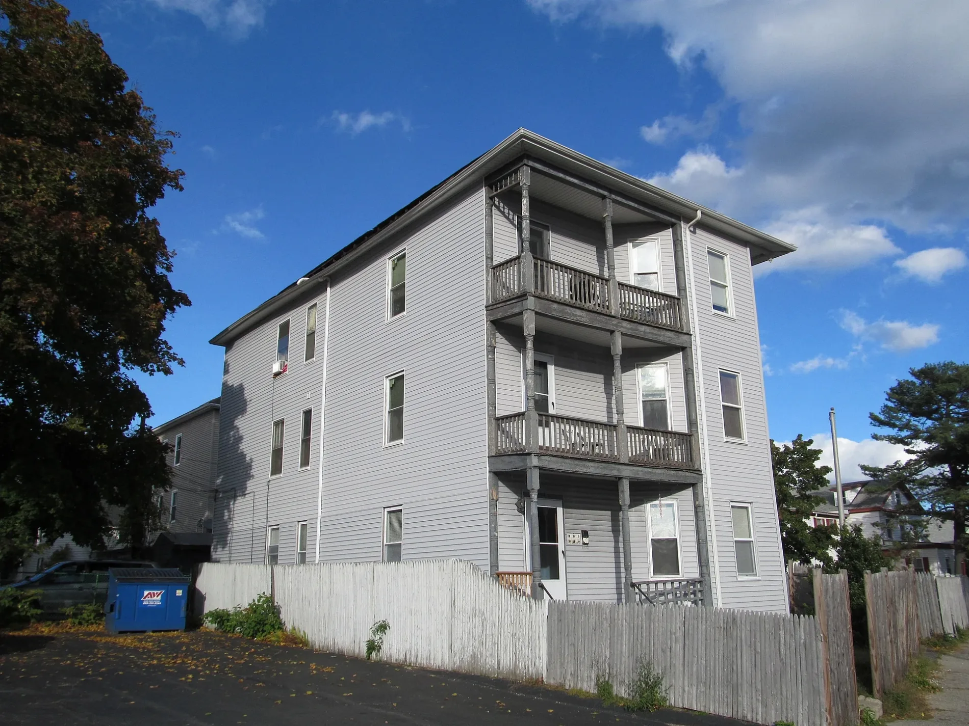
Pemberton Street in Worcester, Massachusetts
Pemberton Street in Worcester is a two-lane, unpaved residential street. The street has a width of 10.7. It runs in an east-west direction starting from Dewey Street. Pemberton Street also exists in Middlesex County and Norfolk County.
- Road Type
- residential street
- Lanes
- 2
- Route
- east-west
Image
Convenience stores
Tattoo studios
Dentist offices
Pubs
Pharmacies
Schools
Restaurants
Fire stations
Gas stations
Fast food restaurants
Cafes
Hair salons
Cell phone stores
ATMs
Supermarkets
Streets nearby
Park AvenueWang Wang Restaurant, OMG! Braces, Subway, Yoway Cafe & Frozen Yogurt, Studio 31 Tattoo Social Club, Mochinut, T-Mobile, Bagel Time, Mobil, Metz Opticians, Worcester Fire Department, Peppercorns Grill & Bar, Family Farms, Bank of America, Da Lat, Starlight Laundrymat, Double Down Brewing Co., Hamilton Computer Repairs, Clark Counseling Services/Health Services, Dunkin', Snipes, Park View Room, IKrave cafe, KFC/Taco Bell, TD Bank, Baba Sushi Restaurant, Rocco's Gentlemen's Clothing, Domino's, Chuan Shabu, Loft 266, El Basha, Jelly's Discs, Haiku Sushi, AutoZone, Altea's Eatery, Passport Health Worcester Travel Clinic, psychic palm and tarot readings, Starbucks, Goodwill, Boston Donuts, Speedway
350 ft
Parker StreetFamilia Barber Shop
500 ft
Page Street550 ft
Decatur Street0.1 mi
Mason Court0.1 mi
Pembroke Street0.1 mi
Hollywood Street0.1 mi
West Oberlin StreetViet Cafe, Phoever Whatever
0.2 mi
Winfield Street0.2 mi
Westfield Street0.2 mi
Maple Tree Lane0.2 mi
Bluff Street0.2 mi
Bancroft Street0.2 mi
May StreetAmerica's Food Basket, Husky's Pub
0.2 mi
Woodland StreetWoodland Academy, Daniels Theater, Cinema 360, Annie's Clark Brunch, ChargePoint
0.2 mi
Mayside Lane0.3 mi
Kingsbury Street0.3 mi
Mason StreetDunkin'
0.3 mi
Bellevue Street0.3 mi
Mayfield Street0.3 mi
Chandler StreetGolden Pizza, Tatnuck Mobil, Ideal Americana Tattoo Company, Root & Press, Cumberland Farms, Speedway, Loving Hut, UMass Memorial Health Community Healthlink Youth and Family Center, NU Chicken, Antonio’s Pizza By The Slice Kitchen & Bar - Worcester
0.4 mi
Jaques Avenue0.4 mi
Dewey StreetKai Sushi Bar and Grill
0.4 mi
Abbott StreetWalgreens
0.4 mi
Austin StreetSaint Pauls School
0.4 mi
Abbott Place0.4 mi
Buildings nearby
Eastern and Western Medical Center350 ft
Regal Crown Food Service Specialists Inc (Regal Pickle Works)0.2 mi
The Fieldstone School & MLK Jr. Business Empowerment Center0.3 mi
Clinics nearby
Planned Parenthood0.4 mi
Community centers nearby
Worcester Youth Center0.3 mi
Convenience stores nearby
7-Eleven300 ft
Drugstores nearby
CVS Pharmacy0.1 mi
Walgreens0.3 mi
Libraries nearby
Jeanne X. Kasperson Research Library0.2 mi
Liquor stores nearby
Austin Liquors0.1 mi
Parks nearby
General Foley Stadium0.3 mi
Beaver Brook Park0.3 mi
Places of worship nearby
Mt. Zion Sanctuary Assembly Massachusetts250 ft
Chùa Phổ Hiền;Pho Hien Buddhist Meditation Temple0.1 mi
Retail buildings nearby
Wan Wang Restaurant250 ft
Studio 31 Tattoo Social Club300 ft
Caola Equipment300 ft
Yoway Cafe & Frozen Yogurt300 ft
National Glass Works Inc0.1 mi
Sports fields nearby
Sharkside Community Skatepark0.2 mi
John Coughlin Field0.3 mi
Commerce Bank Field0.4 mi
Streams nearby
Beaver Brook0.3 mi
 Public transit map Worcester Legend
| Railway | |
| Bus | |
| Streetcar |
 Bicycle map Worcester Legend
| Bike path | |
| Bike lane on roadway | |
| Cycling allowed on bus lane | |
| Bicycle street | |
| Open to cyclists | |
| Open to cyclists, good path | |
| Cycling prohibited | |
| Cobblestone |
| Long-distance bike route | (depending on scale) | |
| Long-distance bike route |
 Pedestrian map Worcester Legend
| Path |
| Long-distance hiking trail | (depending on scale) | |
| Long-distance hiking trail | ||
| Pedestrians prohibited |