
Westfield Street in Worcester, Massachusetts
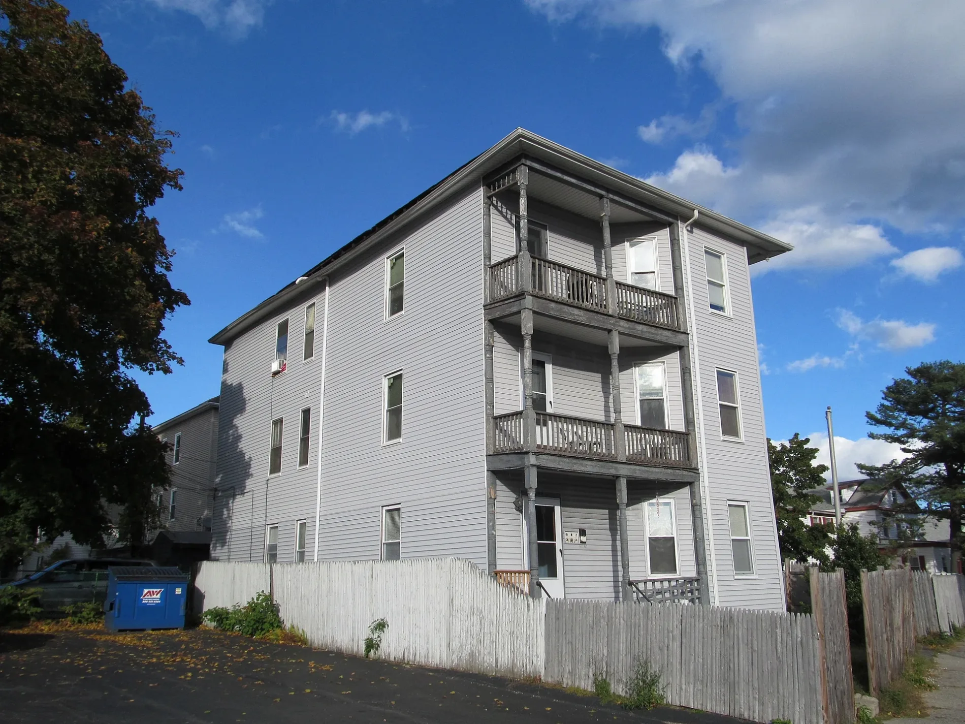
Westfield Street in Worcester is a two-lane residential street. The street has a width of 14.6. It runs in a northeast-southwest direction starting from Winfield Street and crosses May Street and Enfield Street. Westfield Street also exists in Hampden County and Norfolk County.
- Road Type
- residential street
- Lanes
- 2
- Route
- northeast-southwest
Image
Pubs
Convenience stores
Cafes
Tattoo studios
Hair salons
Theaters
Restaurants
Dentist offices
Libraries
Laundries
Fast food restaurants
Fire stations
ATMs
Computer stores
Cell phone stores
Supermarkets
Clinics
Streets nearby
Maple Tree Lane300 ft
Pembroke Street400 ft
West Oberlin StreetViet Cafe, Phoever Whatever
500 ft
Enfield StreetMy Sister's Crawfish II
500 ft
May StreetAmerica's Food Basket, Husky's Pub
550 ft
Winfield Street0.1 mi
Mayfield Street0.1 mi
Maybrook Place0.1 mi
Park AvenueWorcester Fire Department, Peppercorns Grill & Bar, Family Farms, Bank of America, Da Lat, Starlight Laundrymat, Double Down Brewing Co., Hamilton Computer Repairs, Clark Counseling Services/Health Services, Bagel Time, Mobil, Metz Opticians, Wang Wang Restaurant, OMG! Braces, Subway, Yoway Cafe & Frozen Yogurt, Studio 31 Tattoo Social Club, Mochinut, T-Mobile, Dunkin', Snipes, Park View Room, IKrave cafe, KFC/Taco Bell, TD Bank, Baba Sushi Restaurant, Rocco's Gentlemen's Clothing, Domino's, Chuan Shabu, Loft 266, El Basha, Jelly's Discs, Haiku Sushi, AutoZone, Altea's Eatery, Passport Health Worcester Travel Clinic, psychic palm and tarot readings, Starbucks, Goodwill, Boston Donuts, Speedway
0.1 mi
Fairfield Street0.2 mi
Beaver Brook Parkway0.2 mi
Northridge Street0.2 mi
Charlotte StreetLanguage Arts Resource Center, Michelson Theater
0.2 mi
Hiscox Street0.2 mi
Friedel Street0.2 mi
Mayfair Street0.2 mi
Shirley Street0.3 mi
Fern Street0.3 mi
Florence StreetBeaver Street Historic District
0.3 mi
Downing StreetTraina Center Resource Library, Razzo Hall
0.3 mi
Roy Street0.3 mi
Stevens Road0.3 mi
Birch Street0.3 mi
Thayer Street0.3 mi
Maywood StreetWorcester Pizza Factory, Mint Restaurant & Bar
0.4 mi
Oliver Street0.4 mi
Woodbine Street0.4 mi
Buildings nearby
Johnson Sanford Center0.3 mi
Gates House0.3 mi
Little Center0.3 mi
Clark Student Housing0.3 mi
Cell phone stores nearby
AT&T0.1 mi
Dormitories nearby
Dodd Hall0.3 mi
Wright Hall0.3 mi
Hughes Hall0.3 mi
Dana Hall0.4 mi
Bullock Hall0.4 mi
Drugstores nearby
CVS Pharmacy550 ft
Fast food restaurants nearby
Wendy's0.3 mi
Fire pits nearby
"Stonehenge" Sitting Area0.4 mi
Grasslands nearby
Fuller Quadrangle0.3 mi
Alden Quadrangle0.4 mi
Nature reserves nearby
Clark University Property0.2 mi
Parking lots nearby
Clark University Parking Garage0.3 mi
Recycling centers nearby
Clark University Recycling Center0.3 mi
Sports centers nearby
Kneller Athletic Center0.3 mi
Streams nearby
Beaver Brook0.1 mi
University buildings nearby
Dana Commons0.4 mi
Carlson Hall0.4 mi
 Public transit map Worcester Legend
| Railway | |
| Bus | |
| Streetcar |
 Bicycle map Worcester Legend
| Bike path | |
| Bike lane on roadway | |
| Cycling allowed on bus lane | |
| Bicycle street | |
| Open to cyclists | |
| Open to cyclists, good path | |
| Cycling prohibited | |
| Cobblestone |
| Long-distance bike route | (depending on scale) | |
| Long-distance bike route |
 Pedestrian map Worcester Legend
| Path |
| Long-distance hiking trail | (depending on scale) | |
| Long-distance hiking trail | ||
| Pedestrians prohibited |