
Gratiot Avenue in Port Huron, Michigan
Gratiot Avenue in Port Huron is a local road. It runs in a north-south direction and crosses Holland Avenue, Lasalle Boulevard, Edison Boulevard, Sanborn Street, Florida Street, Hollis Street, Ballentine Street, Lakeview Avenue, Homer Place, Garfield Street, Riverview Street and Hancock Street. It ends in a cul-de-sac. This street is part of the Bicycle route "Bridge to Bay Trail". Gratiot Avenue also exists in Fort Gratiot Charter Township, Kimball Township, Columbus Township, Casco Township and St. Clair Township.
- Road Type
- local road
- Route
- north-south
Image
Tourist information centers
Theaters
Fountains
Stations
- bus lines 6, Blue Water Trolley
Post offices
Restaurants
Convenience stores
Schools
Places of worship
Courthouses
Pharmacies
Gas stations
Viewpoints
Hospitals
Kindergartens
Hardware stores
Variety stores
Streets nearby
State Street250 ft
Elmwood StreetBistro 1882
500 ft
International Flag Plaza0.1 mi
Conger Avenue0.1 mi
Forest Street0.2 mi
Church Street0.2 mi
Wright Street0.2 mi
Harker Street0.2 mi
Cherry Street0.2 mi
Hancock StreetBP Shop, BP
0.2 mi
Stone Street0.3 mi
Thomas Edison Parkway0.3 mi
Walnut Street0.3 mi
Riverview Street0.3 mi
Omar Street0.4 mi
Maple Street0.4 mi
Alexandra AvenueBluewater Bridge
0.4 mi
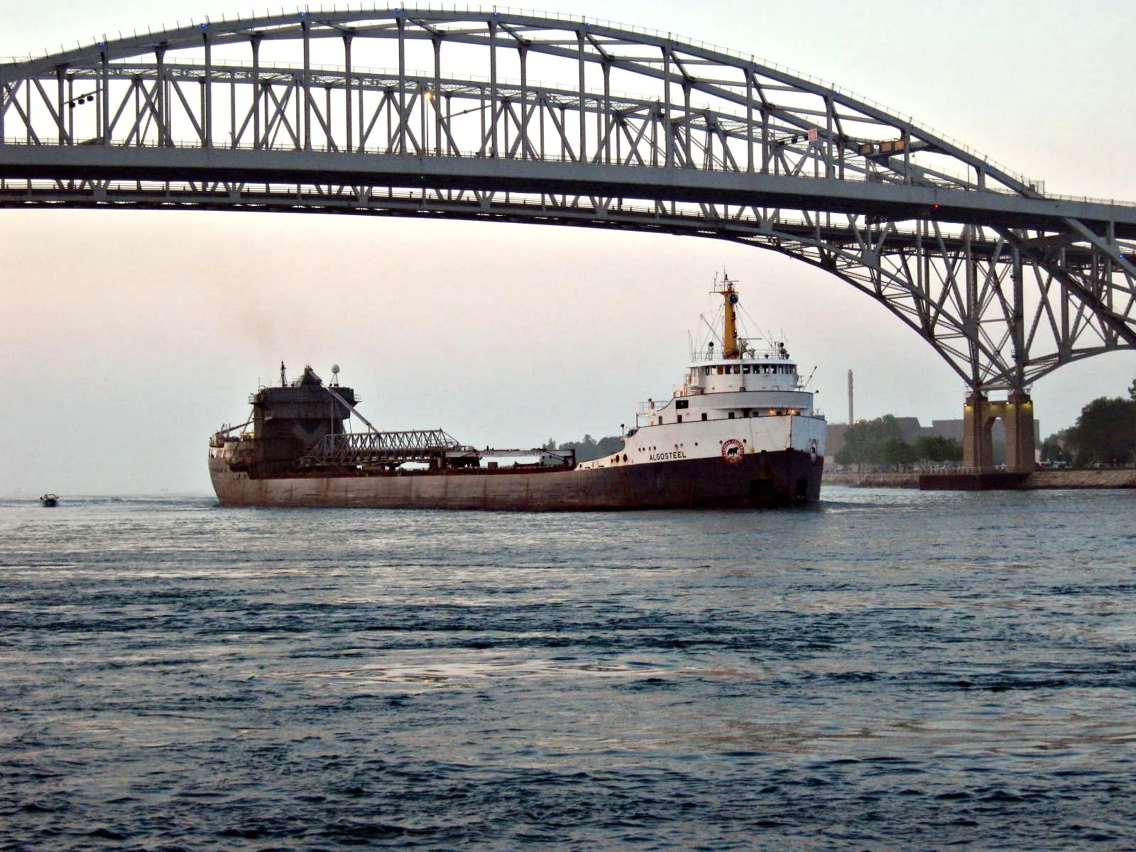
Blue Water Bridge0.4 mi
Armour Street0.4 mi
Garfield StreetEarly Childhood Center
0.4 mi
Venetian BoulevardVenetian Village, Holiday Inn, Tourism Sarnia Lambton
0.4 mi
Livingston Street0.4 mi
Michigan AvenueLivingston Street, Salvatore's Trattoria é Ristoranté, Point Edward Fire Department, Point Edward, Lambton County Library - Point Edward, Monk Street
0.5 mi
Coast Guard AccessU.S. Coast Guard
0.5 mi
Homer Place0.5 mi
Conger StreetKeepers Duties
0.5 mi
Buildings nearby
U.S. Coast Guard0.4 mi
U.S. Coast Guard Station0.5 mi
Fort Gratiot Light0.5 mi
Event venues nearby
Blue Water Convention Center350 ft
Fast food restaurants nearby
Albert's0.5 mi
Hotels nearby
Doubletree by Hilton0.1 mi
Industrial buildings nearby
Dunn Paper0.3 mi
Marinas nearby
Coast Guard Basin0.5 mi
Military areas nearby
Response Boat Pier0.5 mi
U.S. Coast Guard - Station Port Huron0.5 mi
Museums nearby
Thomas Edison Depot Museum450 ft
Parks nearby
Gratiot Park0.1 mi
Amerindians Sculpture Park0.3 mi
Waterfont Park0.3 mi
Palmer Park0.4 mi
Lighthouse Park0.5 mi
Fort Gratiot Light Station0.5 mi
Playgrounds nearby
Waterfront Park Playground0.4 mi
Railways nearby
Mount Clemens Subdivision0.2 mi
Grand Trunk Western Railroad0.3 mi
Restaurants nearby
Freighters Eatery & Taproom500 ft
Schools nearby
The Culinary Institute of Michigan0.2 mi
Other nearby
Canada-US boundary (St. Clair River section)0.2 mi
 Public transit map Port Huron Legend
| Railway | |
| Bus | |
| Streetcar |
 Bicycle map Port Huron Legend
| Bike path | |
| Bike lane on roadway | |
| Cycling allowed on bus lane | |
| Bicycle street | |
| Open to cyclists | |
| Open to cyclists, good path | |
| Cycling prohibited | |
| Cobblestone |
| Long-distance bike route | (depending on scale) | |
| Long-distance bike route |
 Pedestrian map Port Huron Legend
| Path |
| Long-distance hiking trail | (depending on scale) | |
| Long-distance hiking trail | ||
| Pedestrians prohibited |