
Alexandra Avenue in Point Edward, Ontario
Alexandra Avenue in Point Edward is an asphalted residential street. It runs in an east-west direction and crosses Michigan Avenue, Venetian Boulevard, Monk Street, St Clair Street, Albert Street, Alfred Street, Arthur Street and Louisa Street and ends at Front Street, while the other end is a cul-de-sac. This road is part of the bicycle route "Waterfront Trail: Sarnia to Grand Bend". The nearest stop is Bluewater Bridge. The bus line 12 stops here. Alexandra Avenue also exists in Region of Waterloo and Grey County.
- Road Type
- residential street
- Route
- east-west
Image
Bus stops
- bus lines 12
Roads nearby
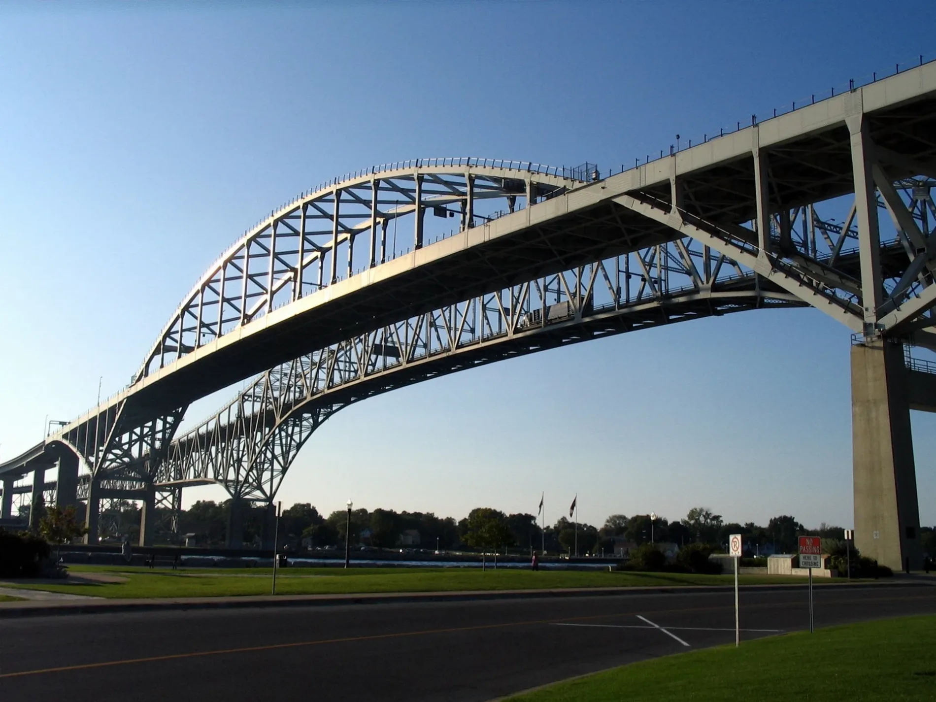
Blue Water Bridge250 m
Livingston Street300 m
International Flag Plaza350 m
Venetian BoulevardVenetian Village, Holiday Inn, Tourism Sarnia Lambton
350 m
Holders Lane350 m
Conger Avenue350 m
Wright Street400 m
Elmwood StreetBistro 1882
450 m
Waterfront TrailAlexandra Avenue, Canada Customs, Best Western Plus Guildwood Inn
450 m
Fort Street450 m
Church Street450 m
Omar Street450 m
Michigan AvenueSalvatore's Trattoria é Ristoranté, Livingston Street, Point Edward Fire Department, Point Edward, Lambton County Library - Point Edward, Monk Street
550 m
Monk Connector600 m
Monk Street600 m
Alice Street650 m
CBSA - Sarnia (Point Edward) Point Of Entry Commercial Secondary Inspection VACIS Lane650 m
Alice Connector700 m
St Clair StreetBottoms Up, Point Brewing Company, Point Edward Police Department
700 m
Maud Street750 m
Victoria Avenue750 m
CBSA - Sarnia (Point Edward) Point Of Entry Commercial Secondary Inspection Access Route850 m
CBSA - Sarnia (Point Edward) Point Of Entry Commercial Secondary Inspection Exit Route850 m
CBSA - Sarnia (Point Edward) Point Of Entry Commercial Lanes900 m
Albert StreetAlbert Street, Earnest
900 m
CBSA - Sarnia (Point Edward) Point Of Entry Commercial Lanesd900 m
Charles Street950 m
Helena StreetLCBO, Marcin Bowl, Fabri Tile, Art Studio, BARE Curvey, Rde & Ko, Davy Jones
1000 m
Highway 4021000 m
CBSA - Sarnia (Point Edward) Point Of Entry Traveler Bus Lane1,0 km
CBSA - Sarnia (Point Edward) Point Of Entry Traveler Lanes1,0 km
CBSA - Sarnia (Point Edward) Point Of Entry Traveler Secondary Inspection1,0 km
Buildings nearby
Bluewater Bridge Duty Free Shop900 m
Carports nearby
Traveler Secondary Inspection Canopy1,1 km
Casinos nearby
Starlight Casino500 m
Events venues nearby
Blue Water Convention Center450 m
Fast food restaurants nearby
Albert's350 m
Ice cream parlours nearby
Suzy's Ice Cream350 m
Ice Cream Galore700 m
Museum nearby
Thomas Edison Depot Museum400 m
Parks nearby
Amerindians Sculpture Park200 m
Waterfont Park200 m
Hillier Park850 m
Places of worship nearby
St. Paul's Anglican Church600 m
Point Edward Presbyterian Church750 m
Playgrounds nearby
Waterfront Park Playground200 m
Restaurants nearby
Freighters Eatery & Taproom450 m
Sports centres nearby
Point Edward Arena650 m
Other nearby
Canada-US boundary (St. Clair River section)250 m
Public transport map Point Edward Legend
| Railway | |
| Bus | |
| Tram |
Cycling map Point Edward Legend
| Cycle path | |
| Cycle lane on road | |
| Cycling on bus lane | |
| Bicycle street | |
| Cyclists allowed | |
| Cyclists allowed, good surface | |
| No cycling | |
| Cobblestones |
| Long-distance cycle route | (depending on scale) | |
| Long-distance cycle route |
Walking map Point Edward Legend
| Path |
| Long-distance hiking trail | (depending on scale) | |
| Long-distance hiking trail | ||
| No pedestrians |