
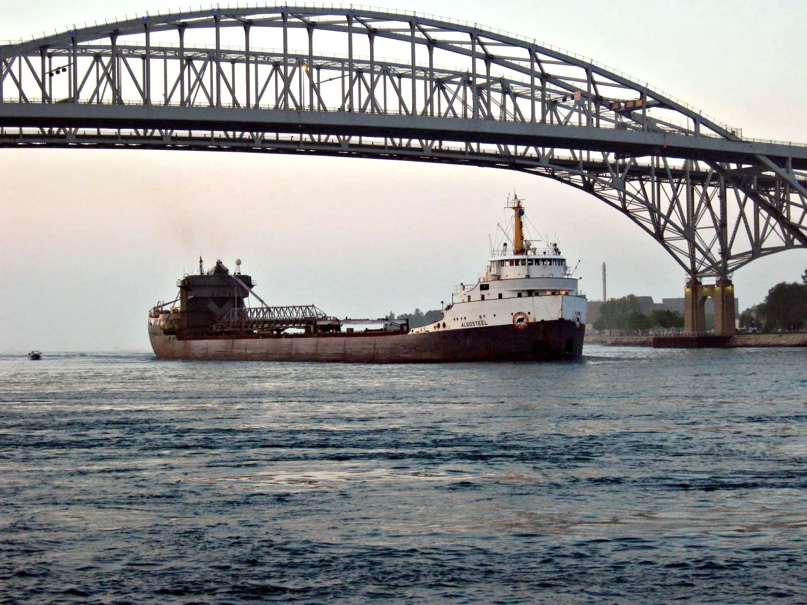
Canada-US boundary (St. Clair River section) in Point Edward, Ontario
Image
Library
Art galleries
Delicatessens
Bar
Butcher's
Bus stops
Shelter
Restaurants
Fire station
Police stations
Clinic
Bakeries
Massage parlours
Roads nearby
International Flag Plaza300 m
Conger Avenue350 m
State Street350 m
Elmwood StreetBistro 1882
350 m
Thomas Edison Parkway400 m
Wright Street400 m
Alexandra AvenueBluewater Bridge
400 m
Venetian BoulevardVenetian Village, Holiday Inn, Tourism Sarnia Lambton
450 m
Blue Water Bridge450 m
Forest Street500 m
Michigan AvenueLivingston Street, Salvatore's Trattoria é Ristoranté, Point Edward Fire Department, Point Edward, Lambton County Library - Point Edward, Monk Street
500 m
Saint Clair Street500 m
Waterfront TrailAlexandra Avenue, Canada Customs, Best Western Plus Guildwood Inn
500 m
Harker Street550 m
Livingston Street550 m
Omar Street550 m
Willow Street550 m
Holders Lane600 m
Church Street600 m
Victoria Avenue650 m
Gratiot Avenue650 m
Edison Shores Place700 m
Cherry Street700 m
Mansfield Street700 m
Thomas Edison Drive700 m
Lyon Street700 m
Hancock StreetBP Shop, BP
700 m
Edison Shores Street750 m
Stone Street750 m
Edison Shores Court750 m
Whipple Street800 m
Elk Street850 m
Edison Shores Lane850 m
McPherson Street900 m
Abandoned railways nearby
Mount Clemens Subdivision900 m
Casinos nearby
Starlight Casino450 m
Events venues nearby
Blue Water Convention Center250 m
Fast food restaurants nearby
Albert's550 m
Hotels nearby
Doubletree by Hilton350 m
Ice cream parlours nearby
Suzy's Ice Cream550 m
Industrial buildings nearby
Dunn Paper650 m
Museum nearby
Thomas Edison Depot Museum200 m
Parks nearby
Amerindians Sculpture Park200 m
Waterfont Park250 m
Gratiot Park550 m
Mansfield Park600 m
Playgrounds nearby
Waterfront Park Playground400 m
Restaurants nearby
Freighters Eatery & Taproom250 m
Schools nearby
The Culinary Institute of Michigan350 m
Public transport map Point Edward Legend
| Railway | |
| Bus | |
| Tram |
Cycling map Point Edward Legend
| Cycle path | |
| Cycle lane on road | |
| Cycling on bus lane | |
| Bicycle street | |
| Cyclists allowed | |
| Cyclists allowed, good surface | |
| No cycling | |
| Cobblestones |
| Long-distance cycle route | (depending on scale) | |
| Long-distance cycle route |
Walking map Point Edward Legend
| Path |
| Long-distance hiking trail | (depending on scale) | |
| Long-distance hiking trail | ||
| No pedestrians |