
Fort Street in Point Edward, Ontario
Fort Street in Point Edward is a two-lane, asphalted residential street. The road has sidewalks (asphalt). It runs in a north-south direction and ends at Victoria Avenue, while the other end is a cul-de-sac. Fort Street also exists in Sarnia.
- Road Type
- residential street
- Lanes
- 2
- Route
- north-south
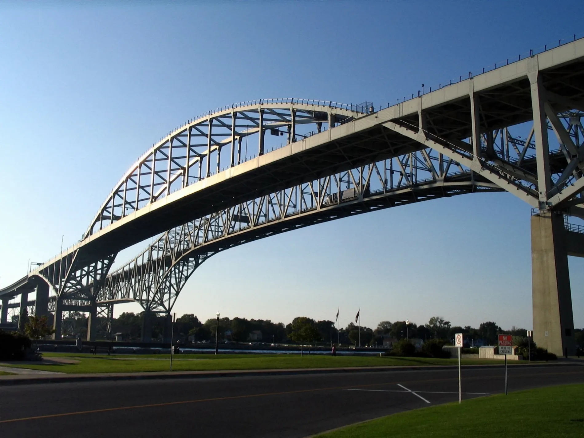
Image
Library
Dentist
Clinic
Art galleries
Butcher's
Bus stops
Shelter
Restaurants
Fire station
Police stations
Bakeries
Delicatessens
Massage parlours
Roads nearby
Monk Connector150 m
Livingston Street200 m
Holders Lane250 m
Alice Connector300 m
Michigan AvenueSalvatore's Trattoria é Ristoranté, Livingston Street, Point Edward Fire Department, Point Edward, Lambton County Library - Point Edward, Monk Street
300 m
Alice Street300 m
Blue Water Bridge350 m
Monk Street400 m
St Clair StreetBottoms Up, Point Brewing Company, Point Edward Police Department
400 m
Maud Street400 m
Victoria Avenue400 m
Alexandra AvenueBluewater Bridge
450 m
Venetian BoulevardVenetian Village, Holiday Inn, Tourism Sarnia Lambton
500 m
Waterfront TrailAlexandra Avenue, Canada Customs, Best Western Plus Guildwood Inn
600 m
CBSA - Sarnia (Point Edward) Point Of Entry Commercial Secondary Inspection VACIS Lane600 m
Charles Street600 m
Wright Street650 m
International Flag Plaza700 m
Conger Avenue700 m
Church Street700 m
Thomas Edison Parkway700 m
Elmwood StreetBistro 1882
750 m
Omar Street800 m
Coast Guard AccessU.S. Coast Guard
800 m
Forest Street850 m
Conger StreetKeepers Duties
900 m
Garfield StreetEarly Childhood Center
1000 m
Buildings nearby
U.S. Coast Guard Station750 m
U.S. Coast Guard750 m
Fort Gratiot Light850 m
Fast food restaurants nearby
Albert's300 m
Ice cream parlours nearby
Suzy's Ice Cream300 m
Ice Cream Galore450 m
Industrial buildings nearby
Dunn Paper650 m
Marinas nearby
Coast Guard Basin800 m
Military areas nearby
Response Boat Pier750 m
U.S. Coast Guard - Station Port Huron800 m
Museum nearby
Thomas Edison Depot Museum800 m
Parks nearby
Amerindians Sculpture Park550 m
Waterfont Park550 m
Lighthouse Park900 m
Fort Gratiot Light Station950 m
Places of worship nearby
St. Paul's Anglican Church300 m
Point Edward Presbyterian Church400 m
Playgrounds nearby
Waterfront Park Playground300 m
Railway lines nearby
Mount Clemens Subdivision700 m
Grand Trunk Western Railroad700 m
Sports centres nearby
Point Edward Arena500 m
Other nearby
Canada-US boundary (St. Clair River section)700 m
Public transport map Point Edward Legend
| Railway | |
| Bus | |
| Tram |
Cycling map Point Edward Legend
| Cycle path | |
| Cycle lane on road | |
| Cycling on bus lane | |
| Bicycle street | |
| Cyclists allowed | |
| Cyclists allowed, good surface | |
| No cycling | |
| Cobblestones |
| Long-distance cycle route | (depending on scale) | |
| Long-distance cycle route |
Walking map Point Edward Legend
| Path |
| Long-distance hiking trail | (depending on scale) | |
| Long-distance hiking trail | ||
| No pedestrians |